Featured

Week 52 –Nature’s salty masterpiece  – adventures at Lake Tyrell

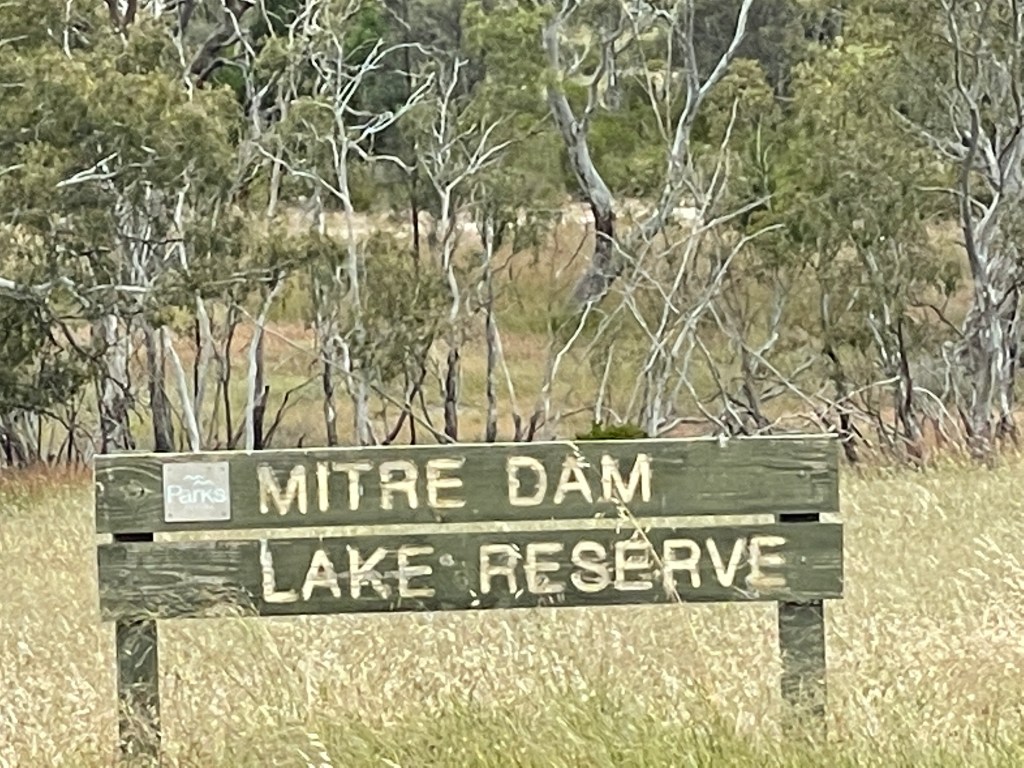
  • What Lake Tyrrell – Direl – Victoria’s largest salt lake
  • Where – 6km north of Sea Lake in the southern Mallee
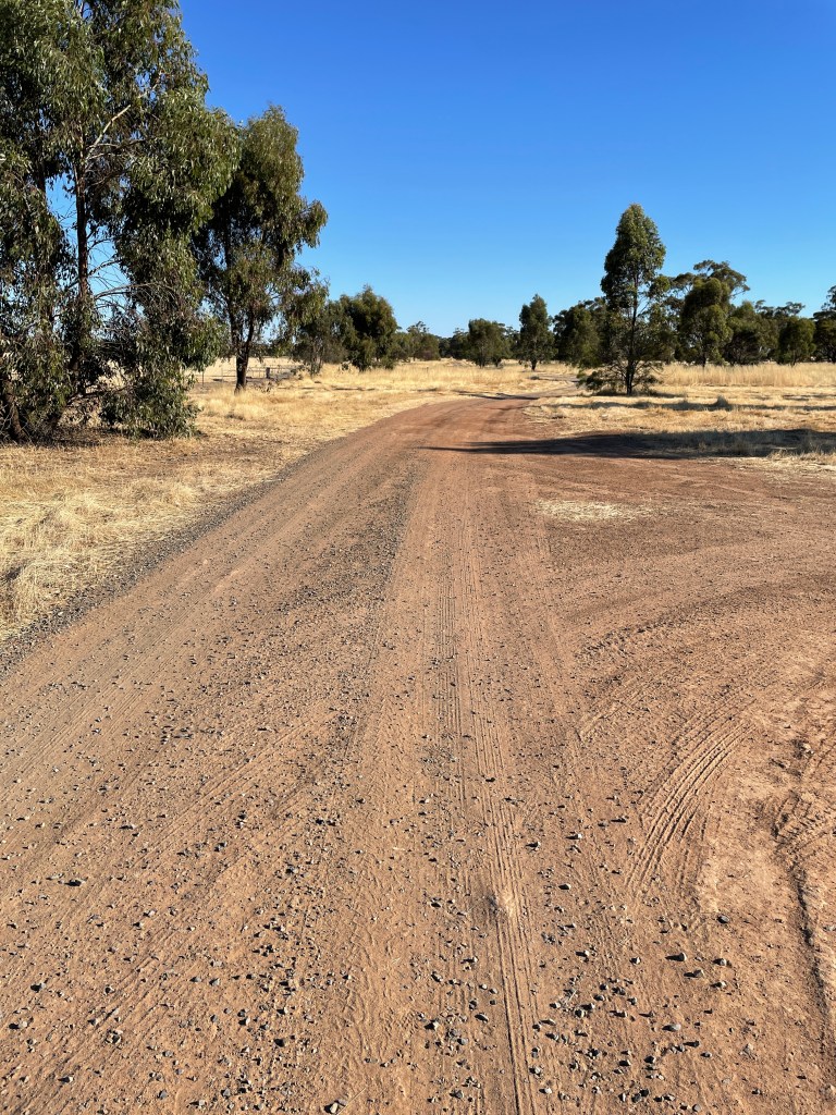
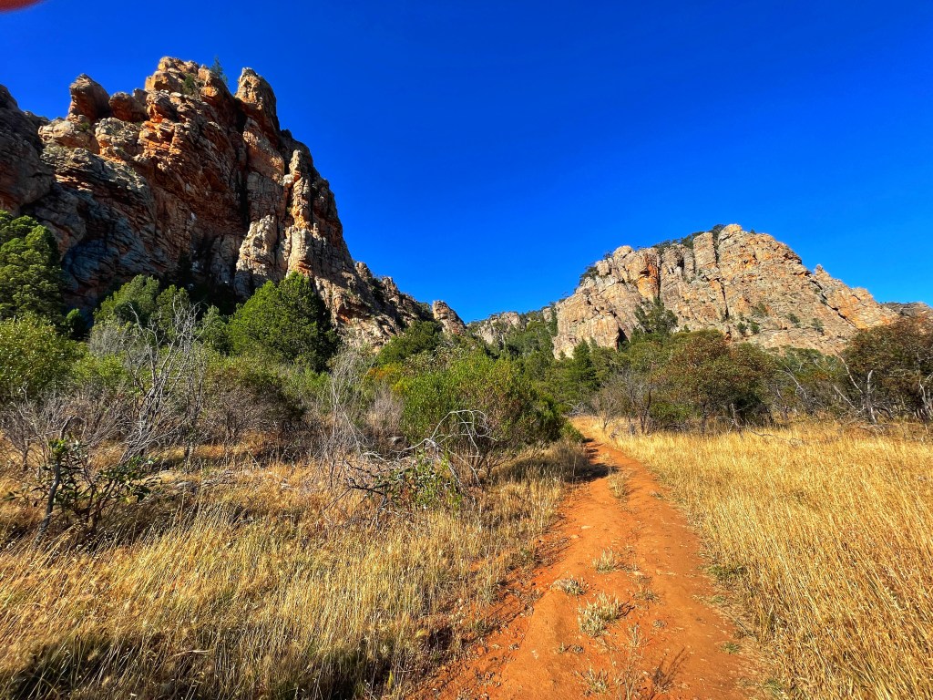
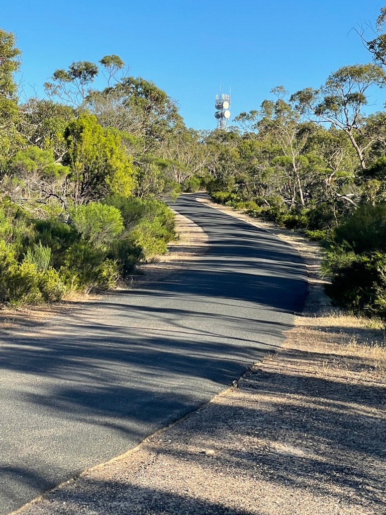
  • How far – several short walks
  • 10 words – salty, textured, flat, vast, light, shade, vibrant, ancient, reflective

There were two good reasons for wanting to visit Lake Tyrrell, near Sea Lake.

  1. I love sunsets.
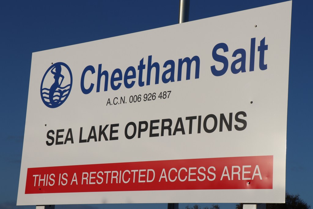
  2. It is home of Cheetham Salt, a company founded in the late 1800s by Great Great Great uncle Richard, (Mum was a Cheetham) and for whom my great grandfather worked in Geelong.

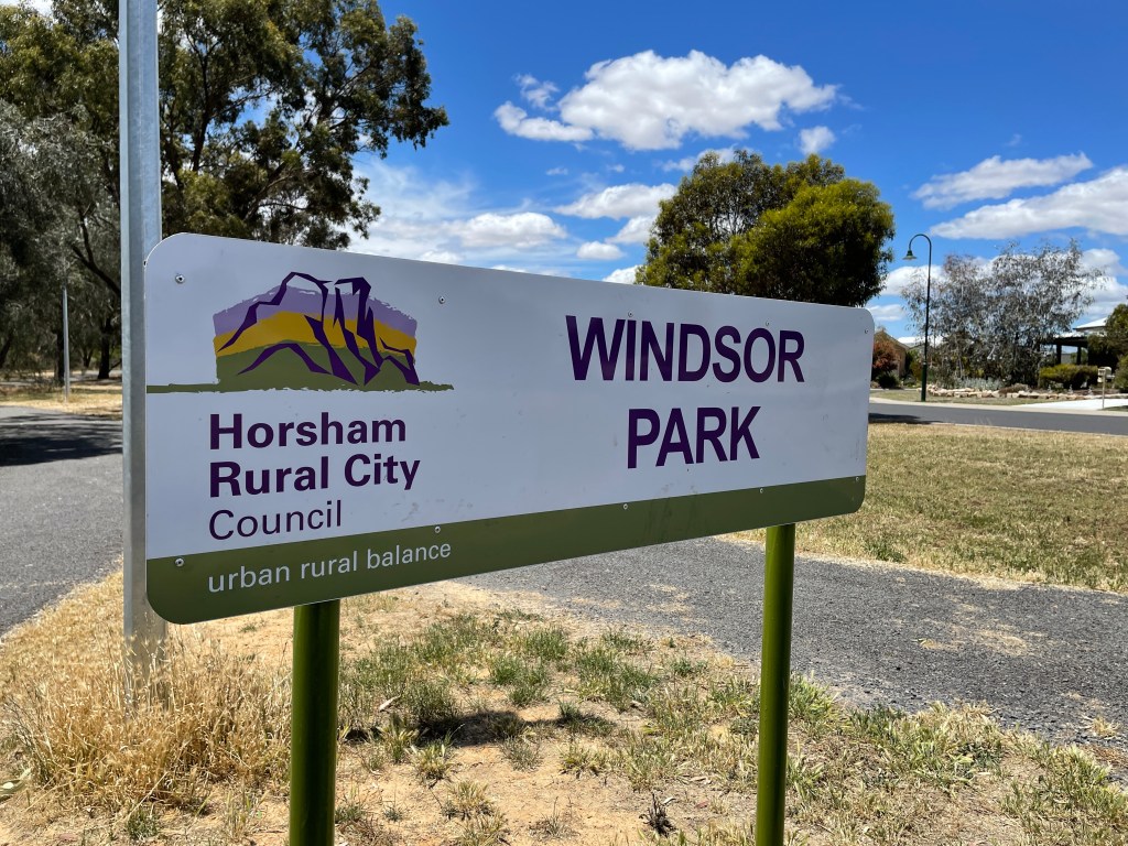
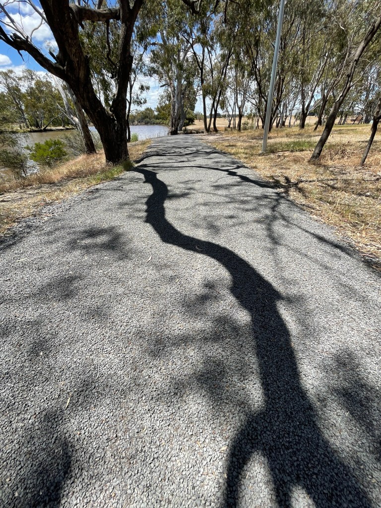
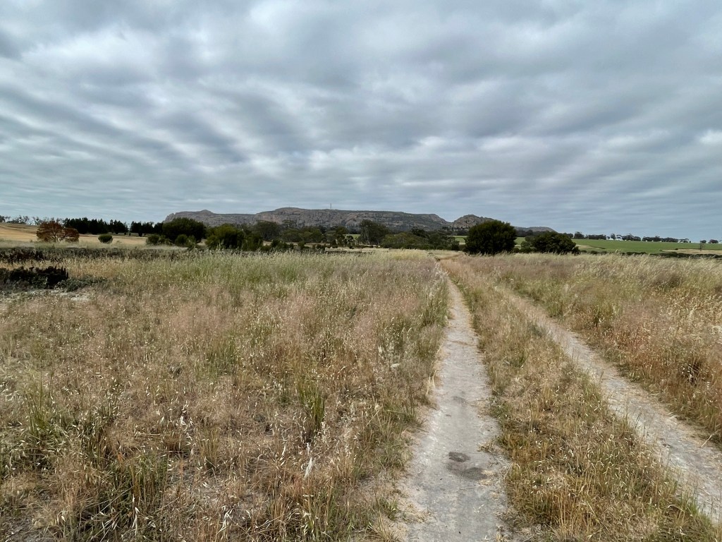
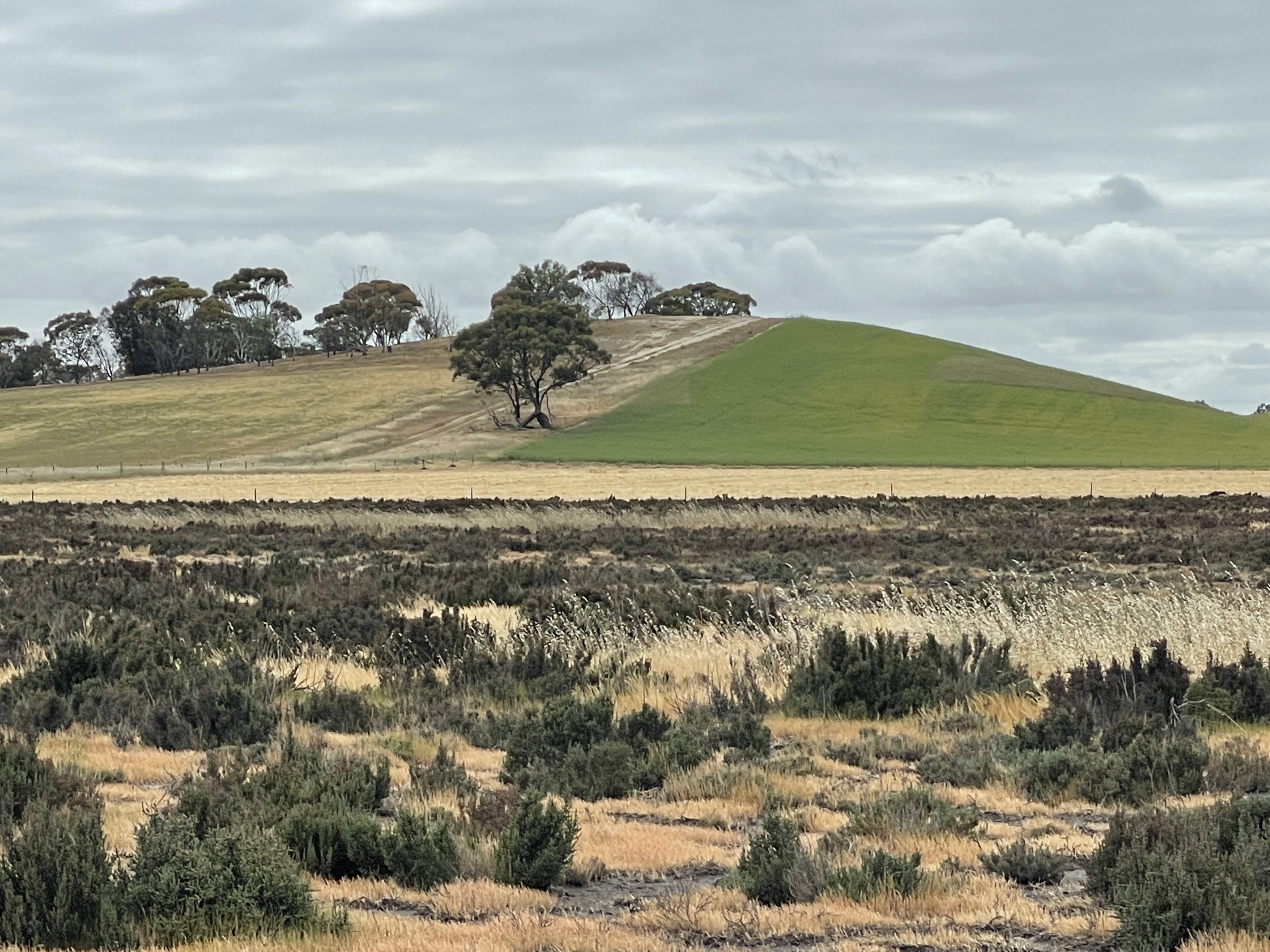
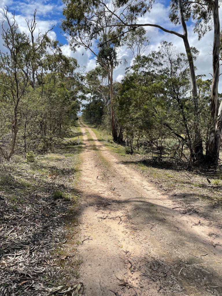
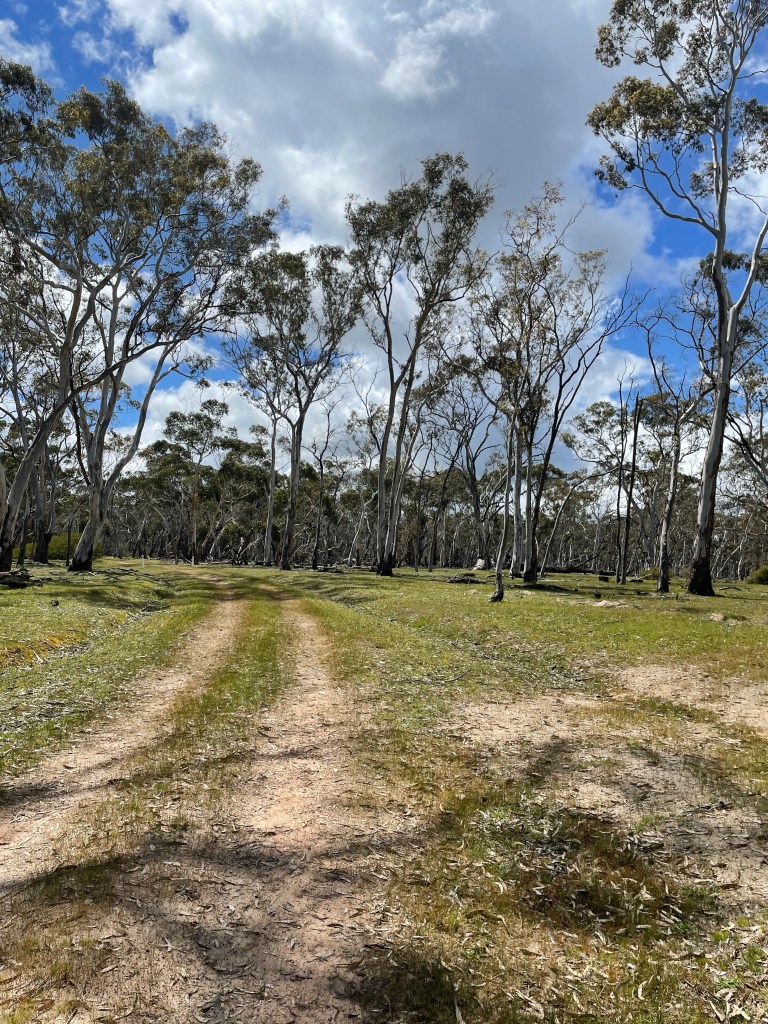
So, with the prospect of some photography and family history on the agenda I packed my swag for an over-nighter at Sea Lake.

Yes, it is not technically Wimmera, but a close cousin and almost within shouting distance.

Dating back to more than 33,000 years, Lake Tyrell – traditional name Direl – is home to the Boorong clan who were part of the Wergaia language group. Direl means water in language.

Traditional owners have identified spiritual, cultural, social and scientific values unique to Direl, a place where dreamtime was viewed and experienced in both the night sky and its reflections on the lake.

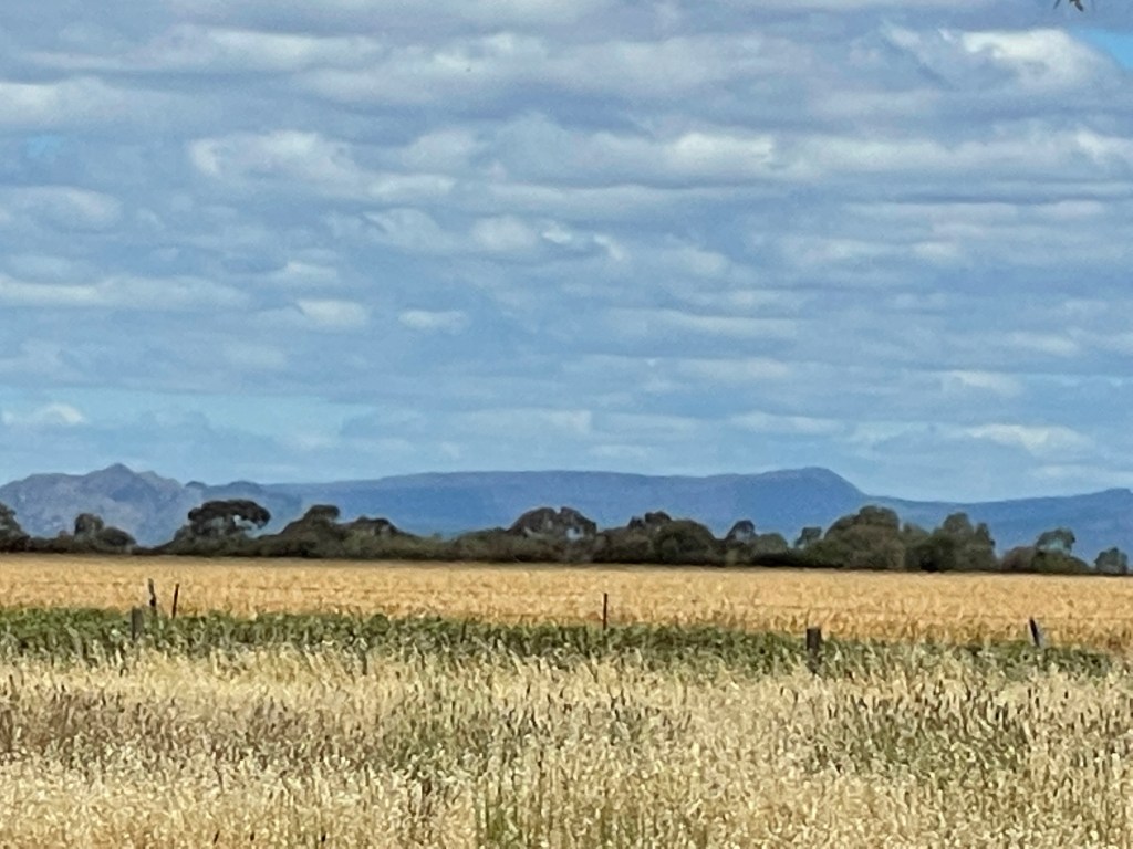
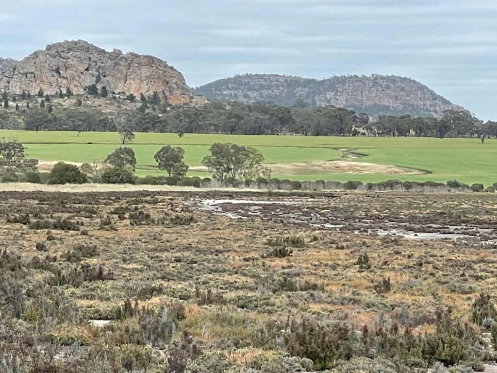
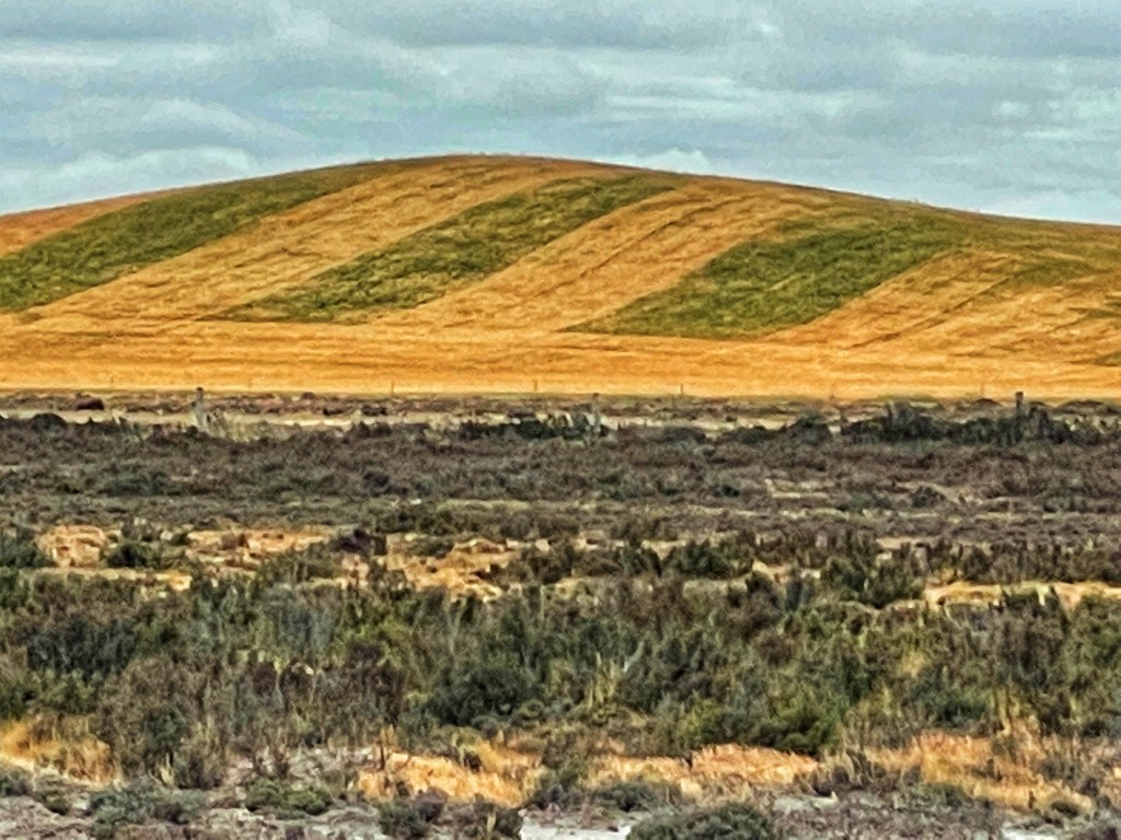
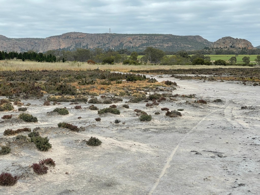
Covering just over 20,000ha Lake Tyrrell – Direl is Victoria’s largest inland saltwater lake. It got salty when sea levels rose about 2.5 million years. With levels 65m higher than they are now, parts of SA, NSW and Victoria, including Sea Lake, were submerged all those years ago.

Today it is mostly fed by groundwater, with some inflows from Tyrrell Creek. The salt is harvested by Cheetham Salt Works, but the lake is also rich in gypsum, alunite and Jarosite, as well as other iron-oxides.

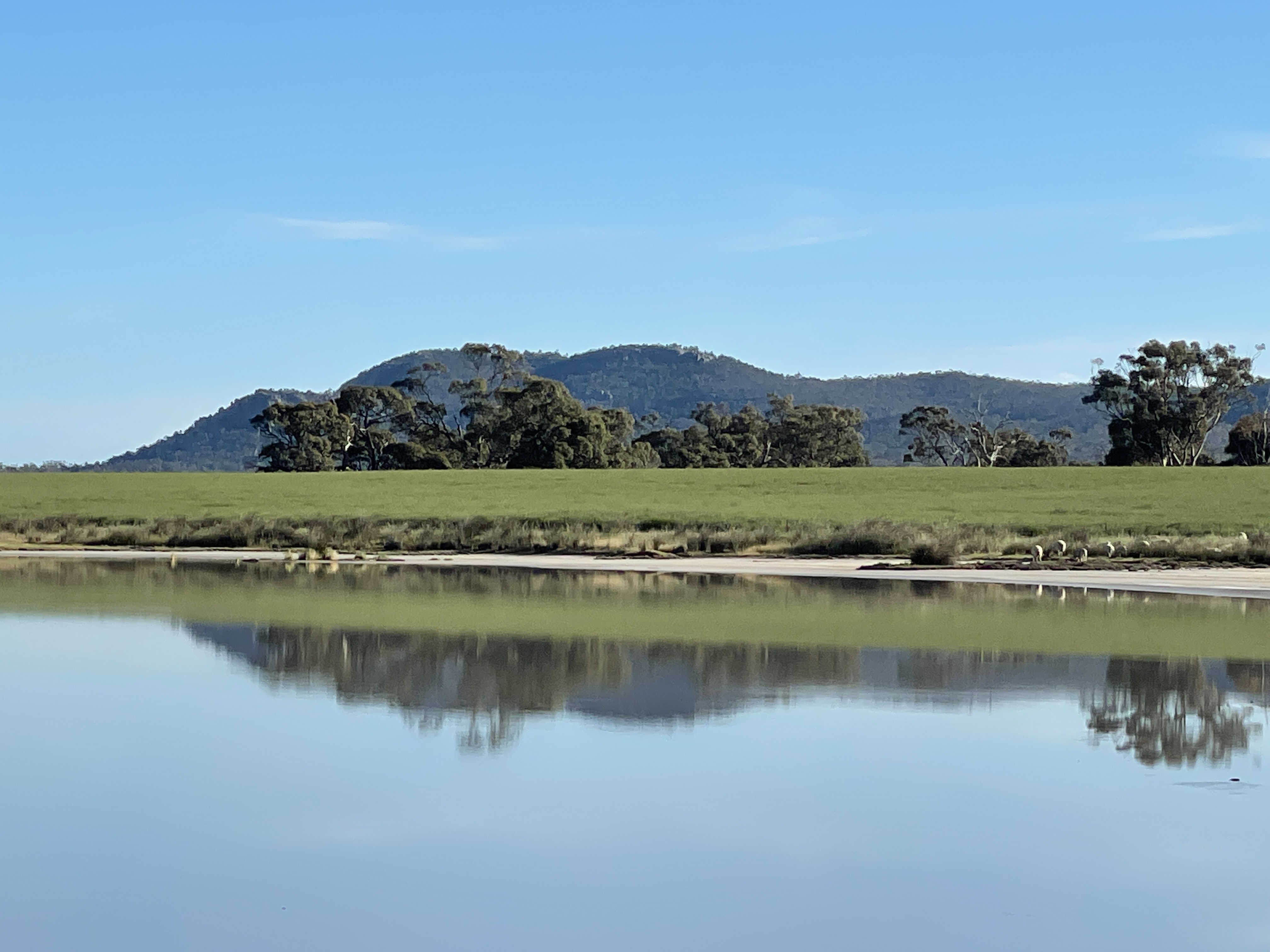
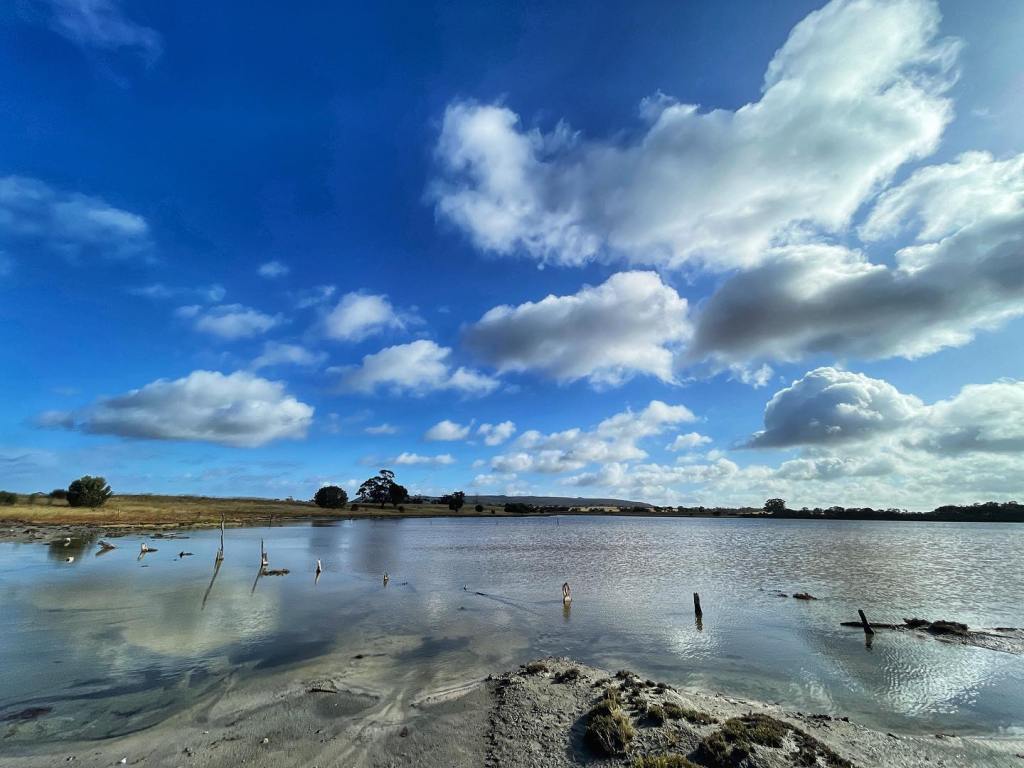
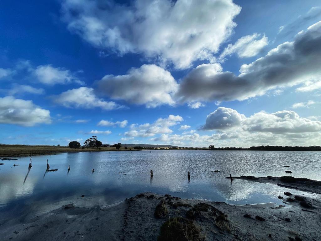
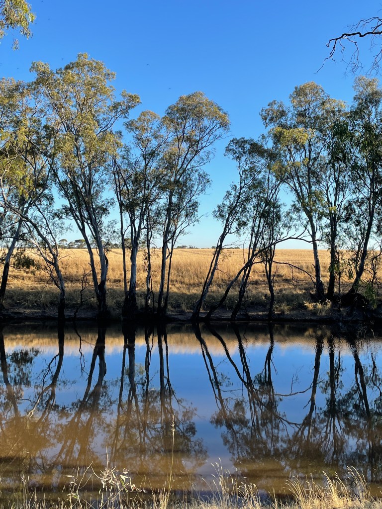
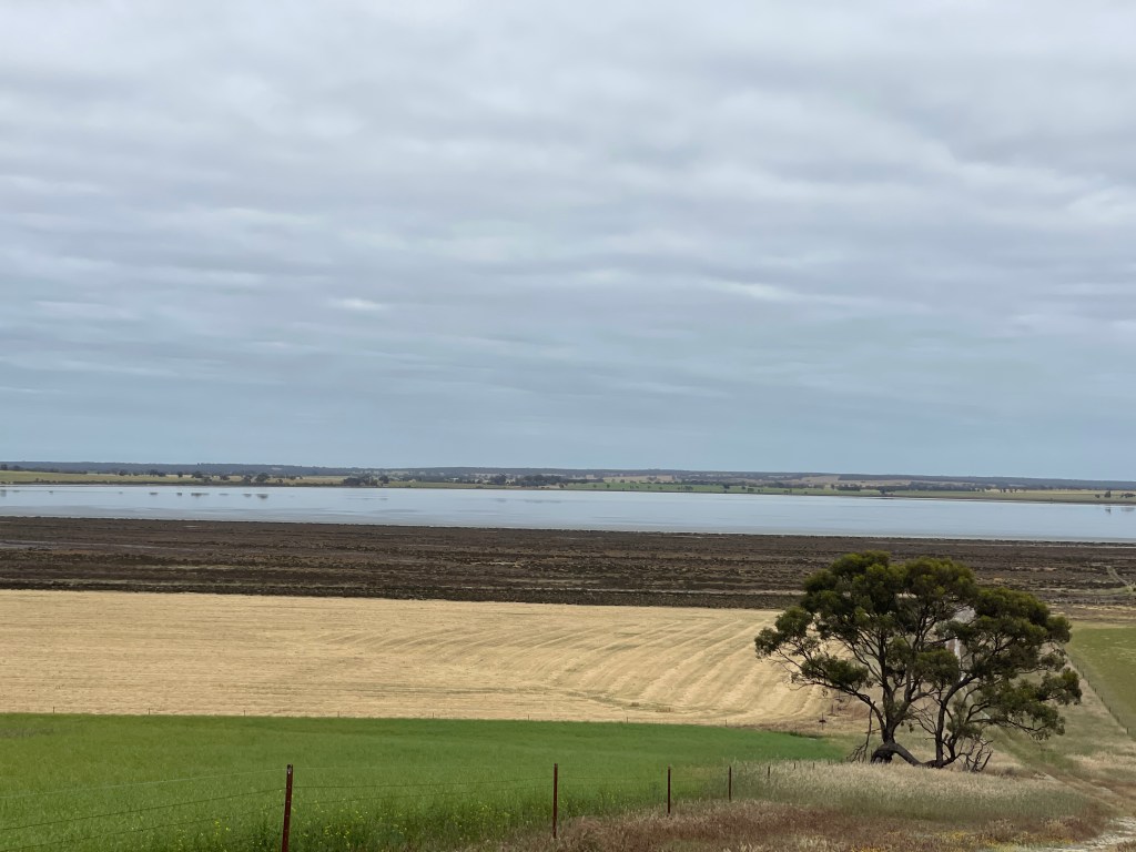
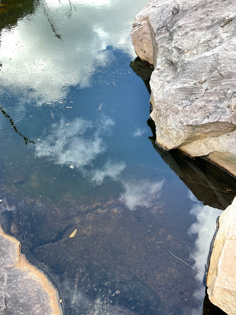
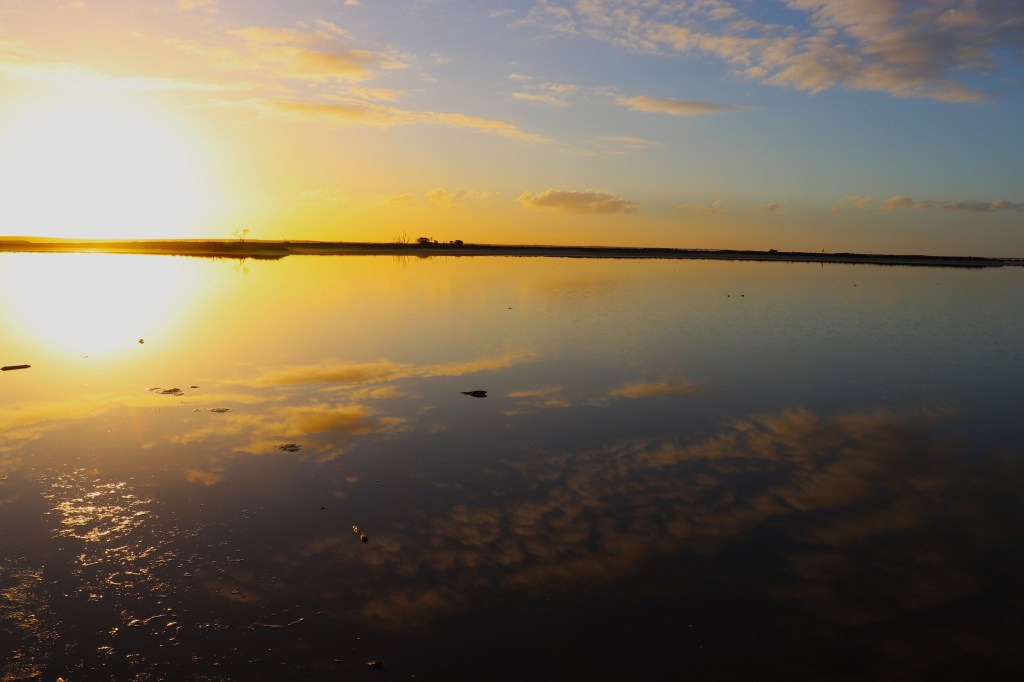
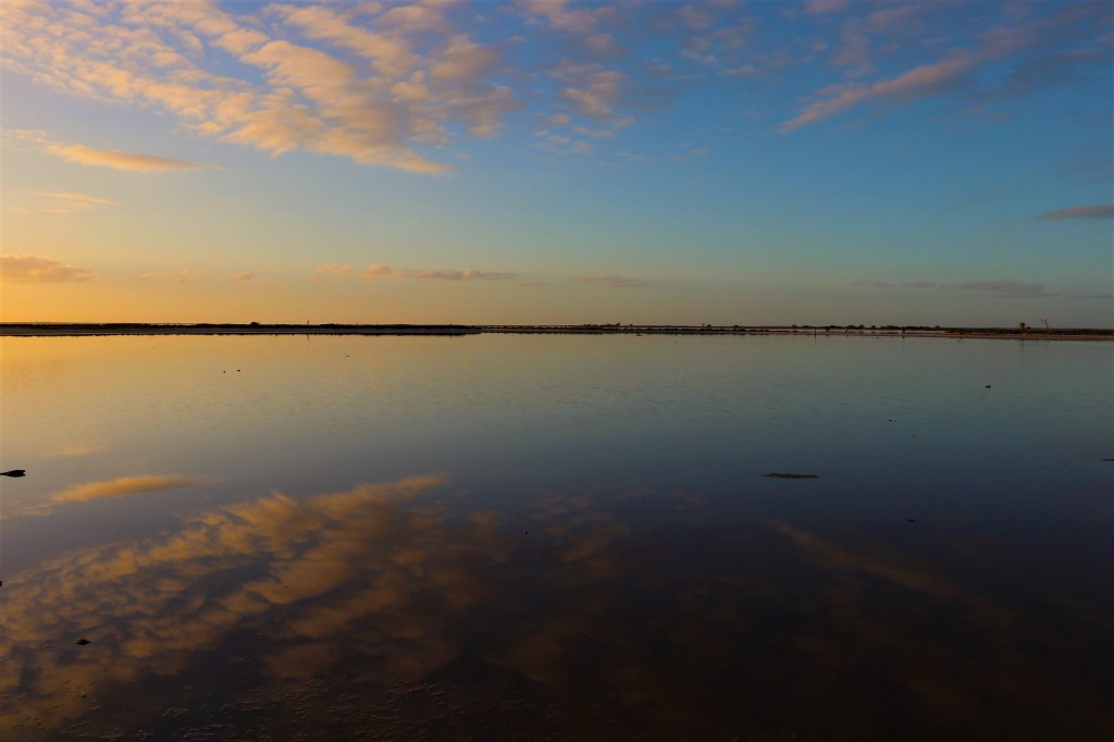
Recently, Lake Tyrrell – Direl, became popular with international and domestic tourists keen to catch its mirror-like reflections of the sky on its shallow water.

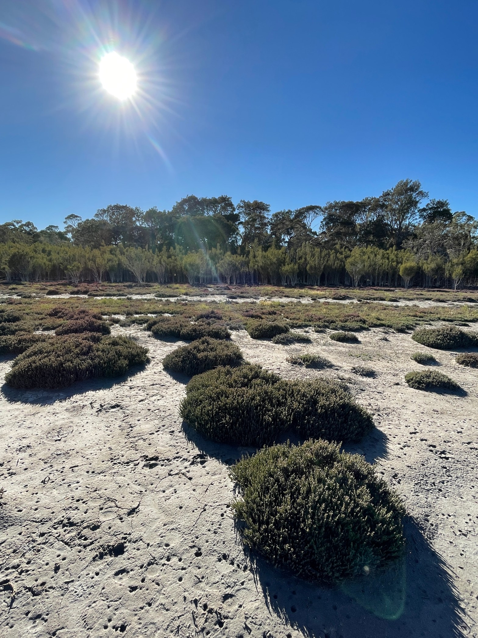
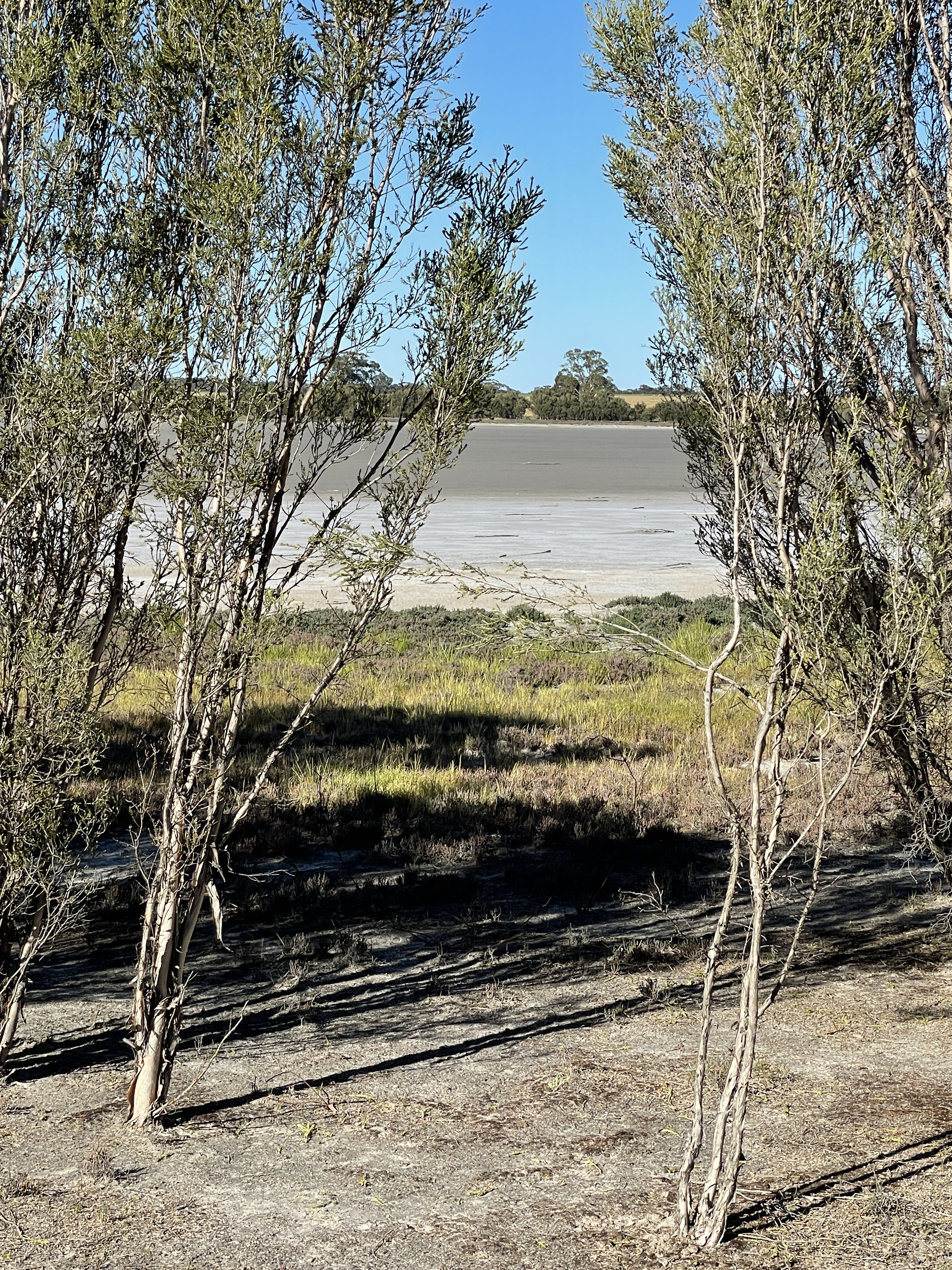
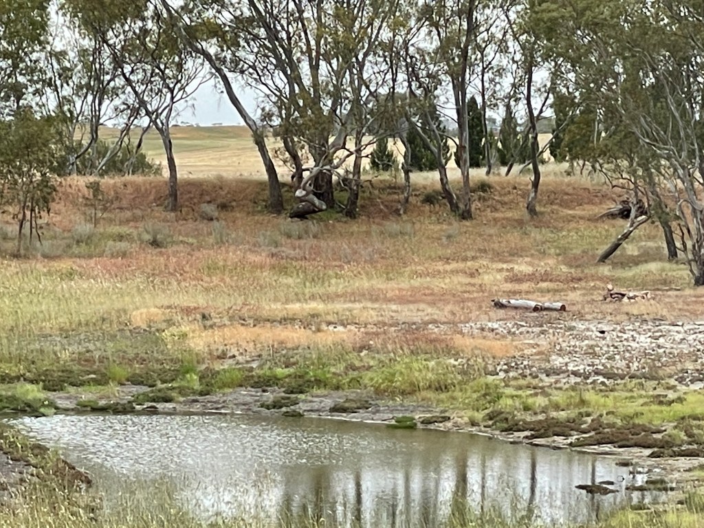
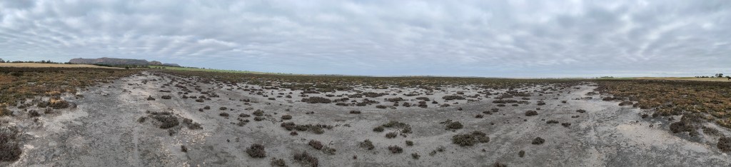
I visit in summer when it is virtually bone dry and reflections few and far between.

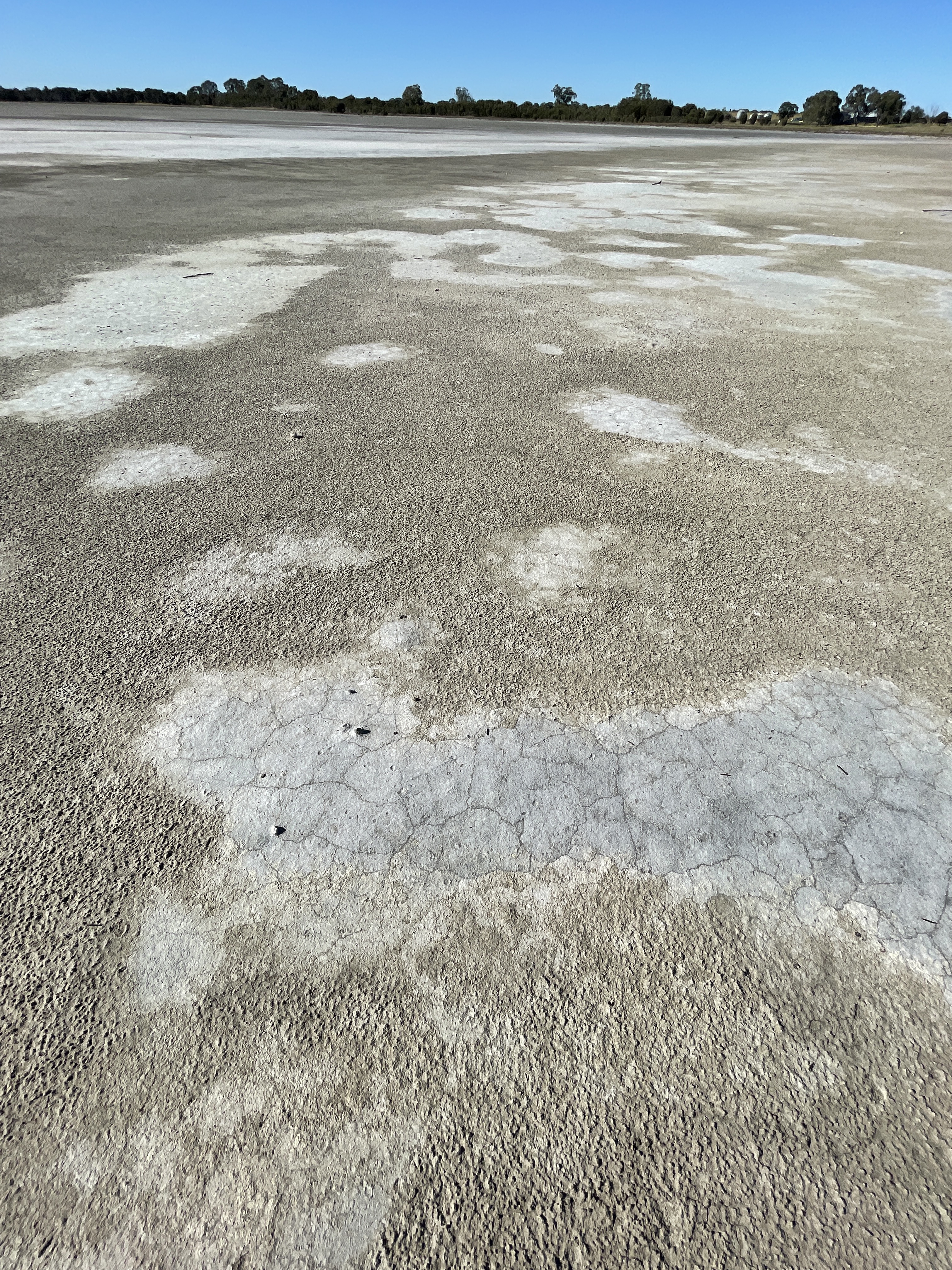
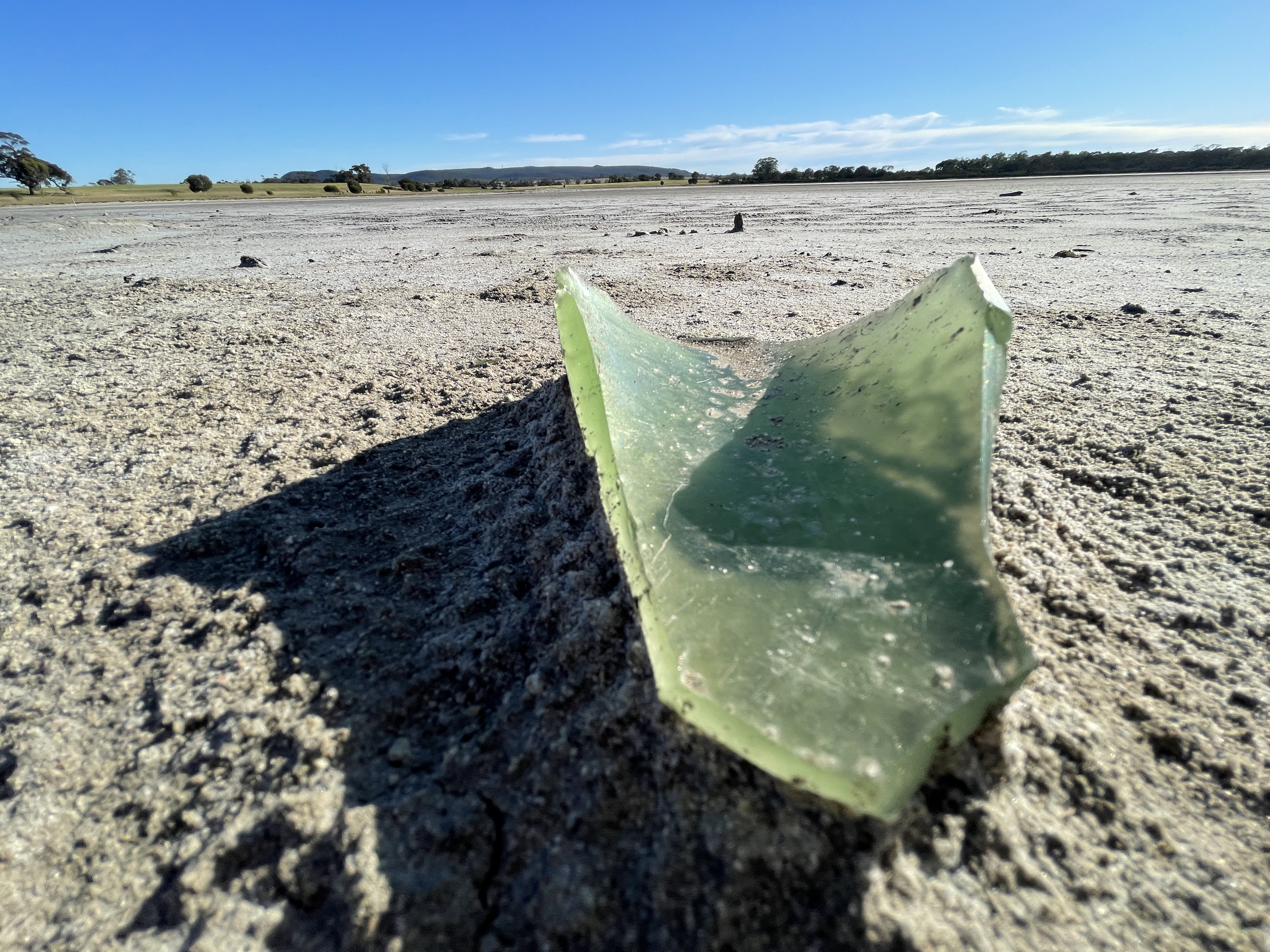
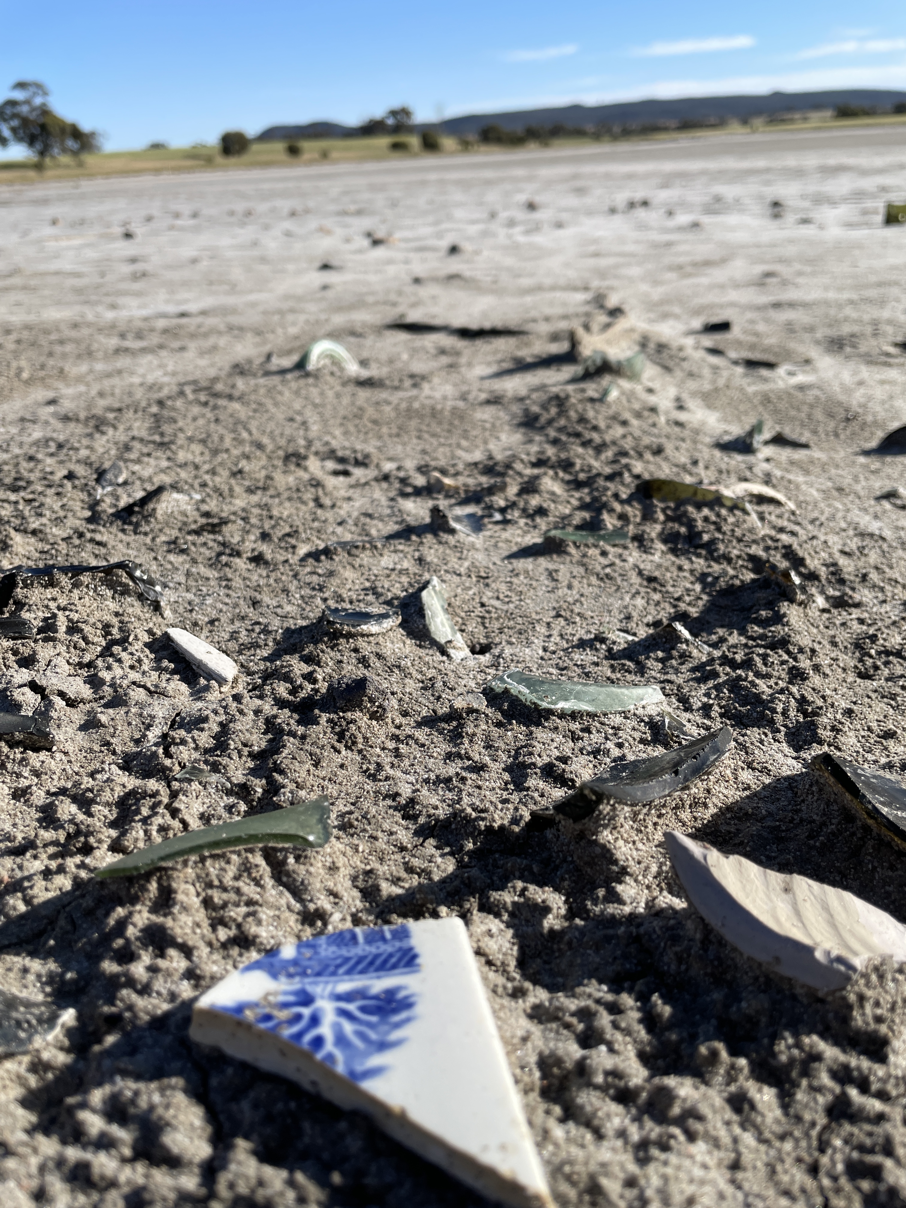
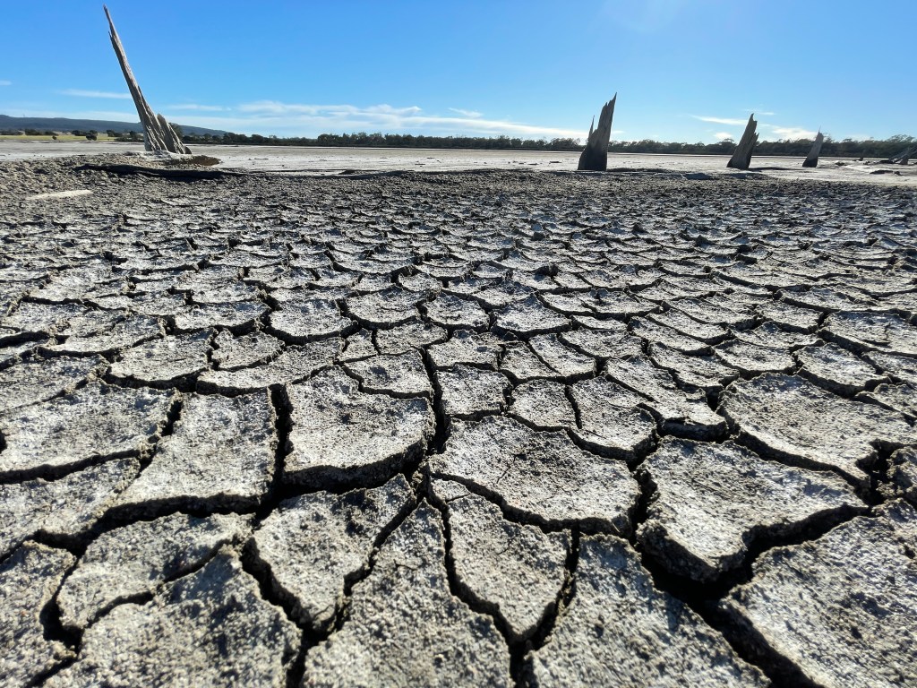
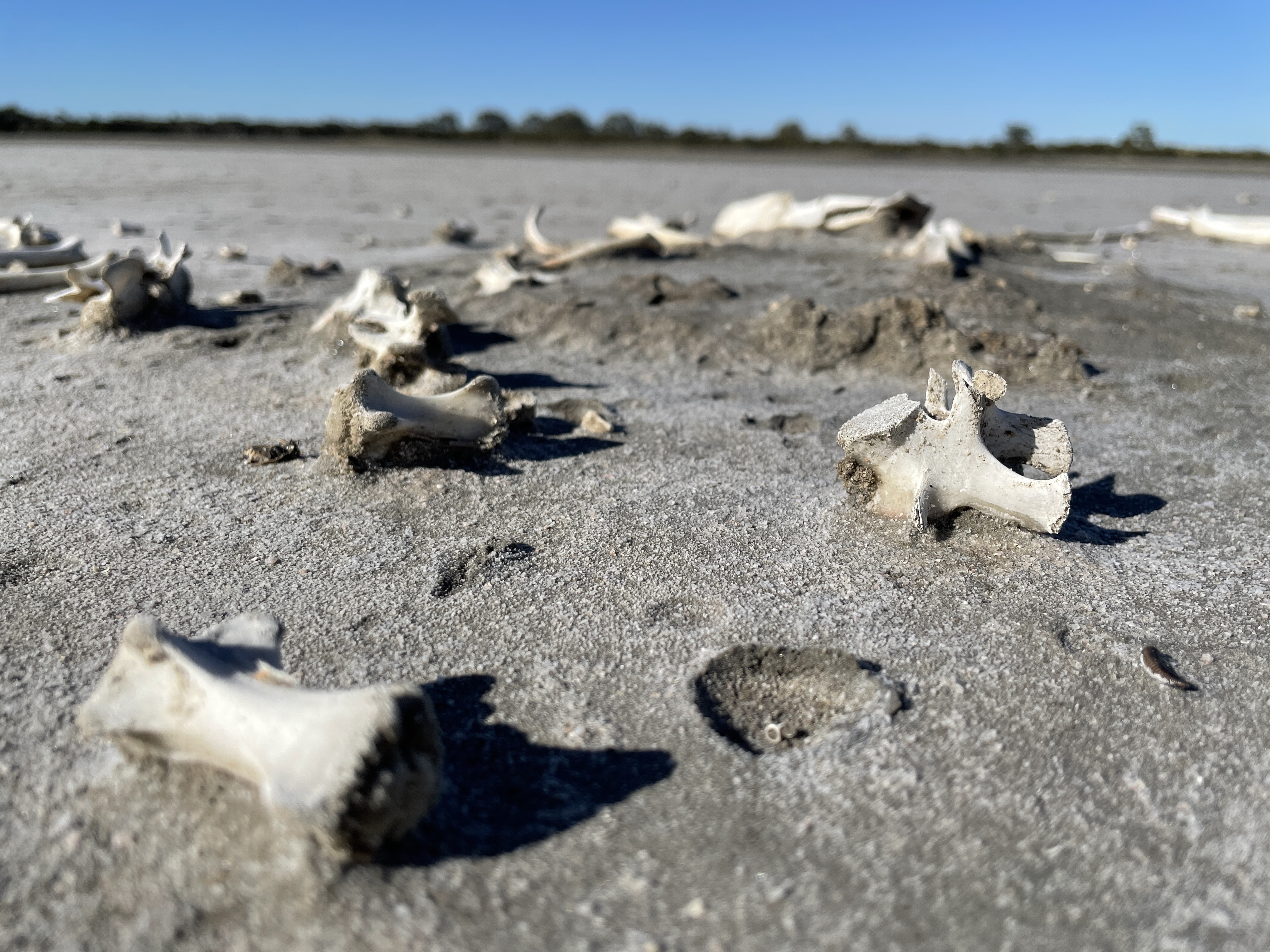
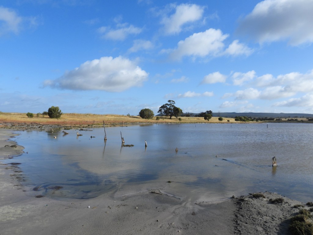
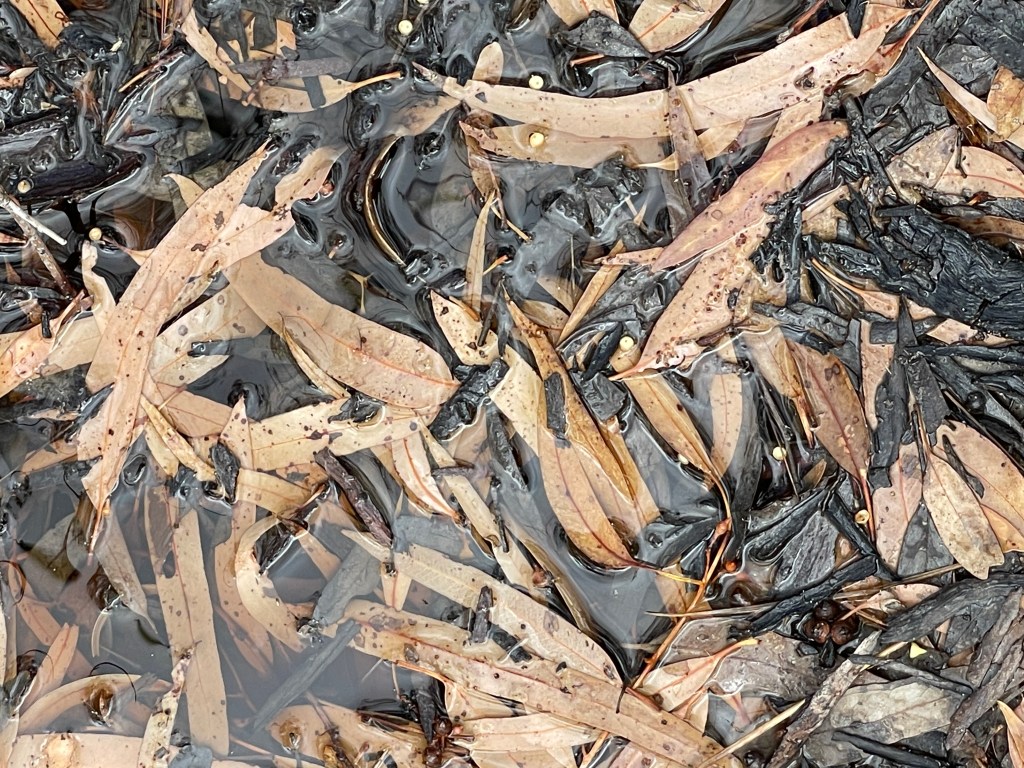
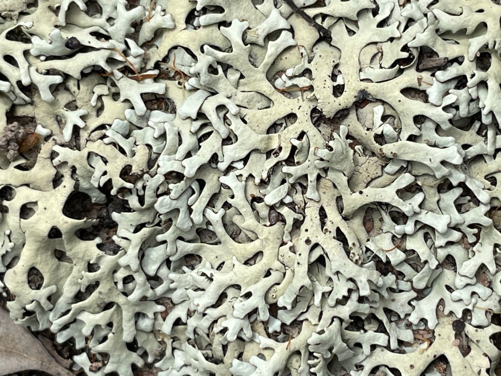
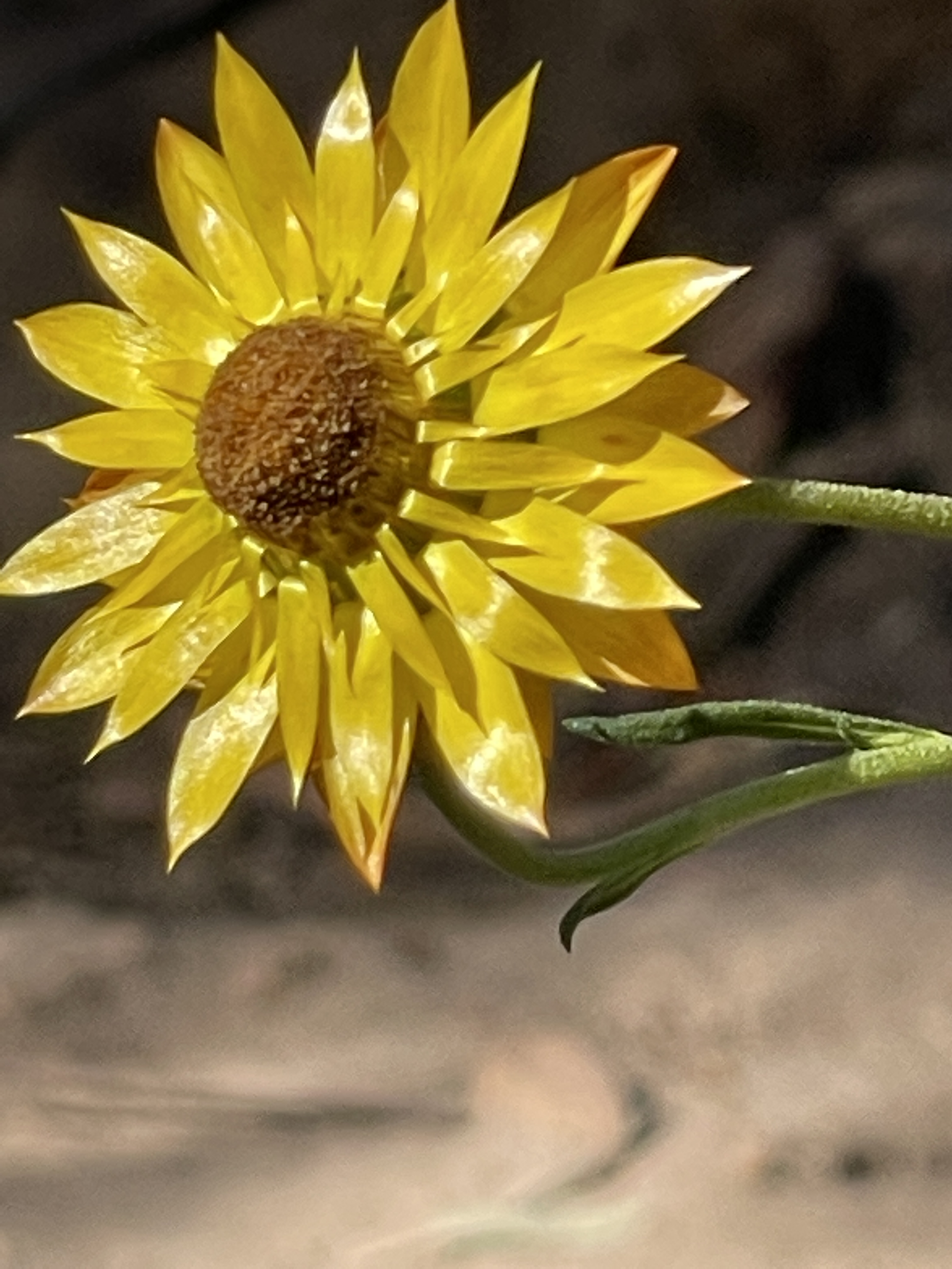
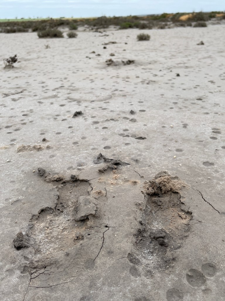
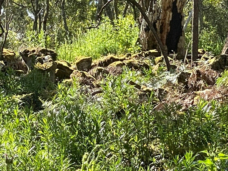
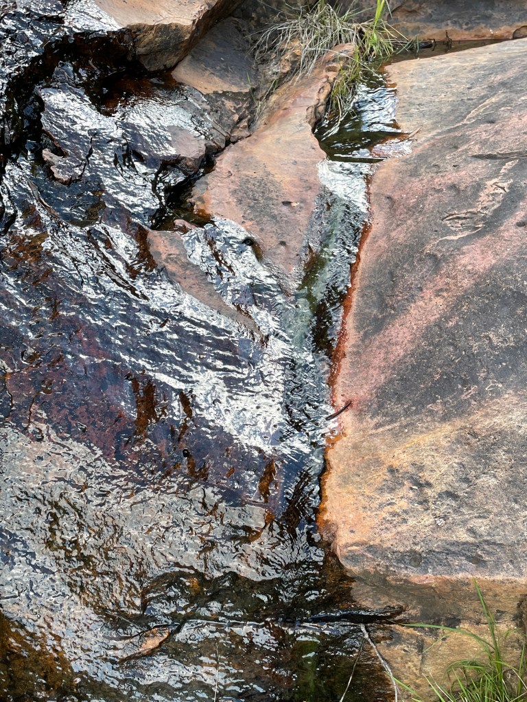
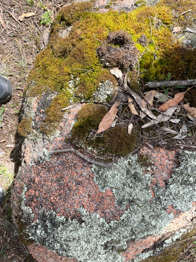
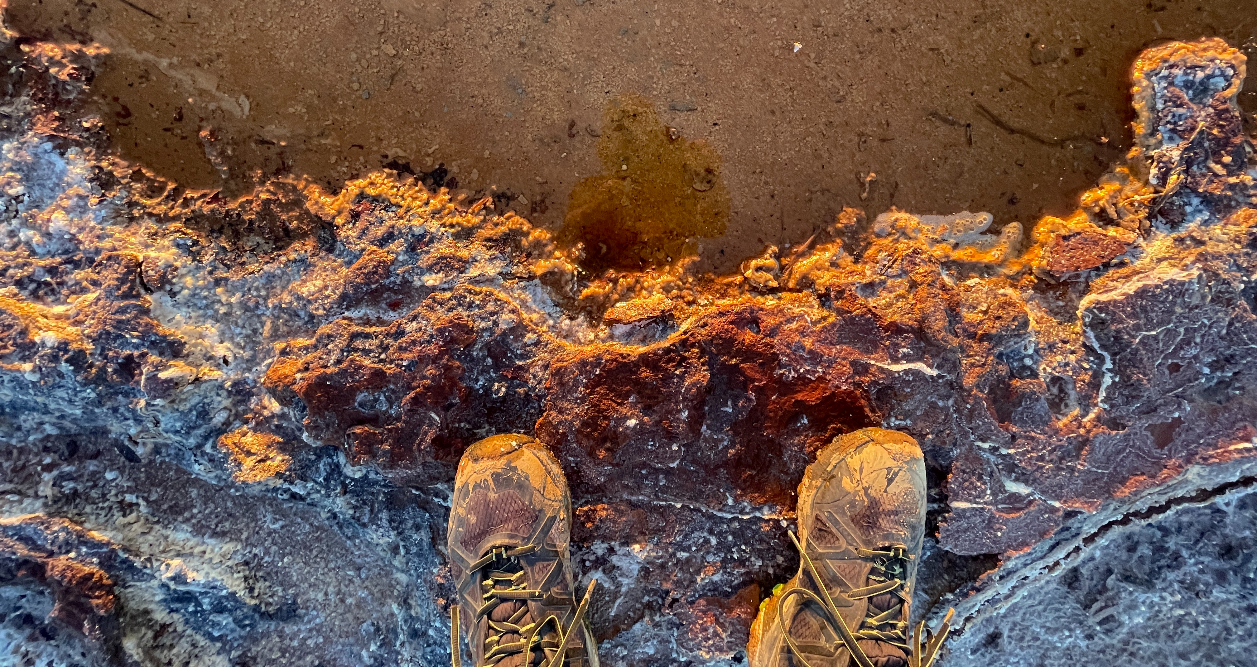
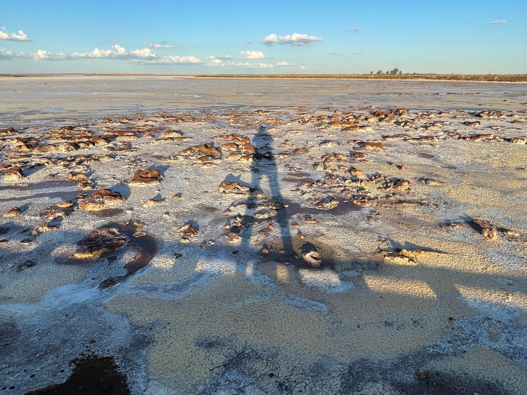
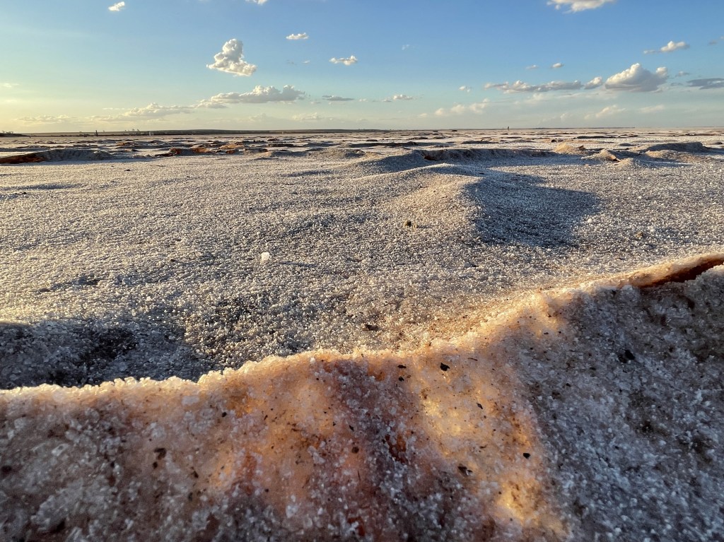
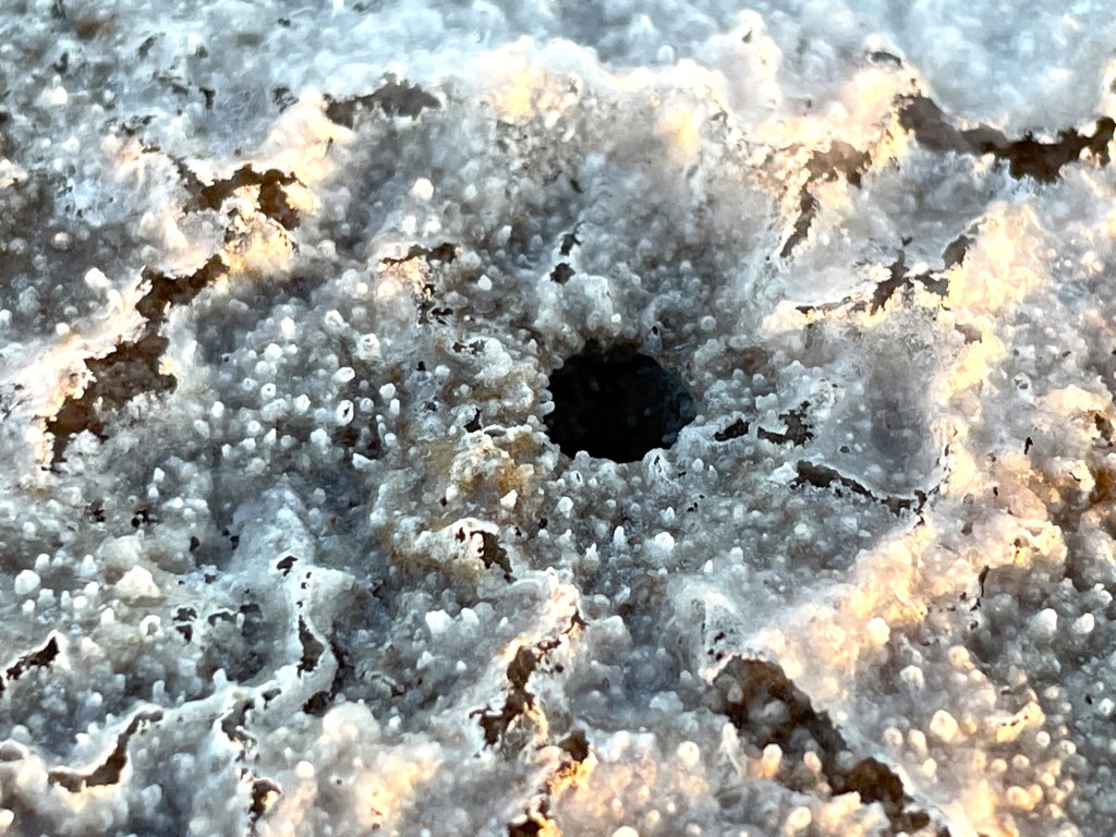
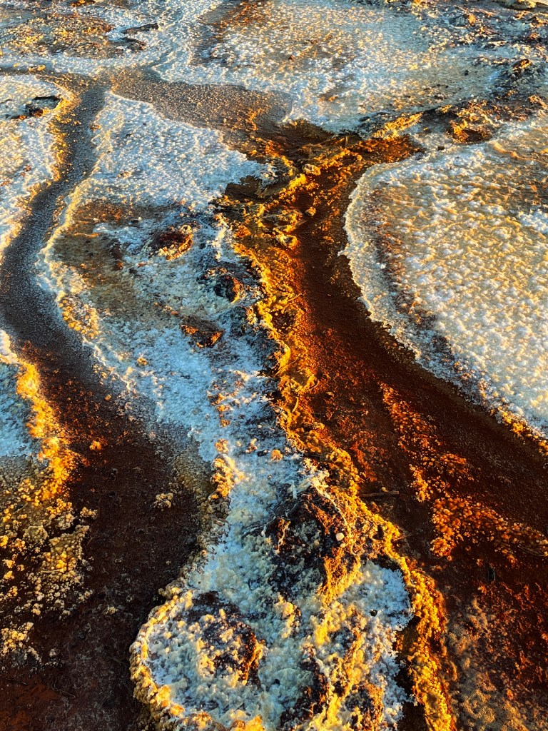
Even without water there are plenty of multi-coloured, textured patterns made from salt and other minerals left after the water evaporates

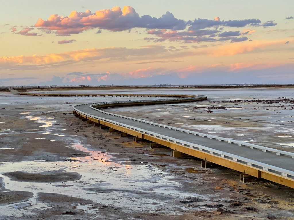
I head out to the viewing platform and walk along the boardwalk. A sign tells me it is 8-10 times saltier than the sea. No wonder Great Great Great Uncle Richard’s successors decided to come here to source their salt.

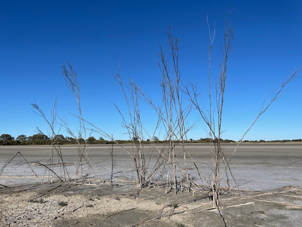
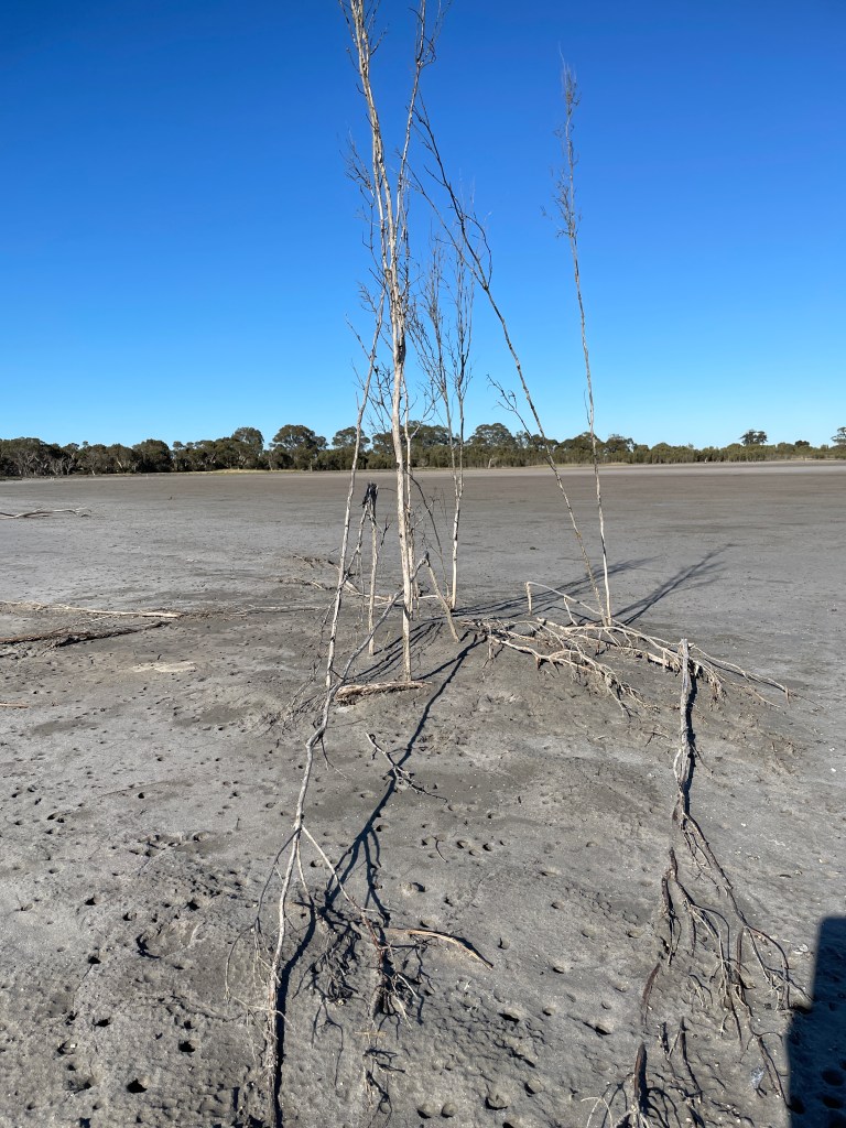
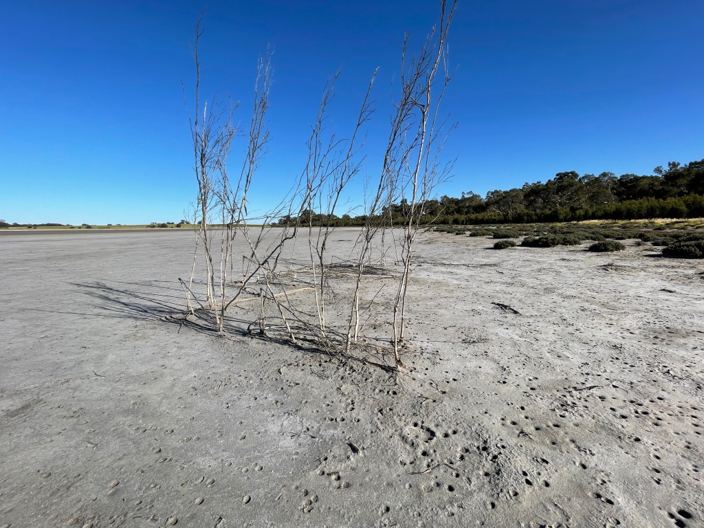
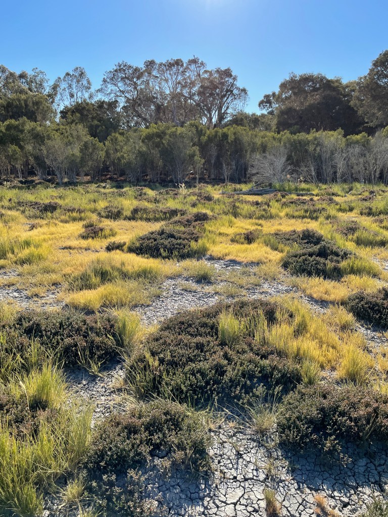
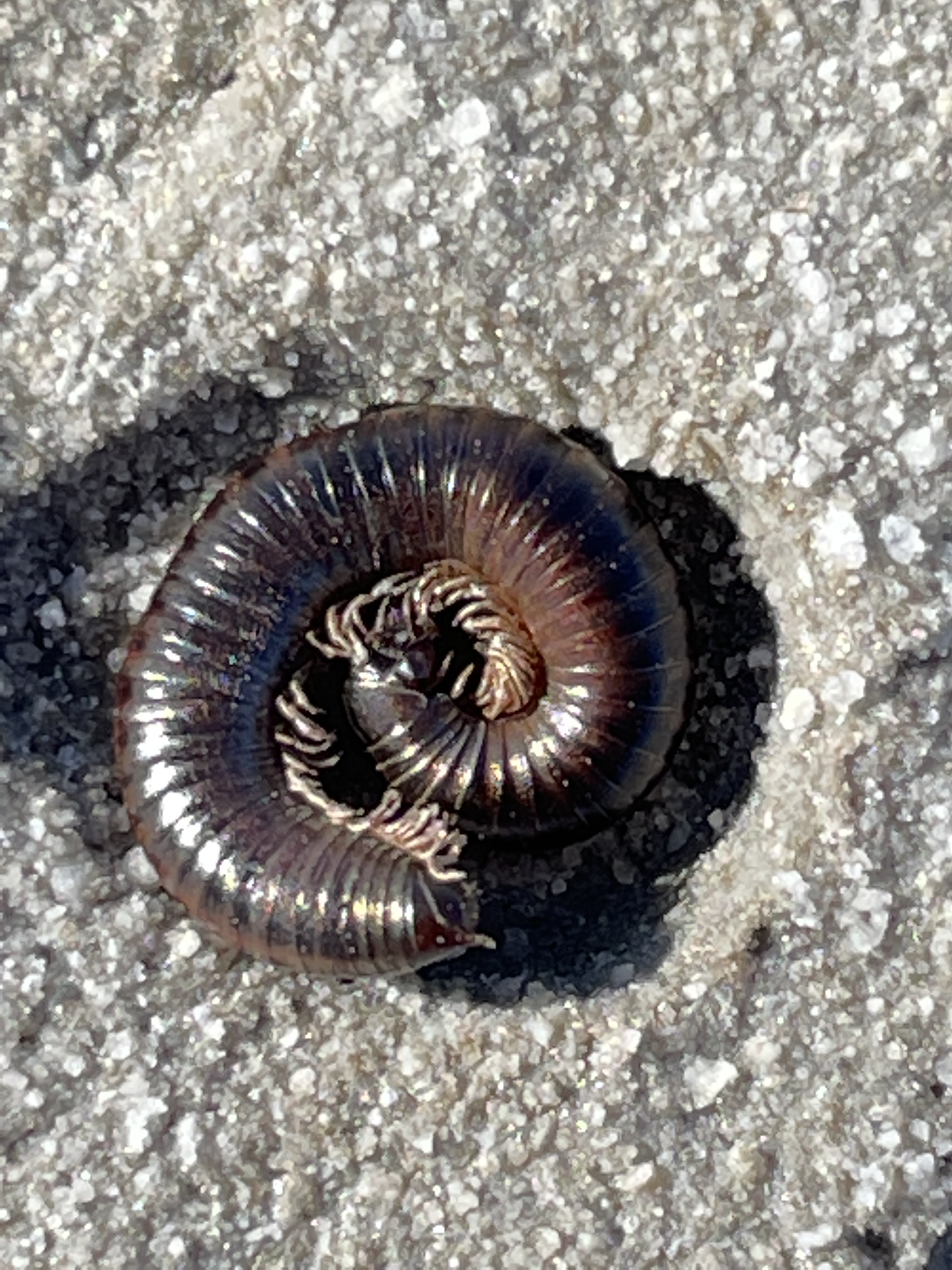
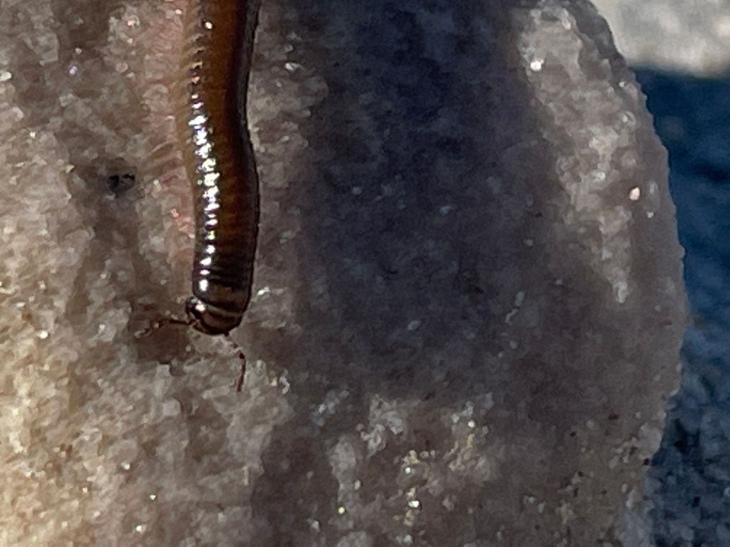
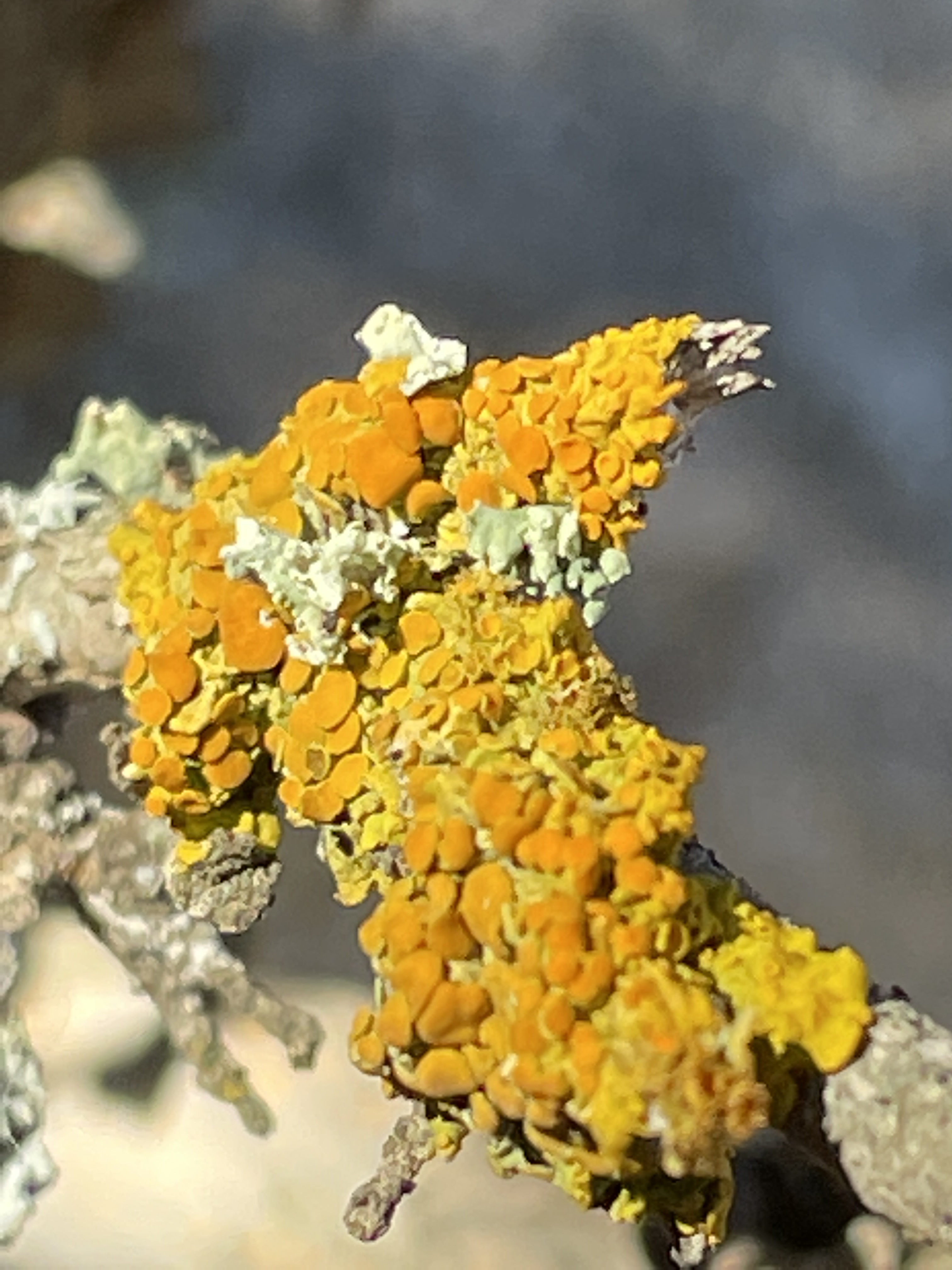
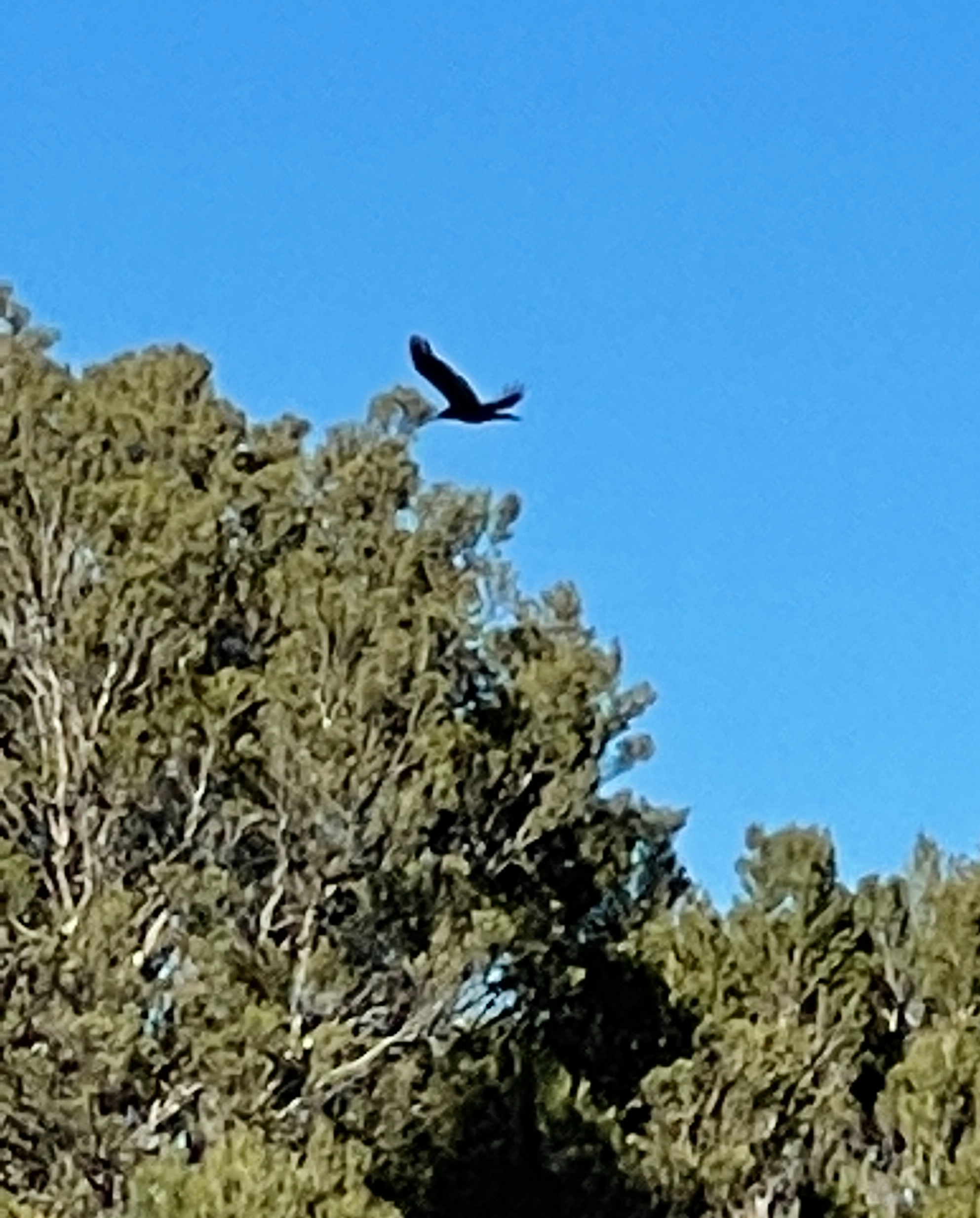
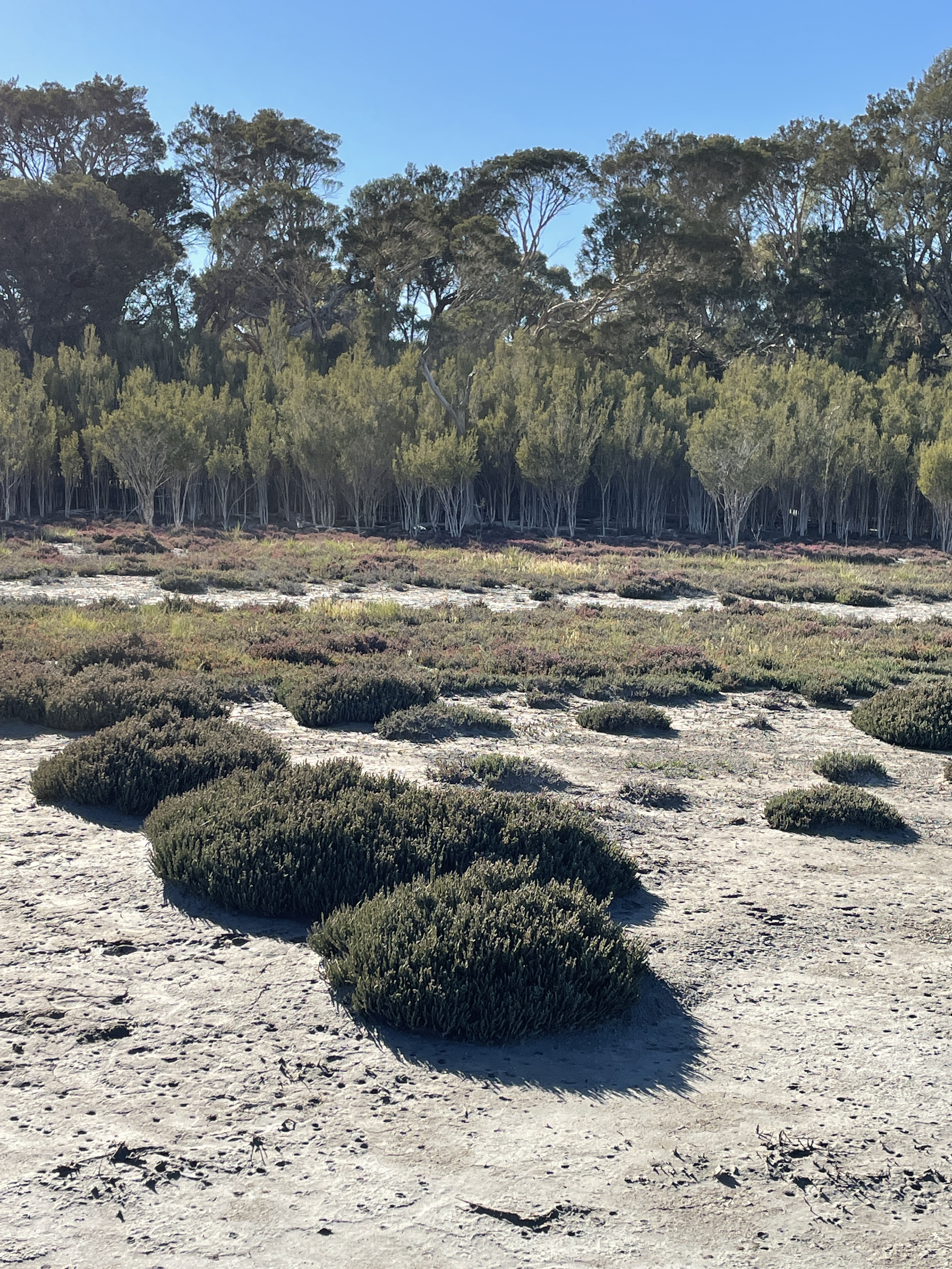
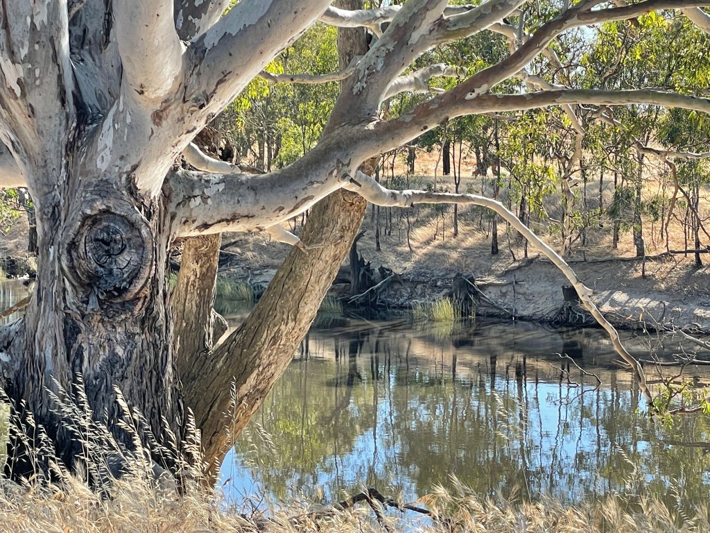
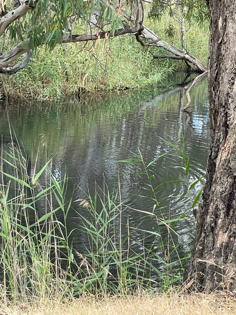
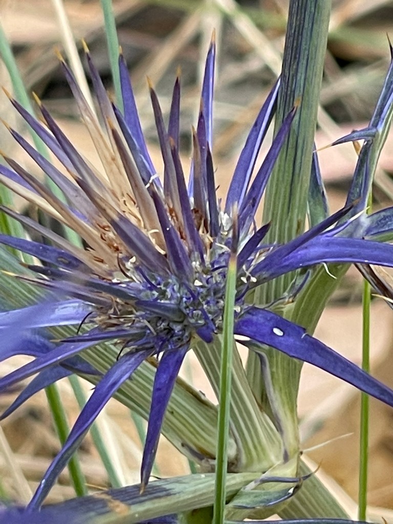
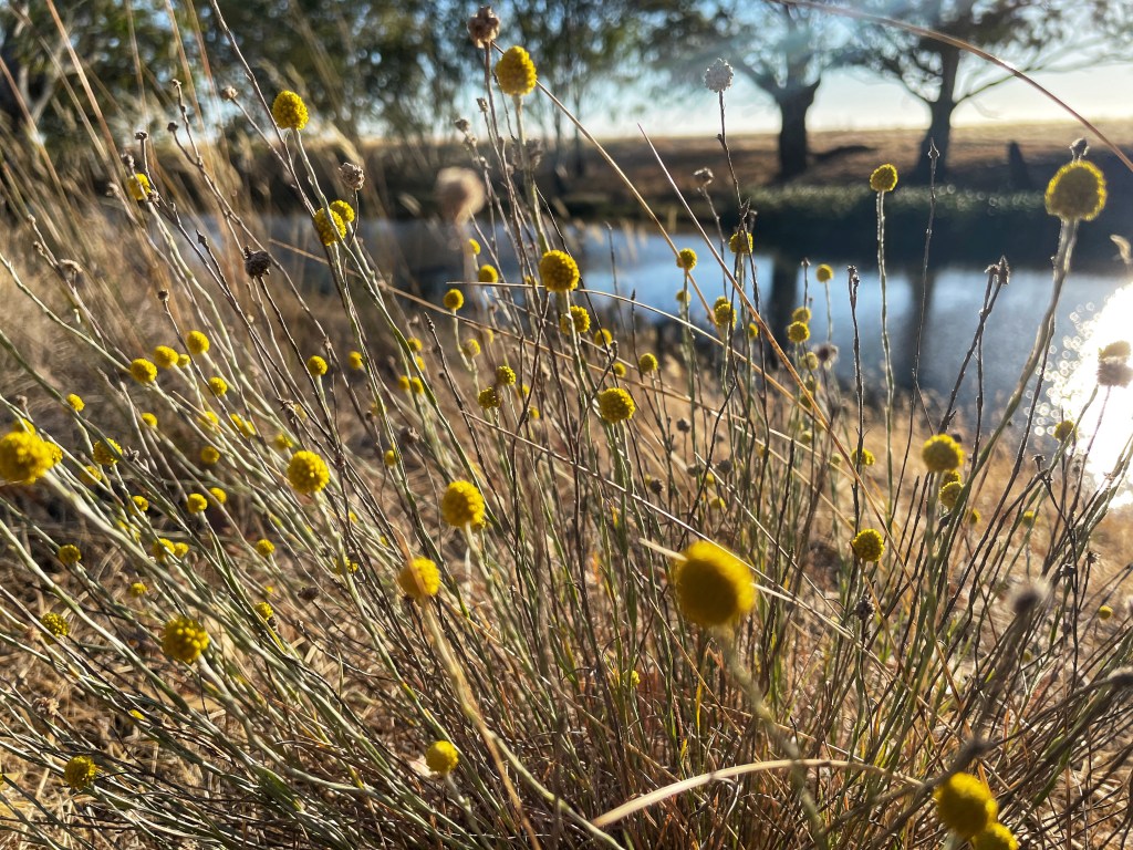
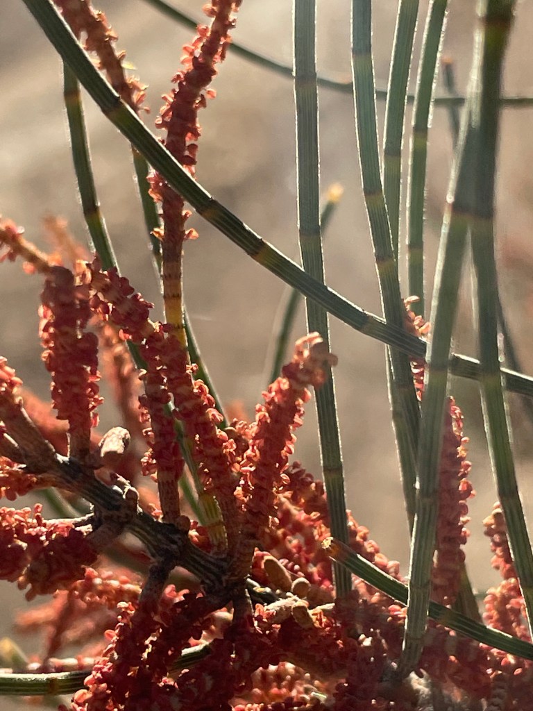
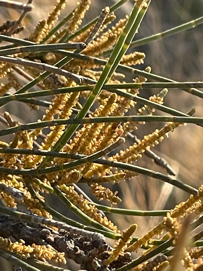
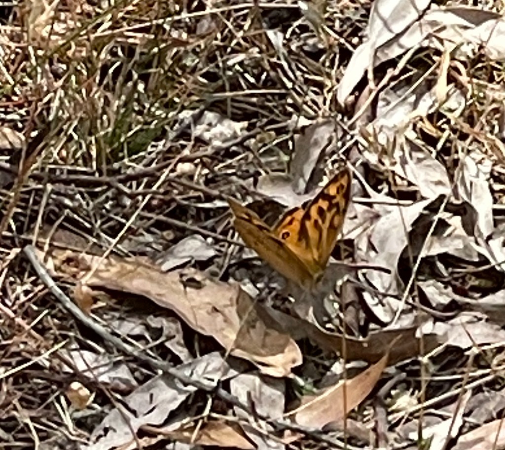
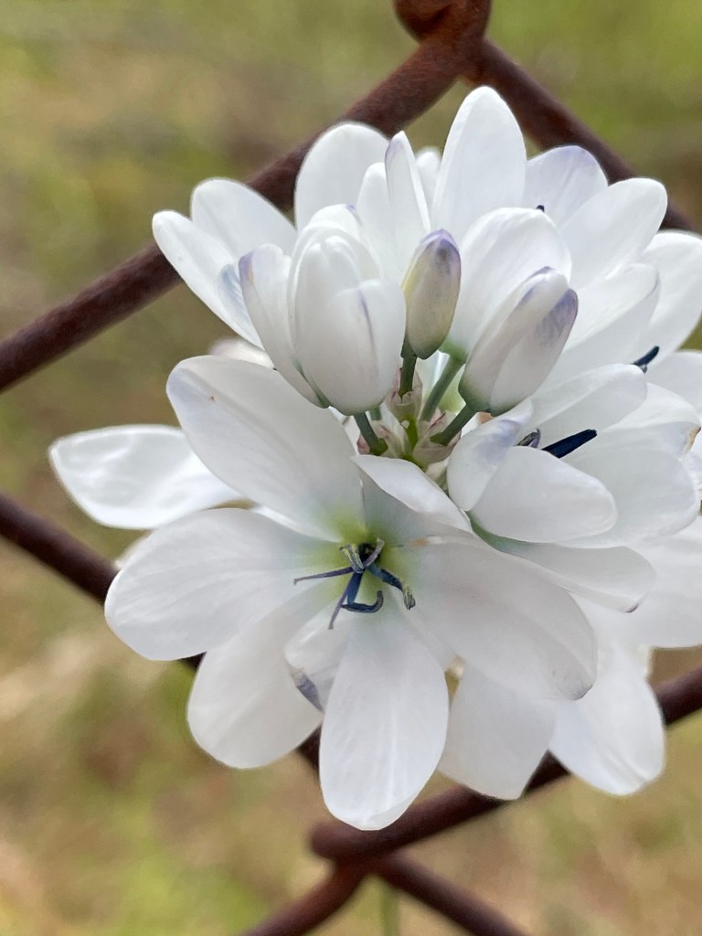
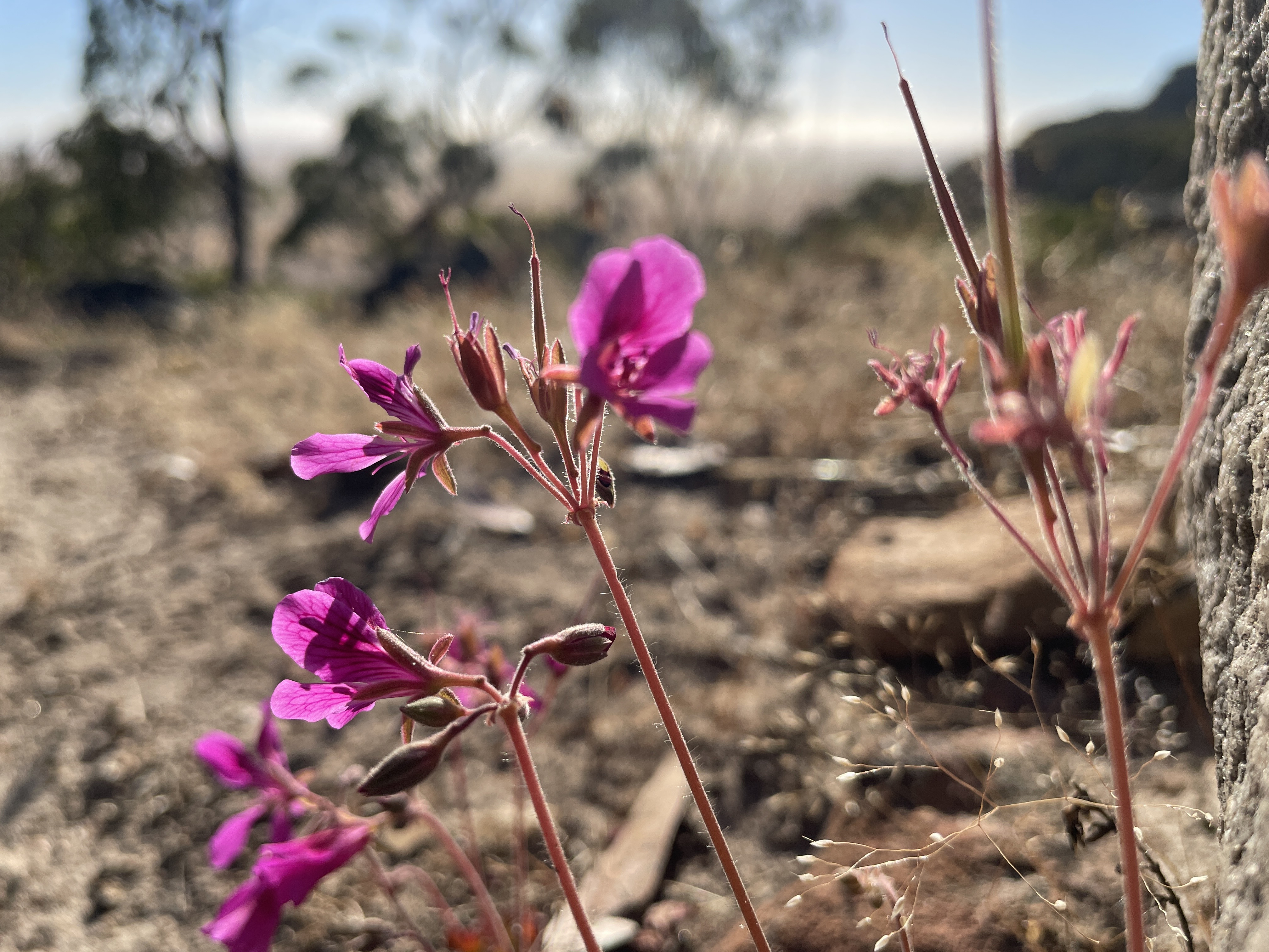
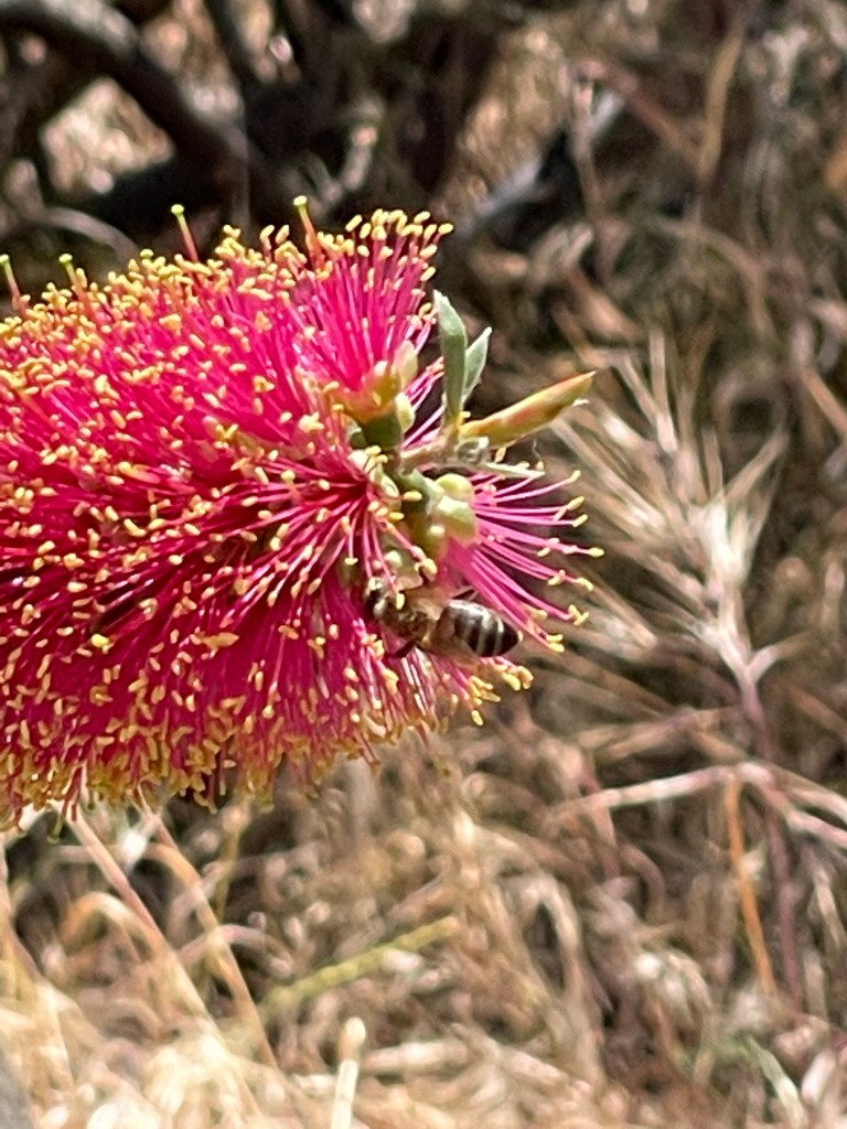
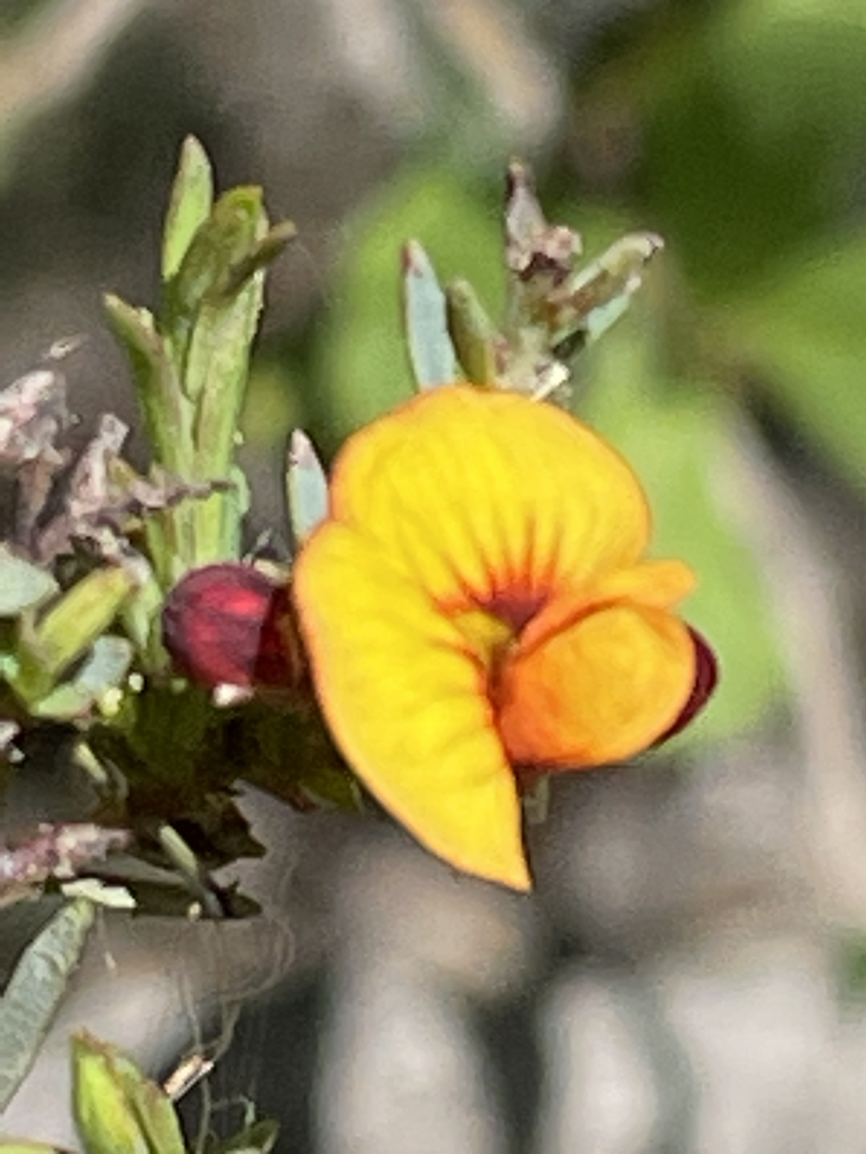
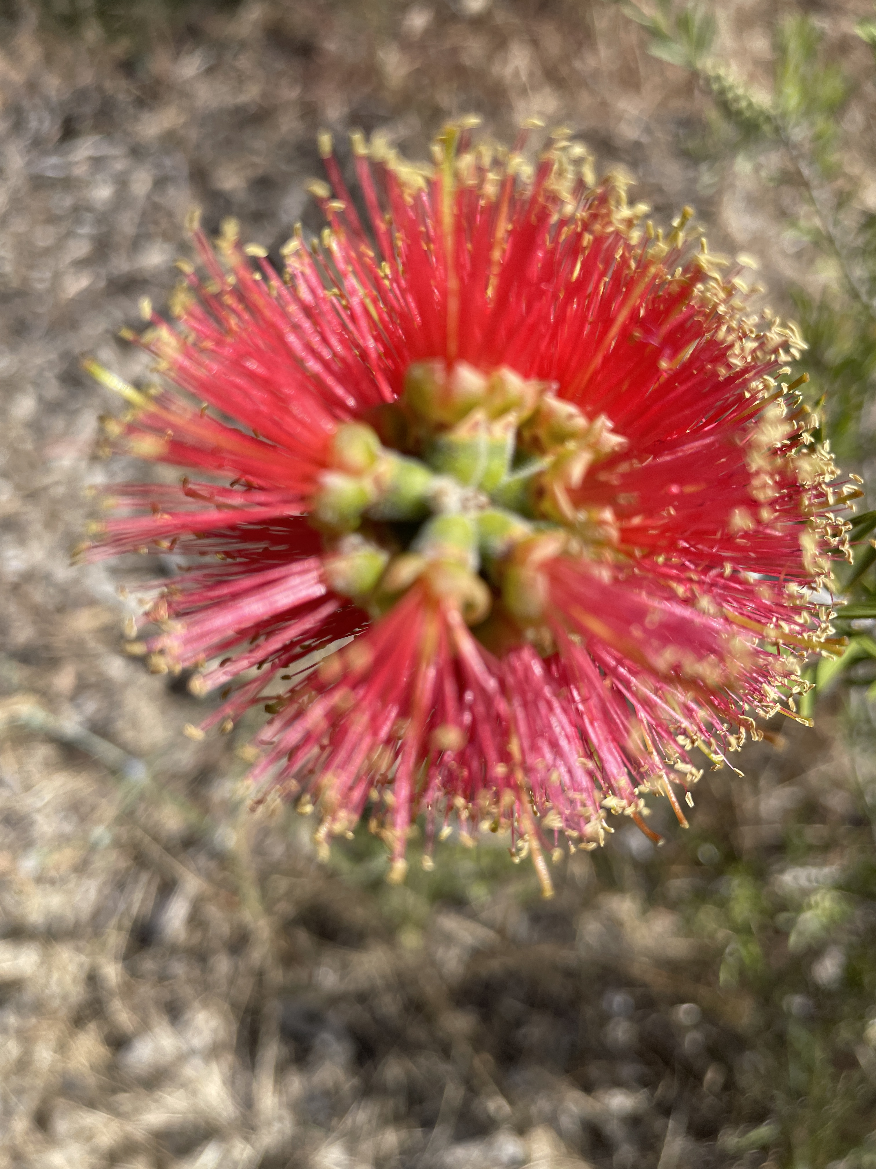
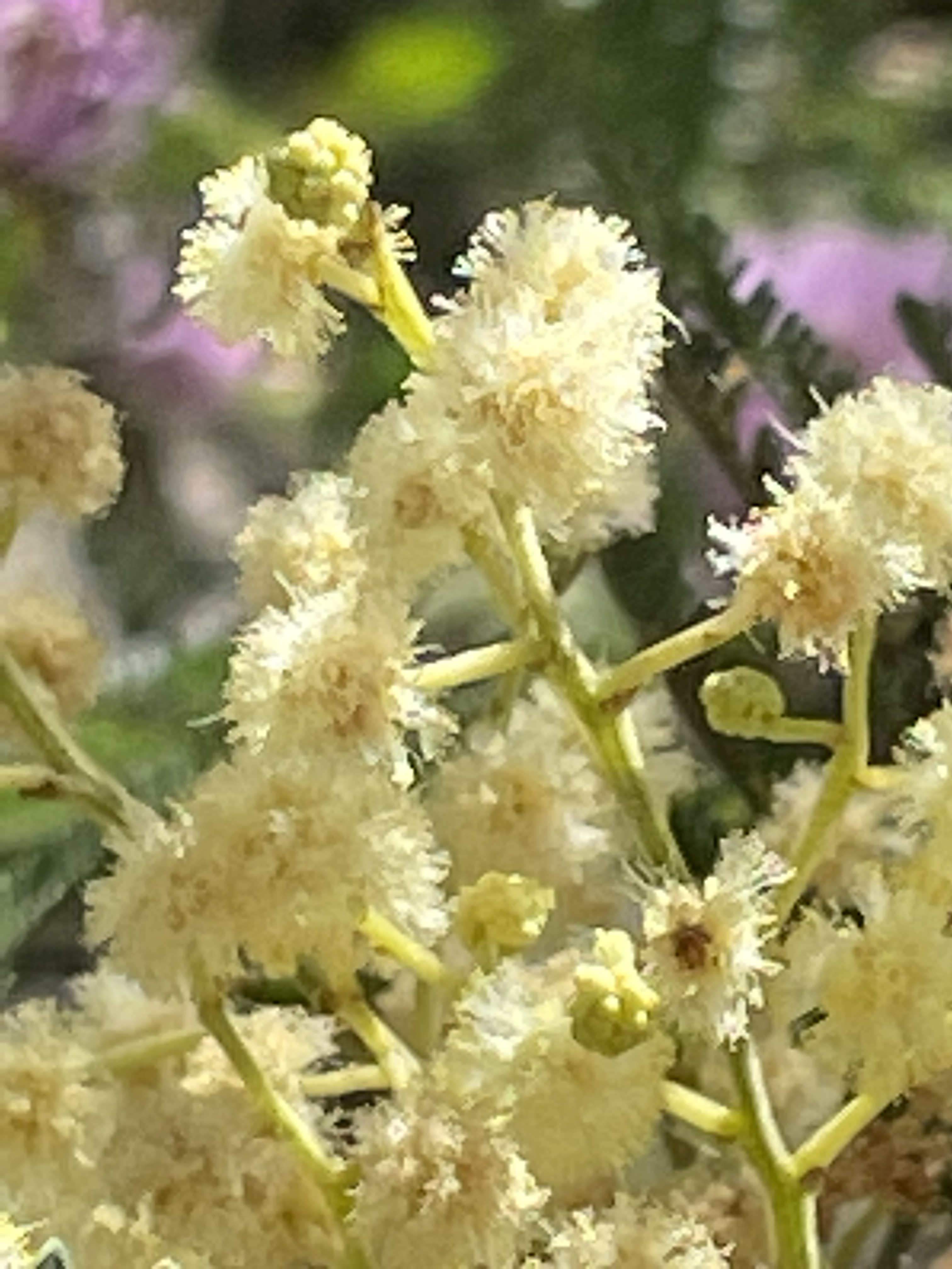
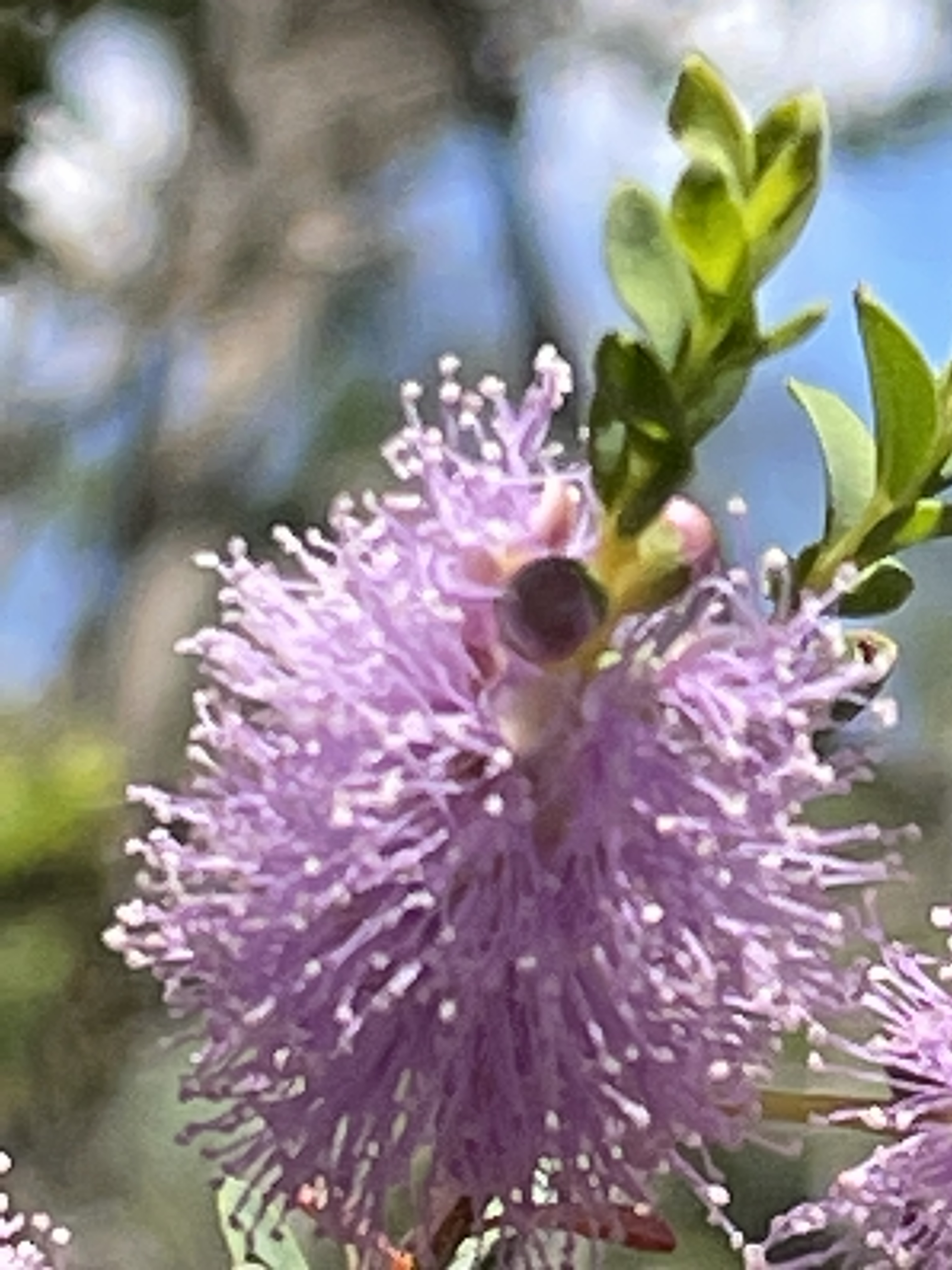
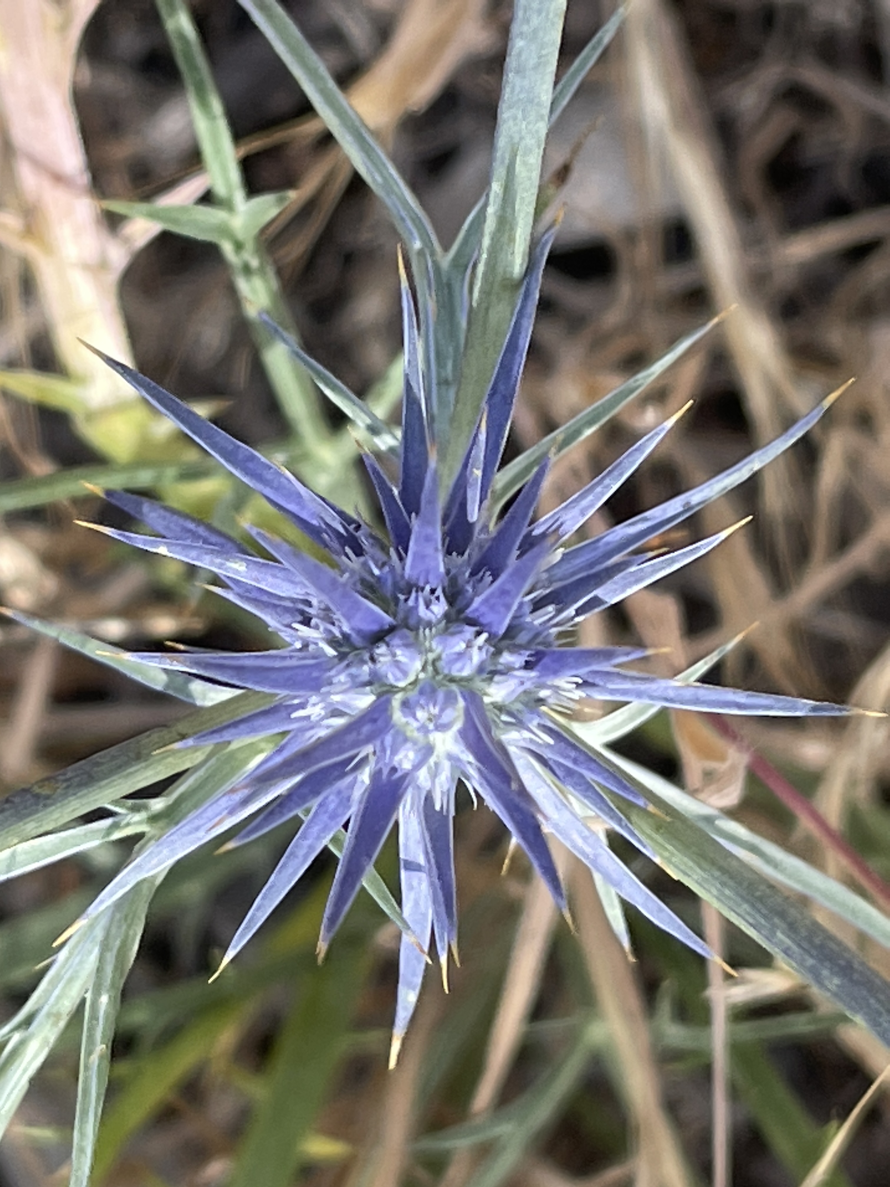
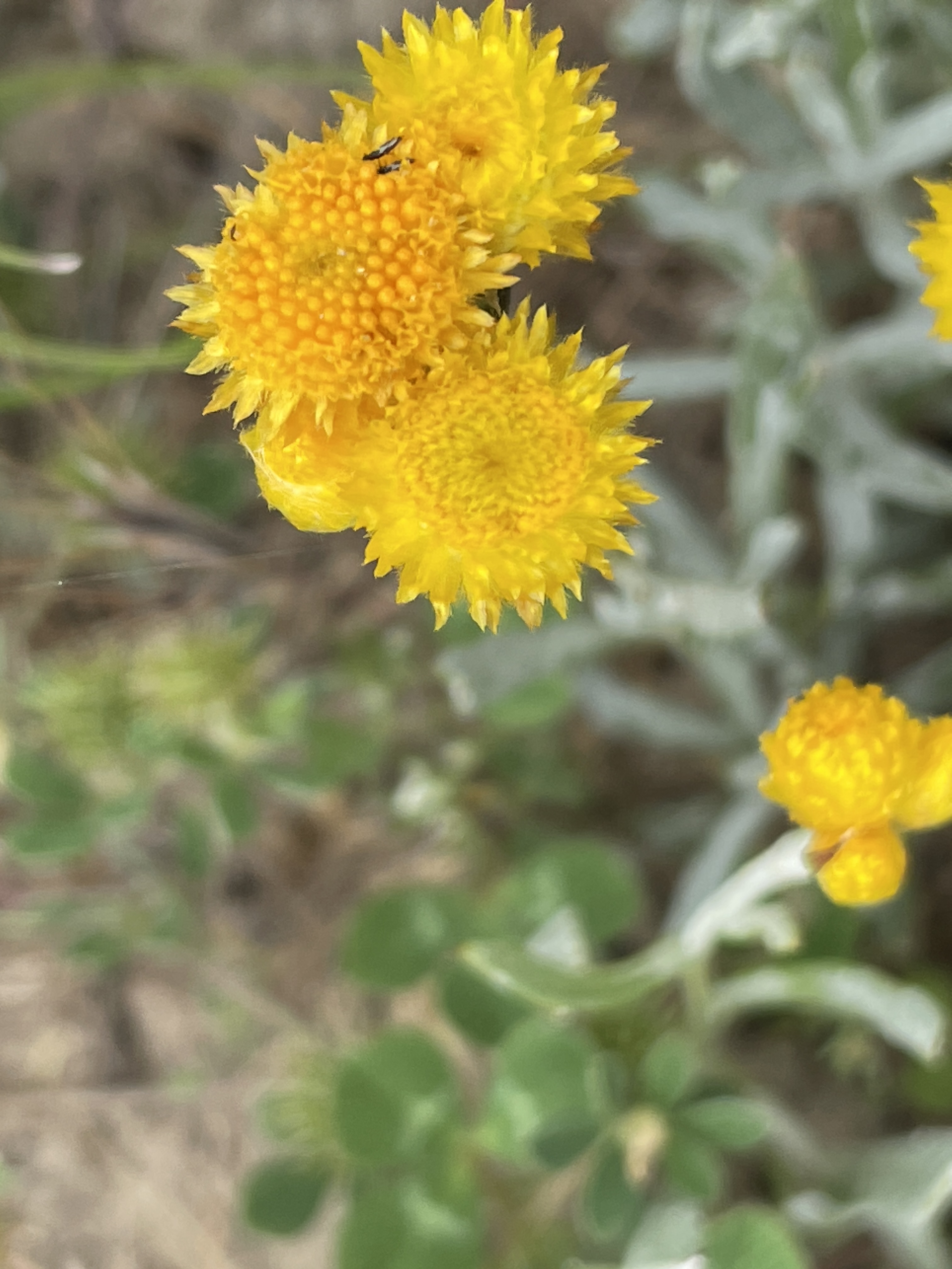
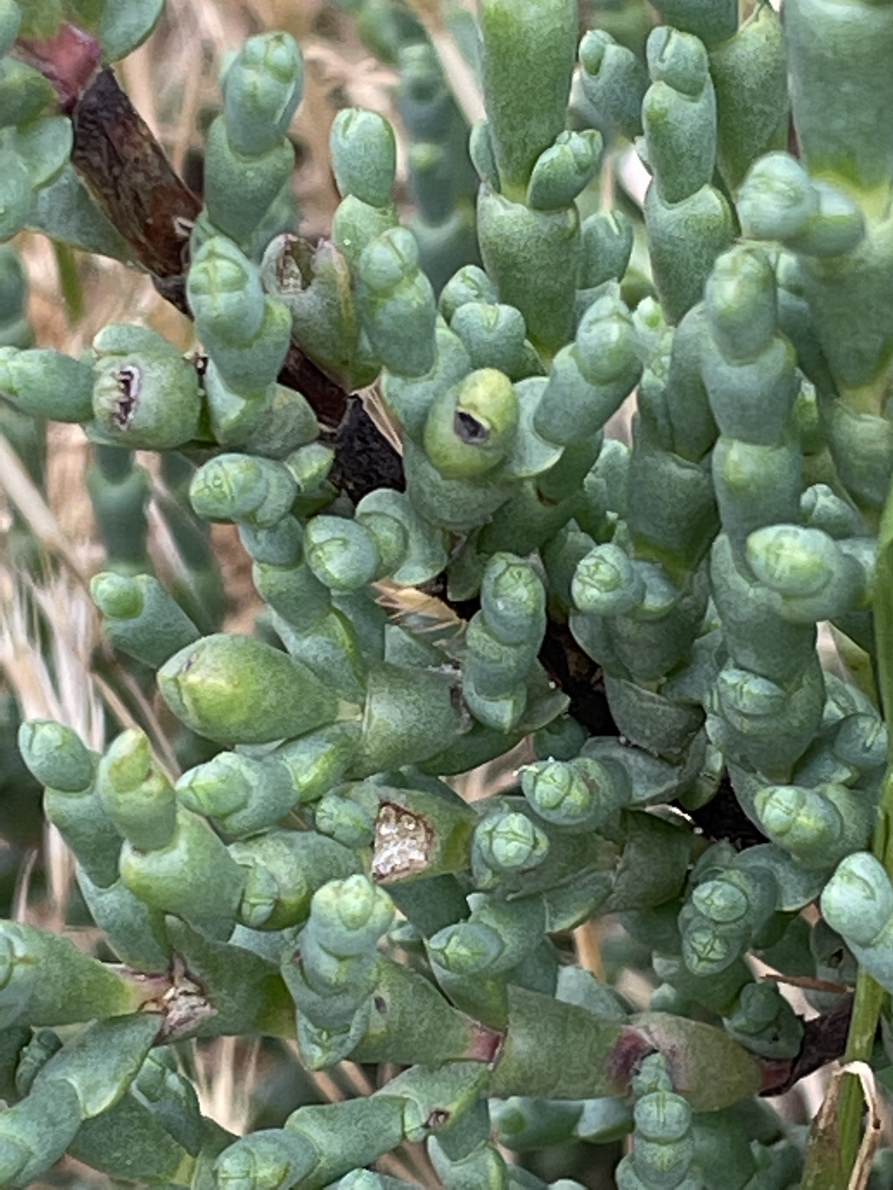
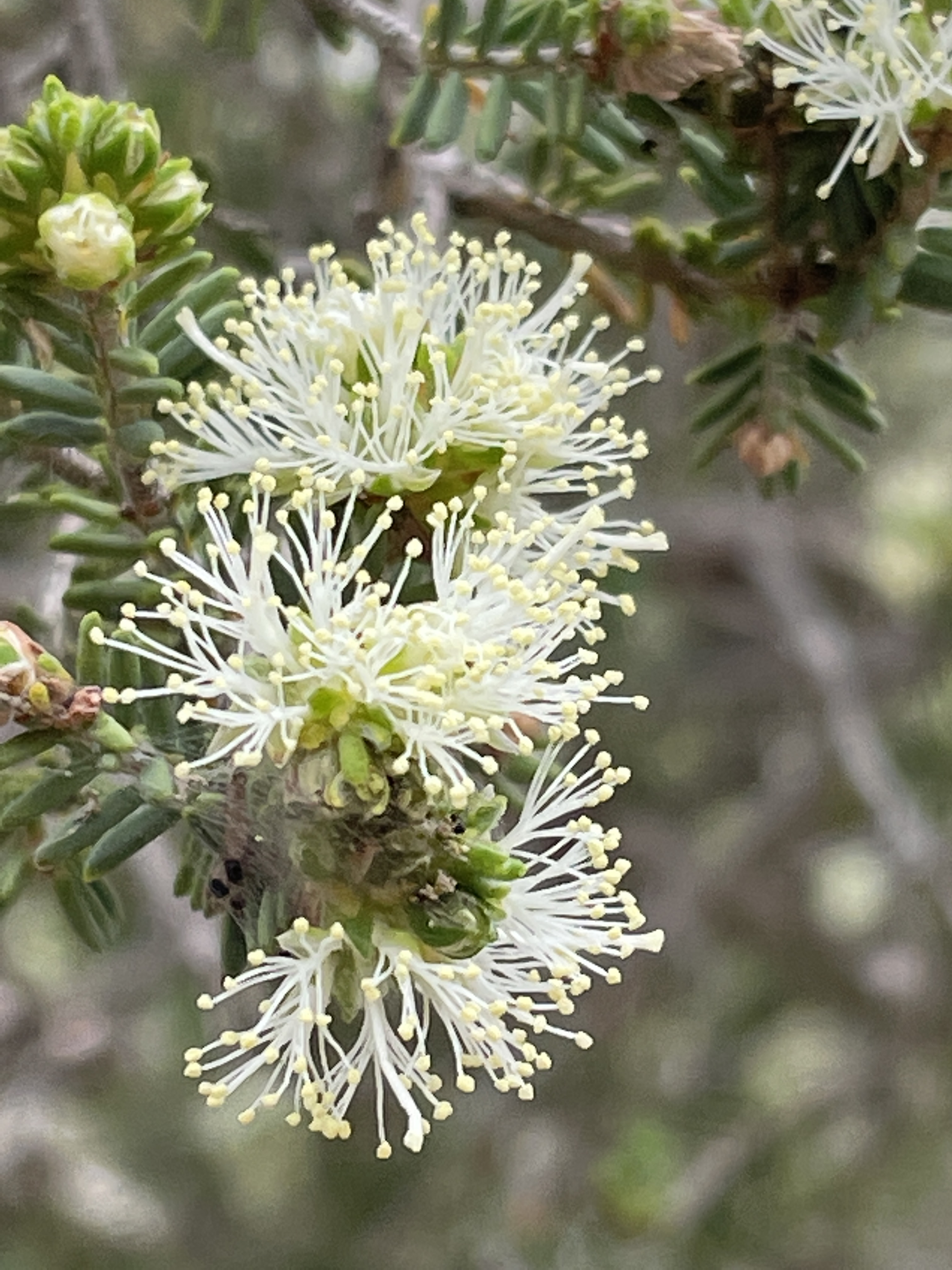
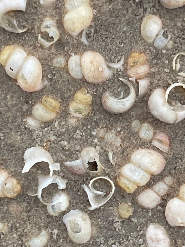
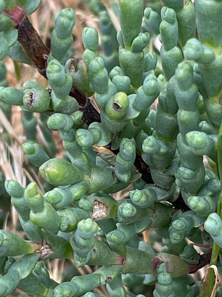
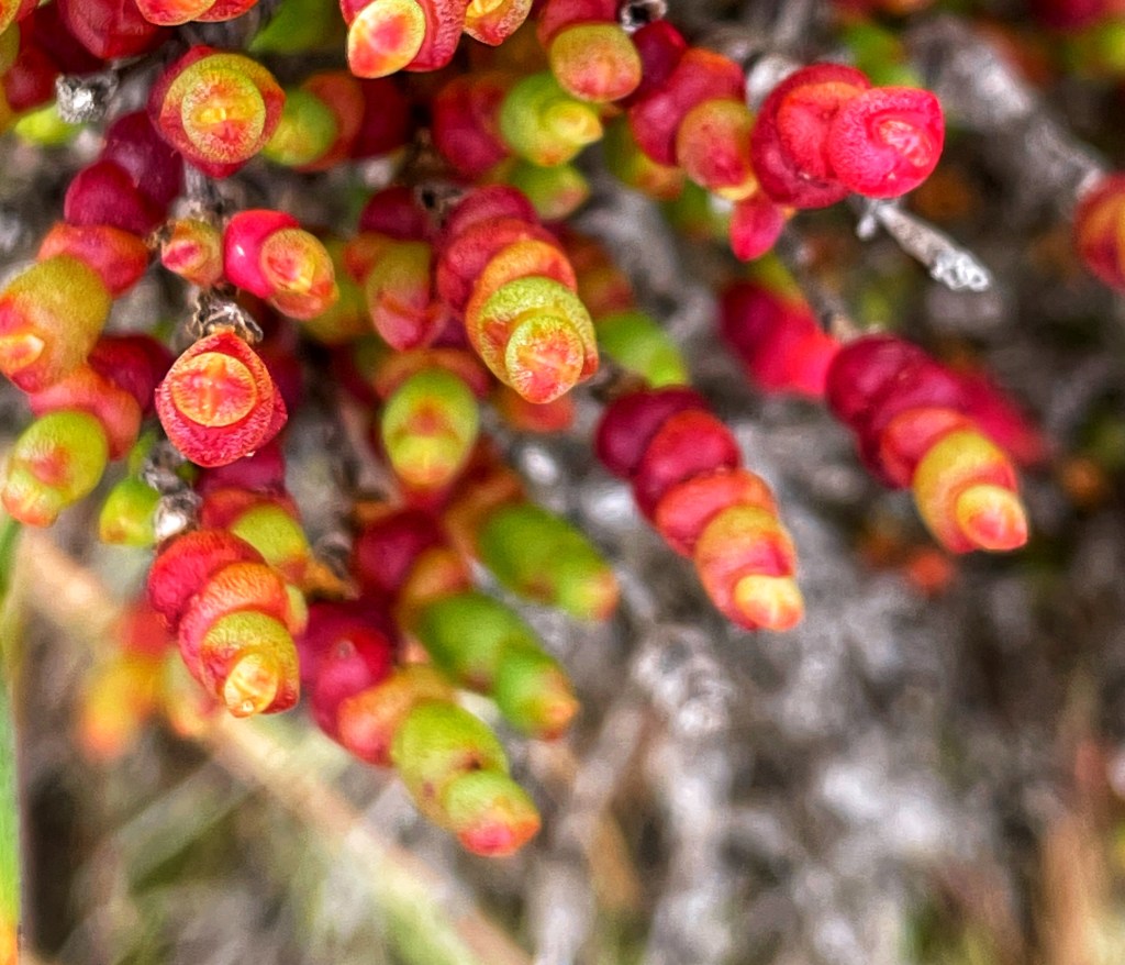
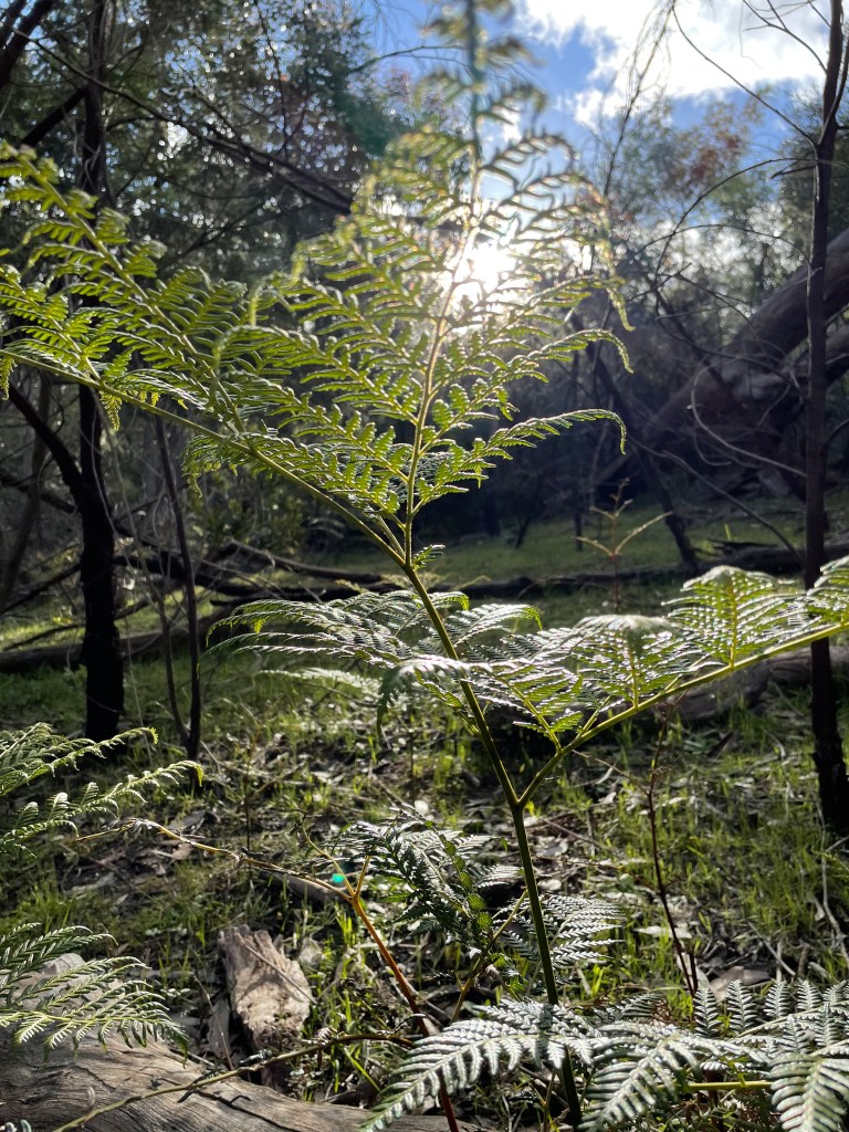
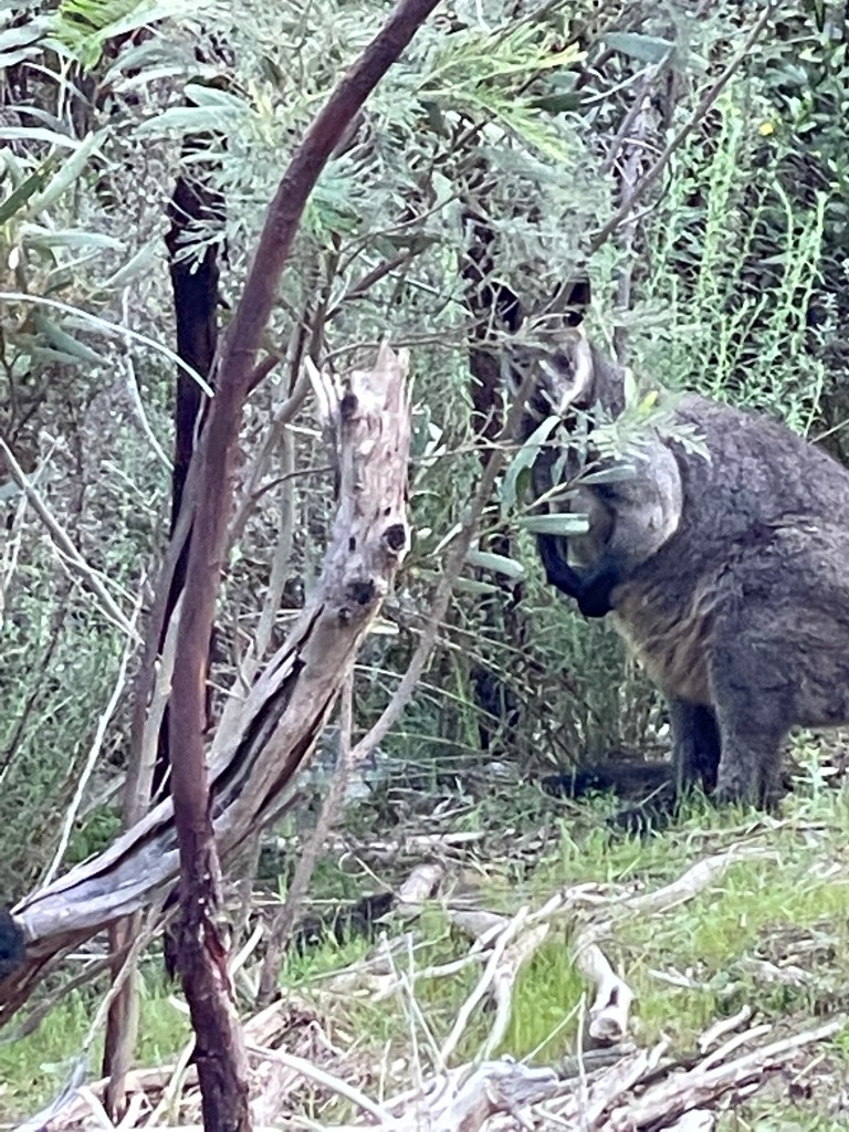
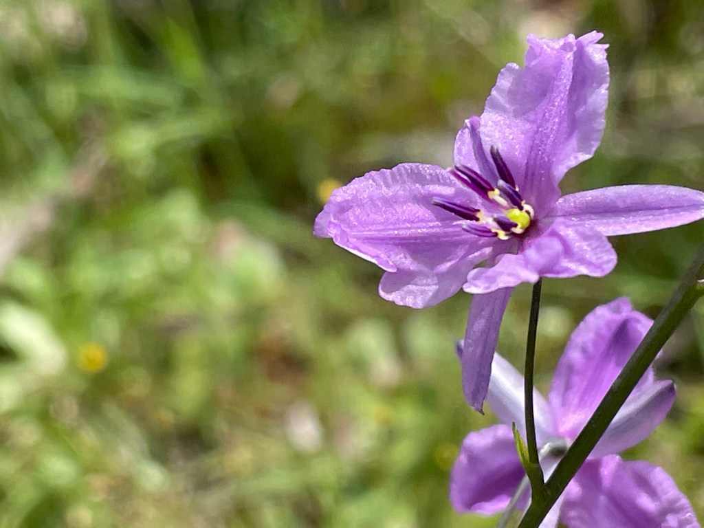
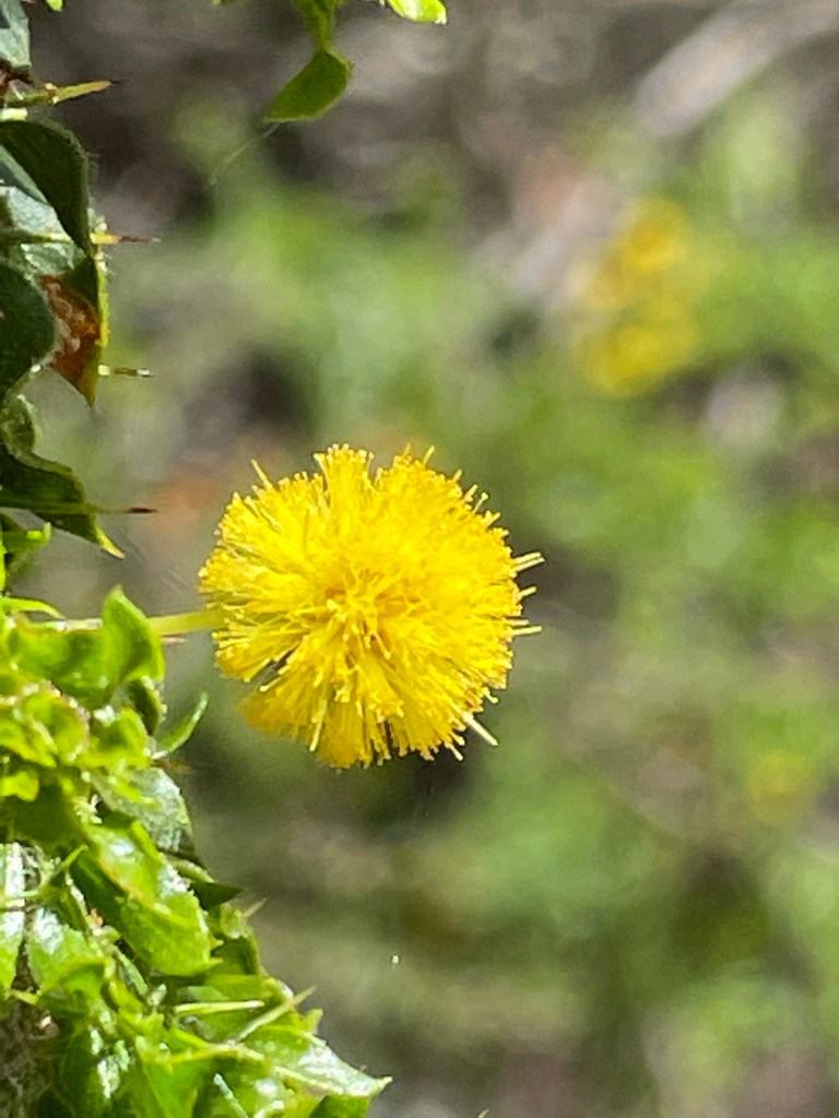
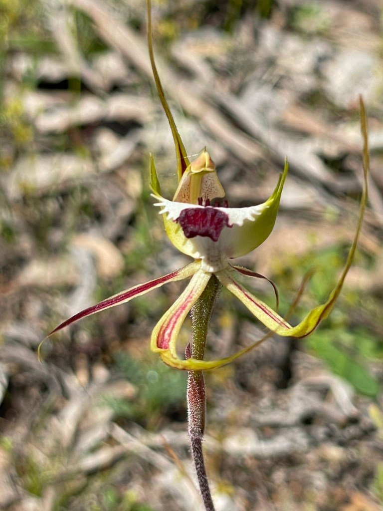
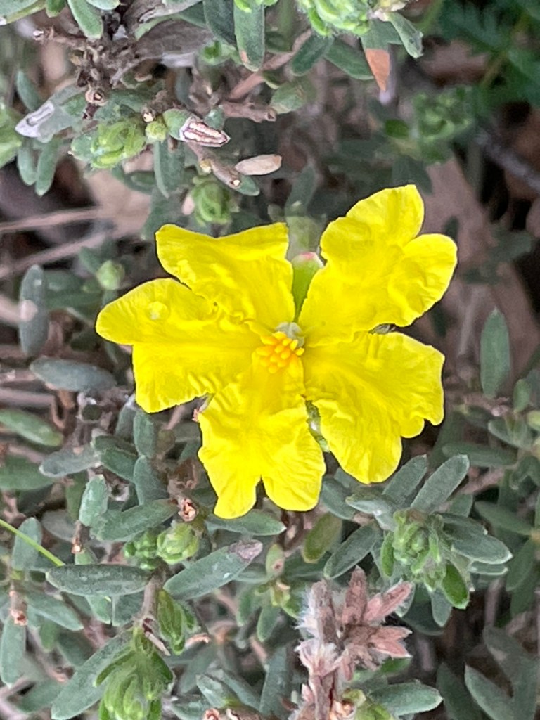
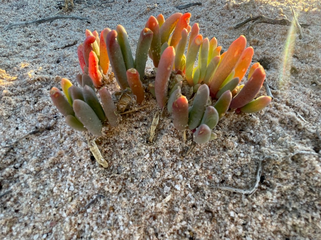
It’s also a breeding ground for sea gulls and great place for both Old Man Saltbush and the succulent Samphire – the asparagus of the sea – to thrive.

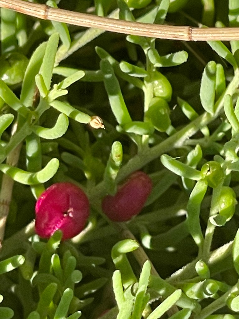
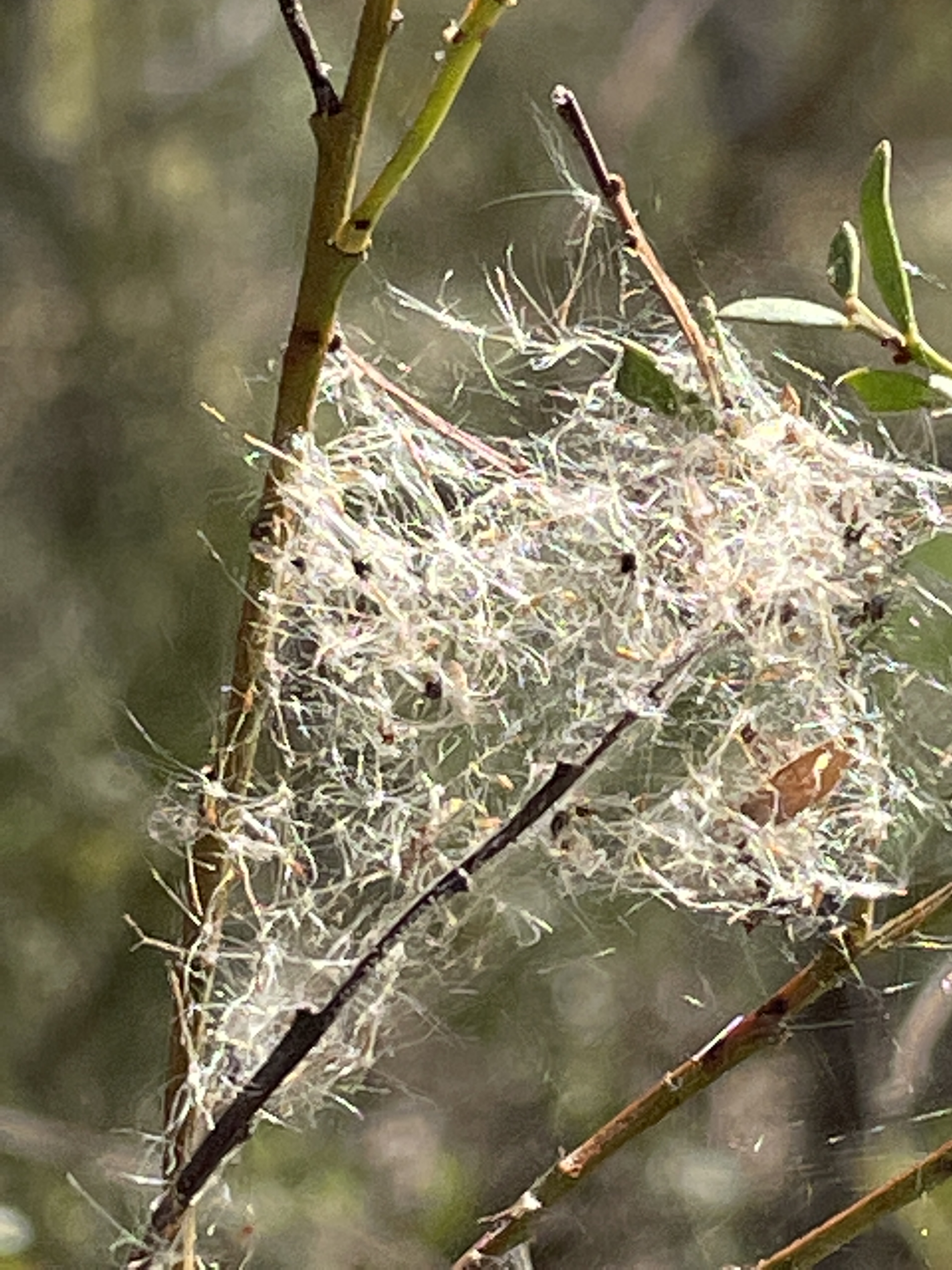
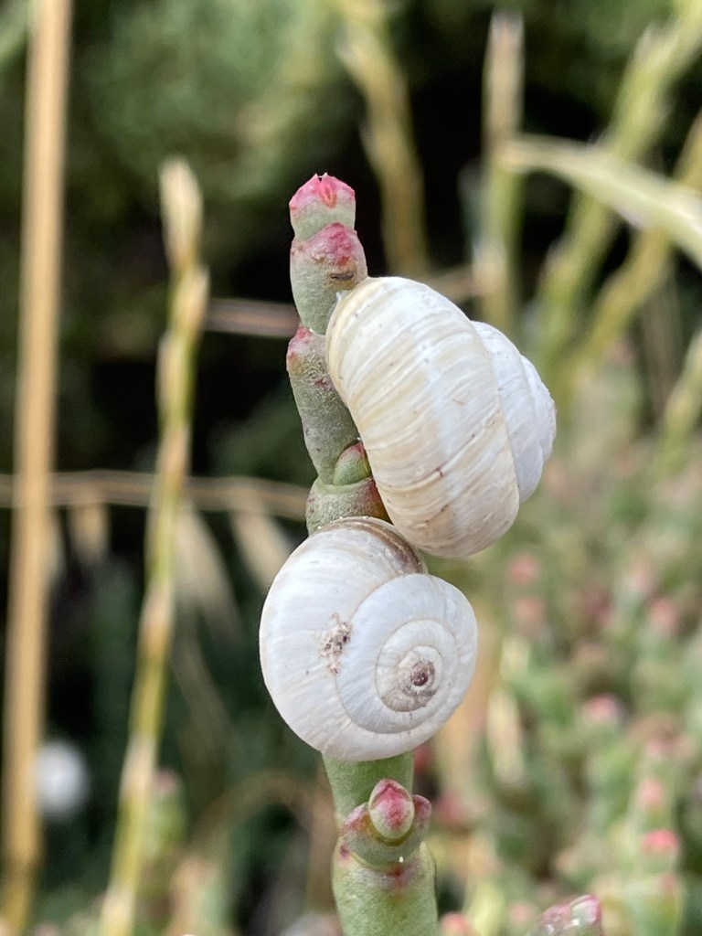
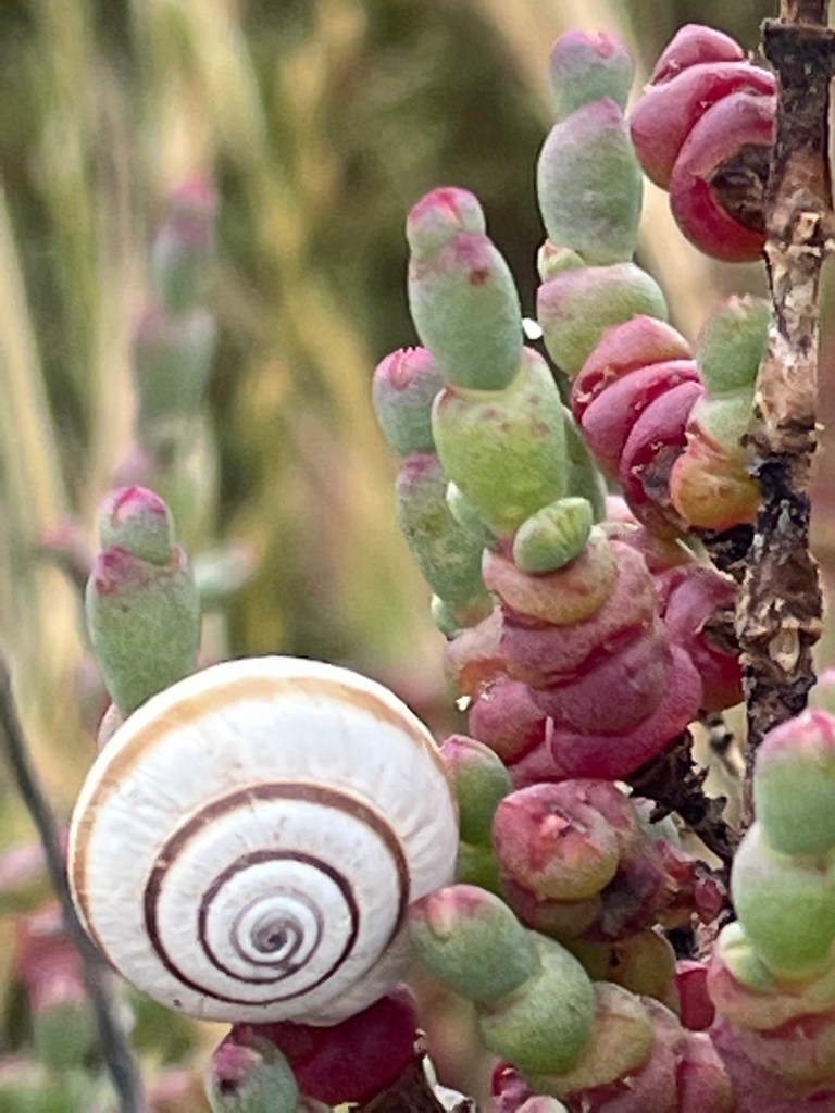
Tonight, many of these plants look fried and dead but I have no doubt they will bounce and flourish once the cooler wetter weather arrives. I do find patches of ever-reliable green and pink pigface stems reaching for the sky.

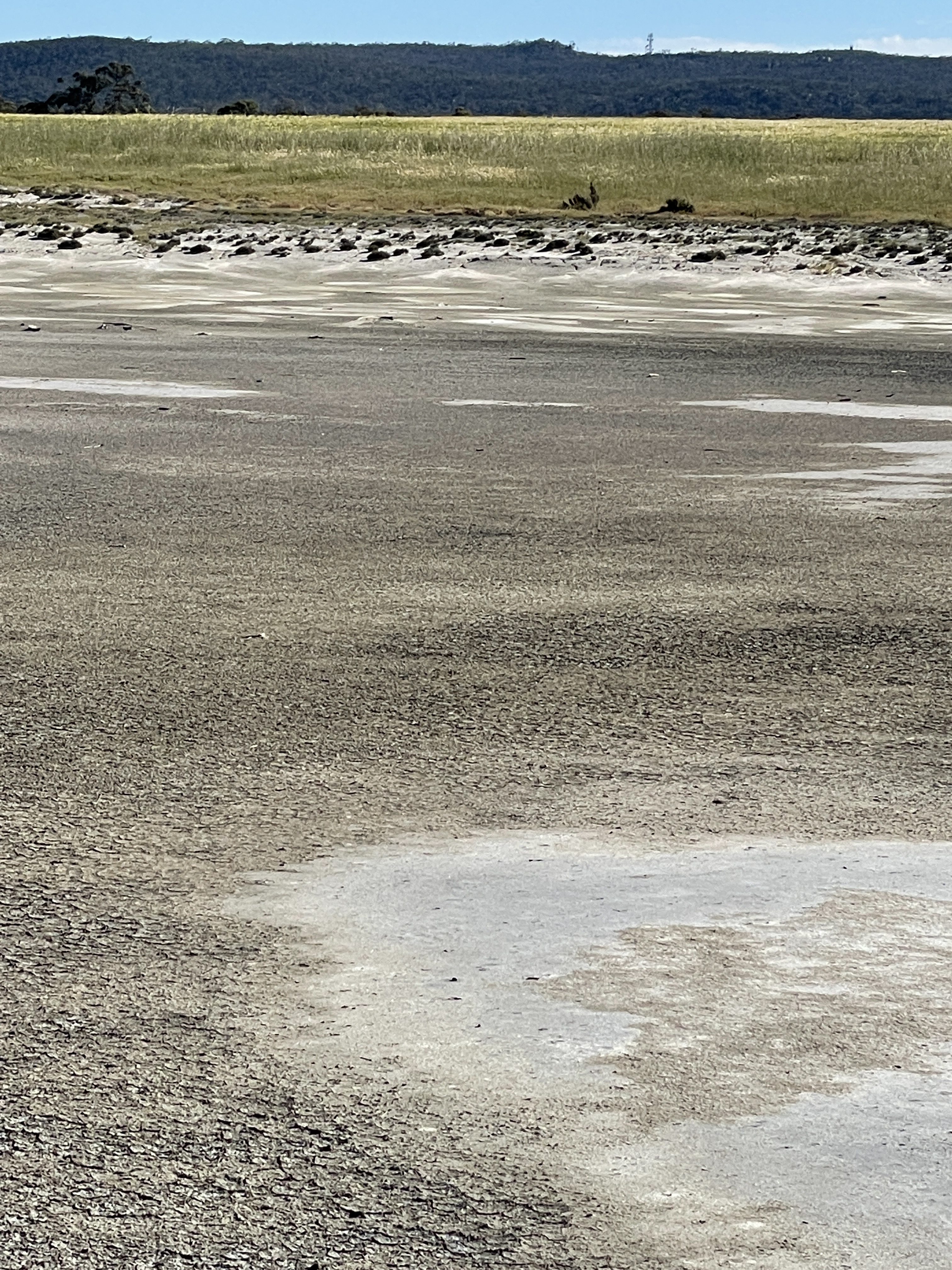
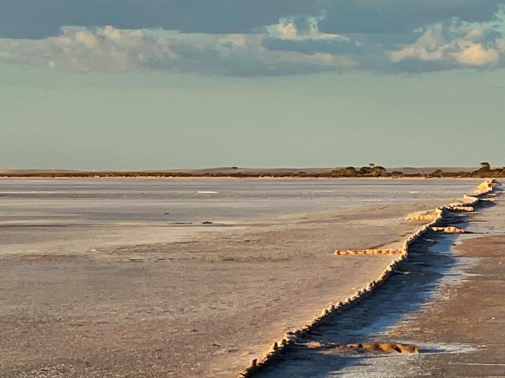
It’s a nice walk on a balmy summer evening but the chance of reflections is slim with only a few puddles of dotted between the crusty salt.

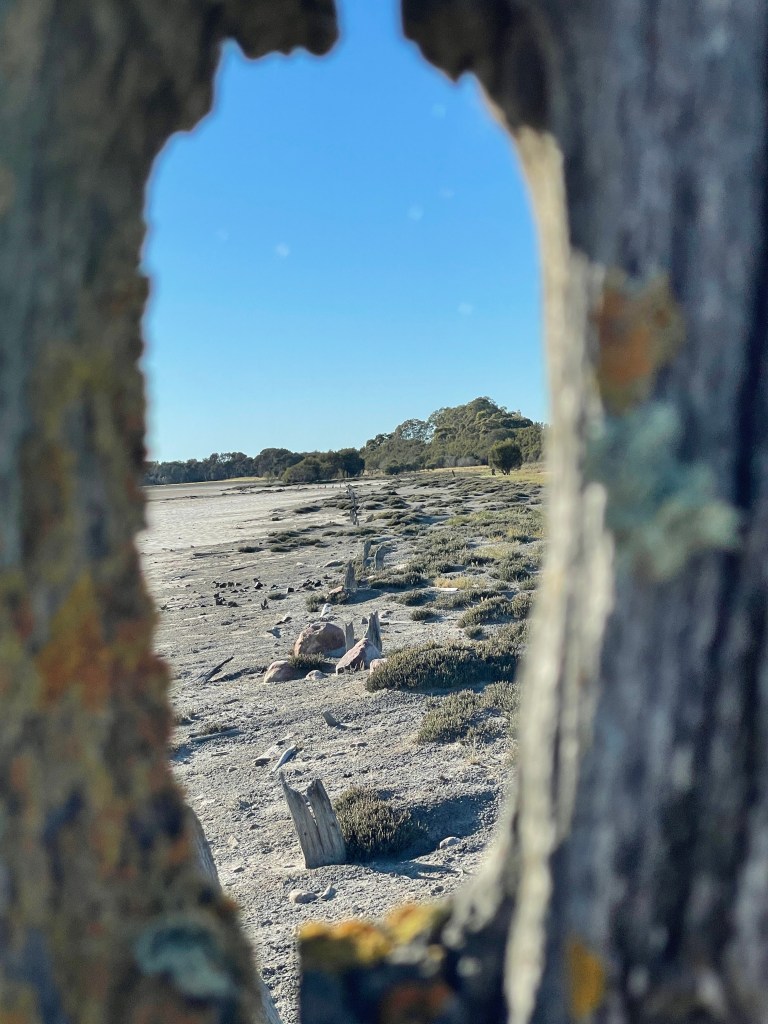
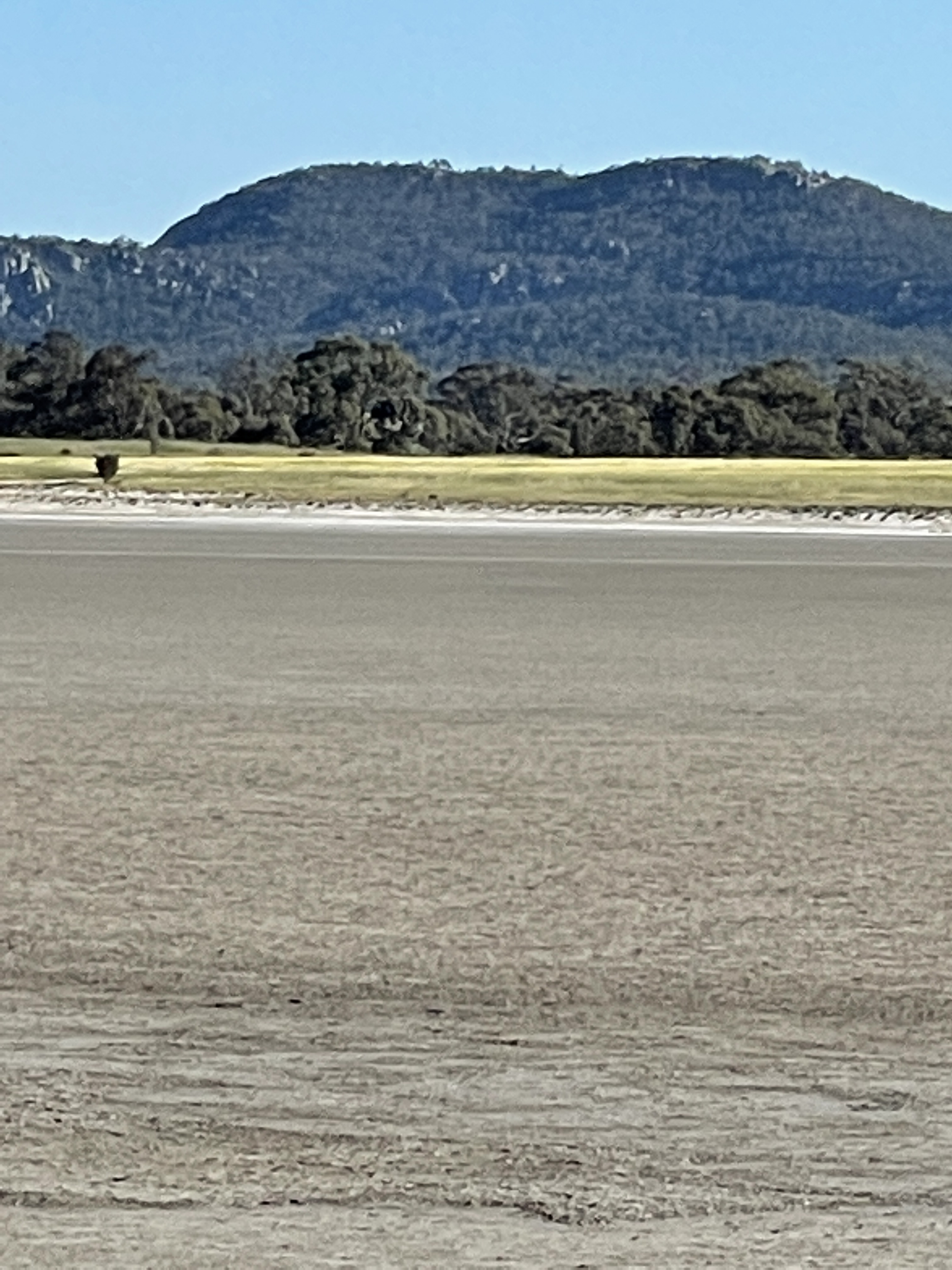
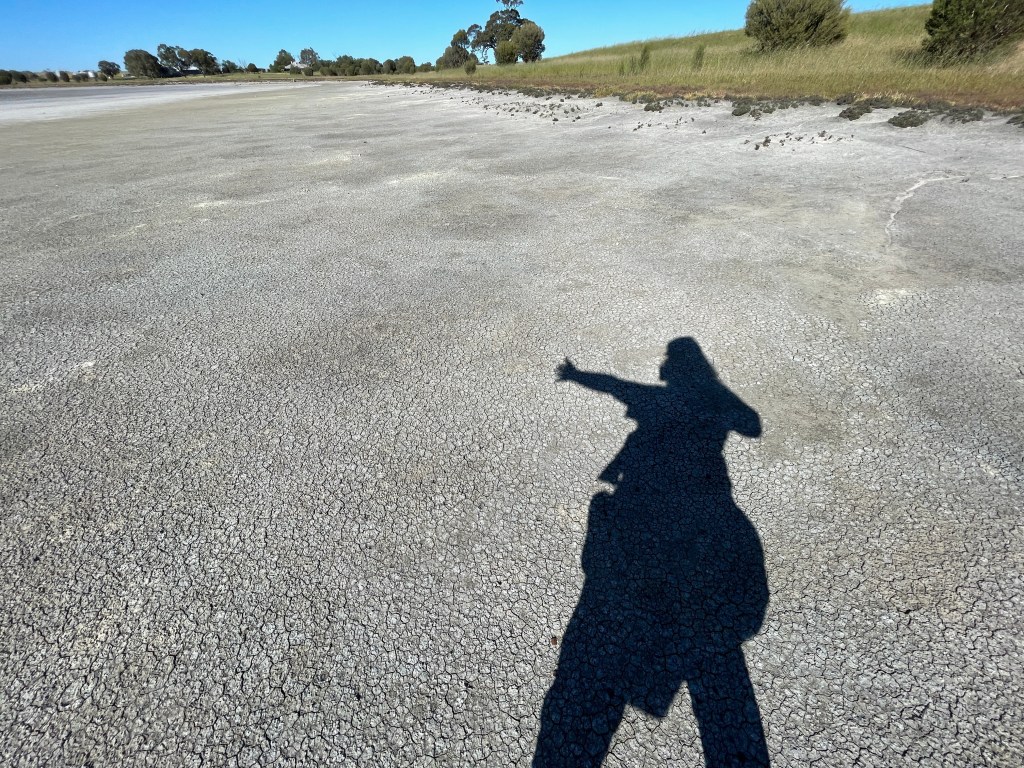
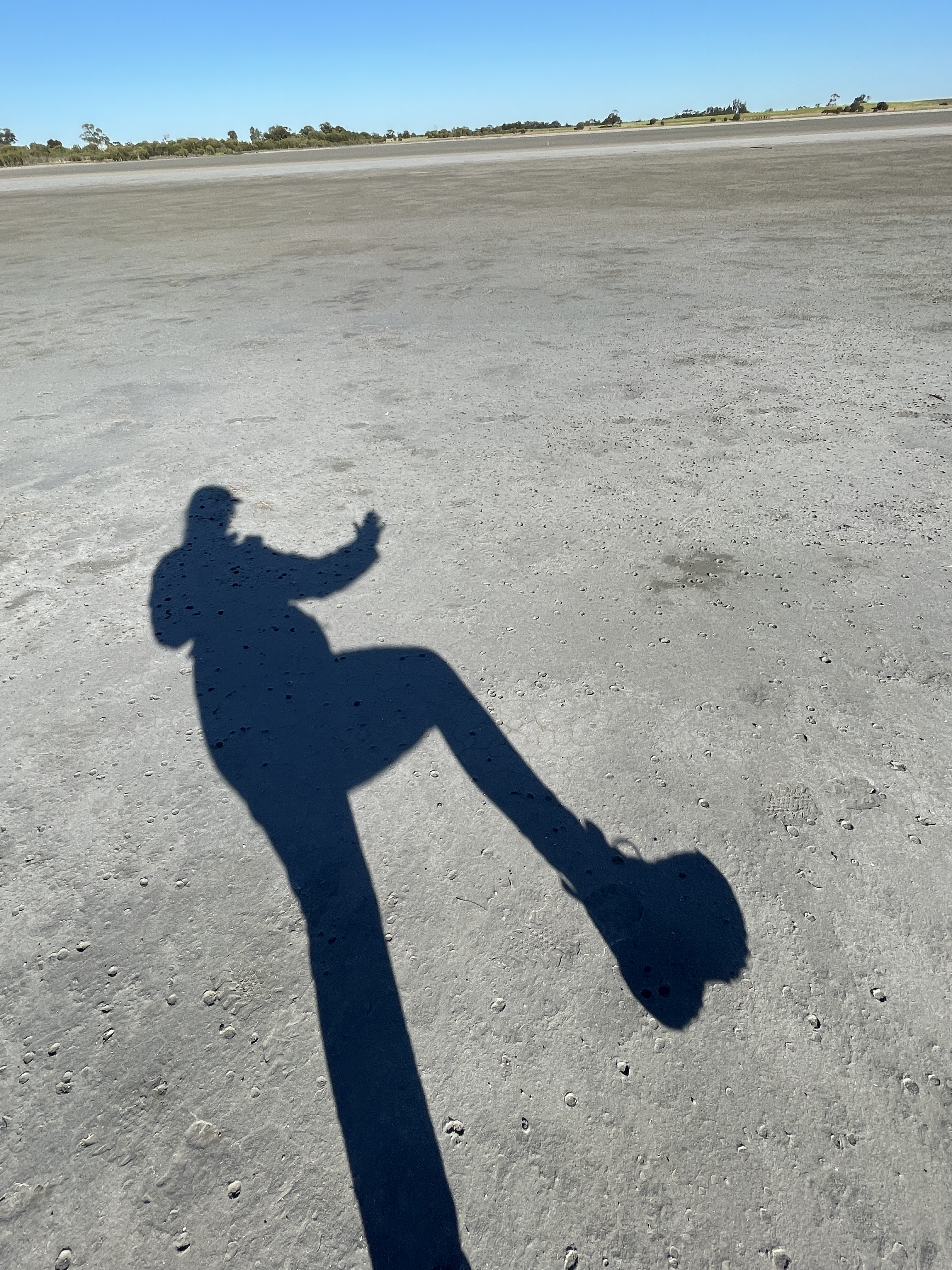
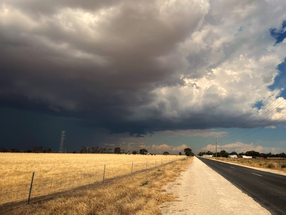
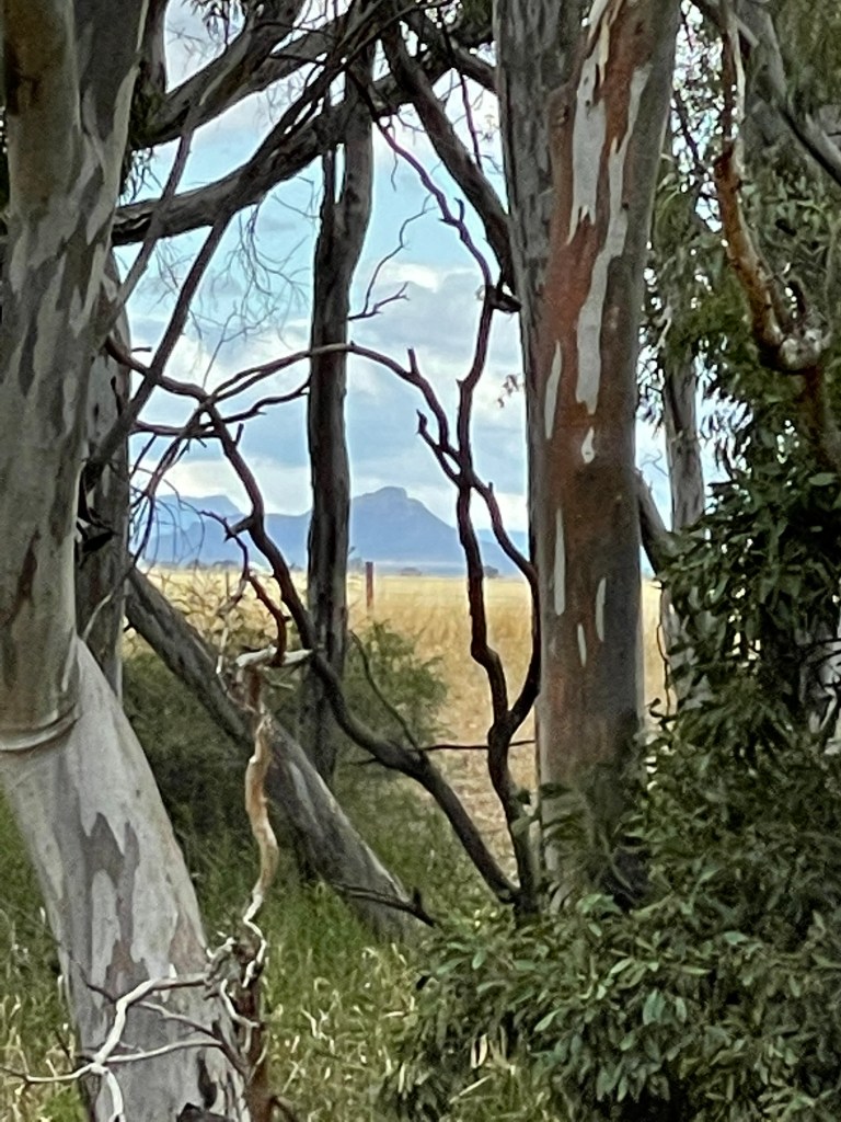
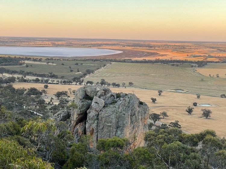
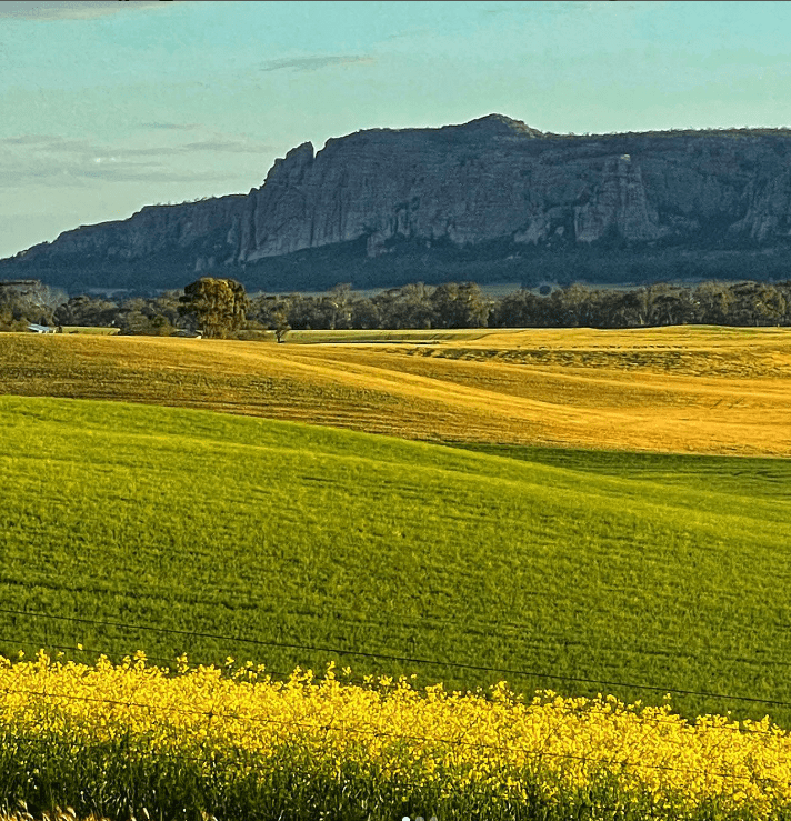
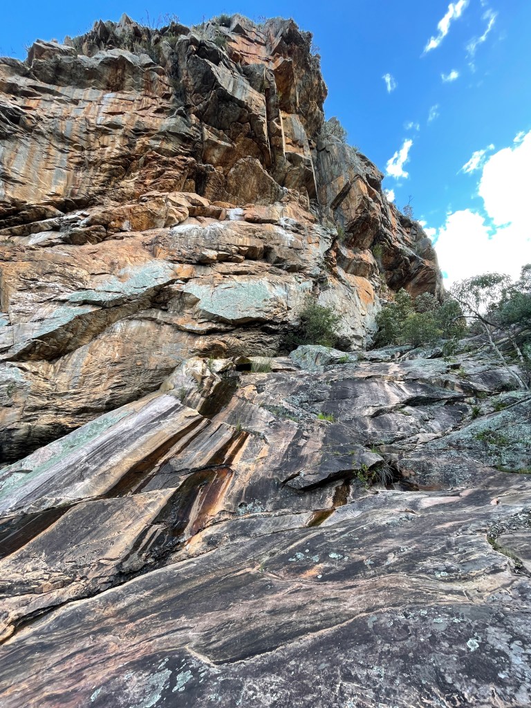
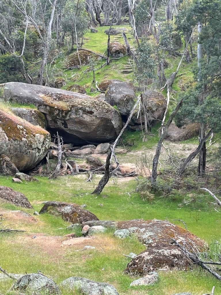
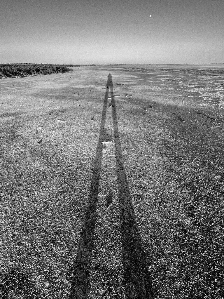
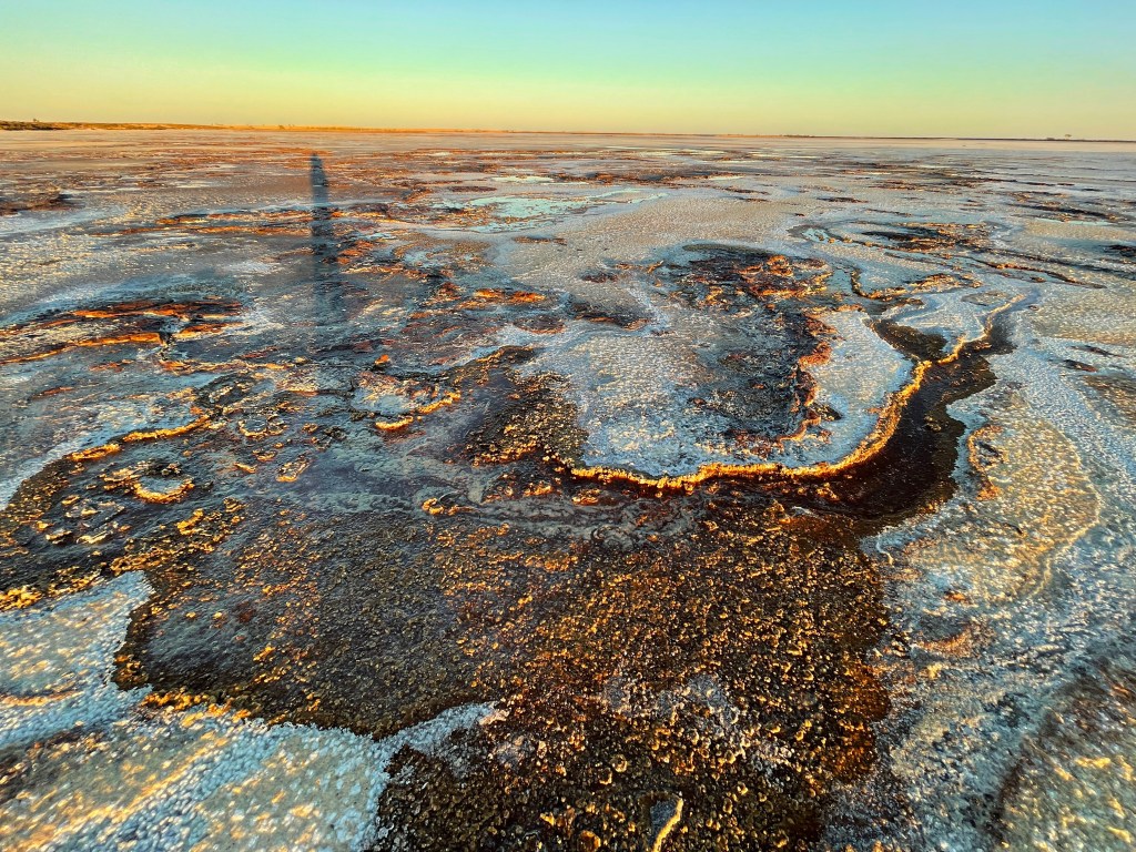
Water or not, I’m struck by the lake’s size, the vast sky and the colours and textures.

It’s nature’s version of an abstract masterpiece. I get down low and inspect the lines, lumps and tones.

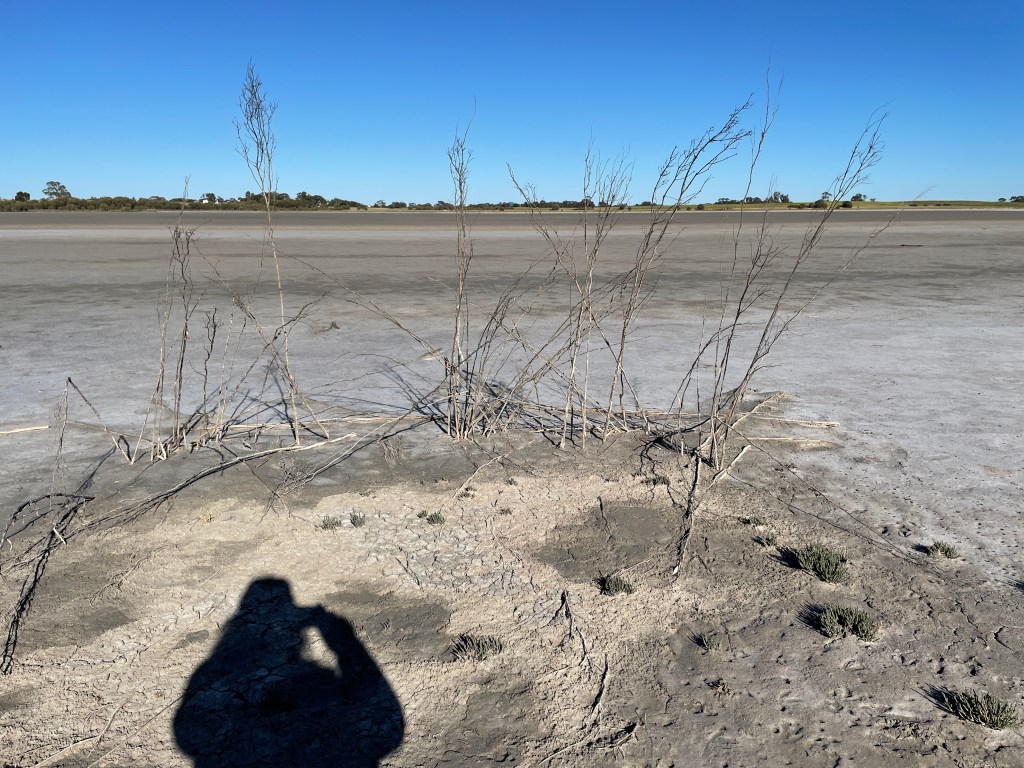
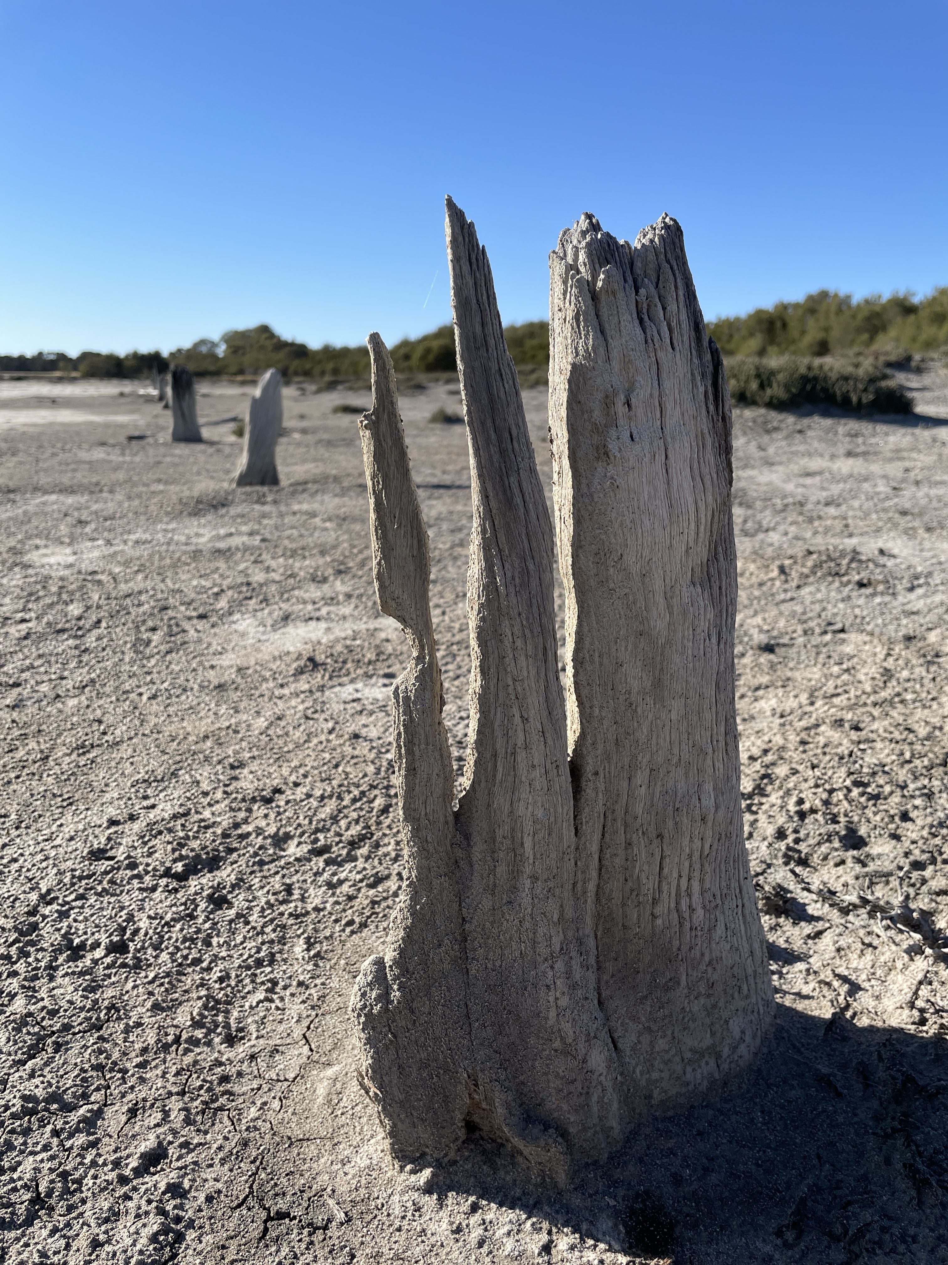
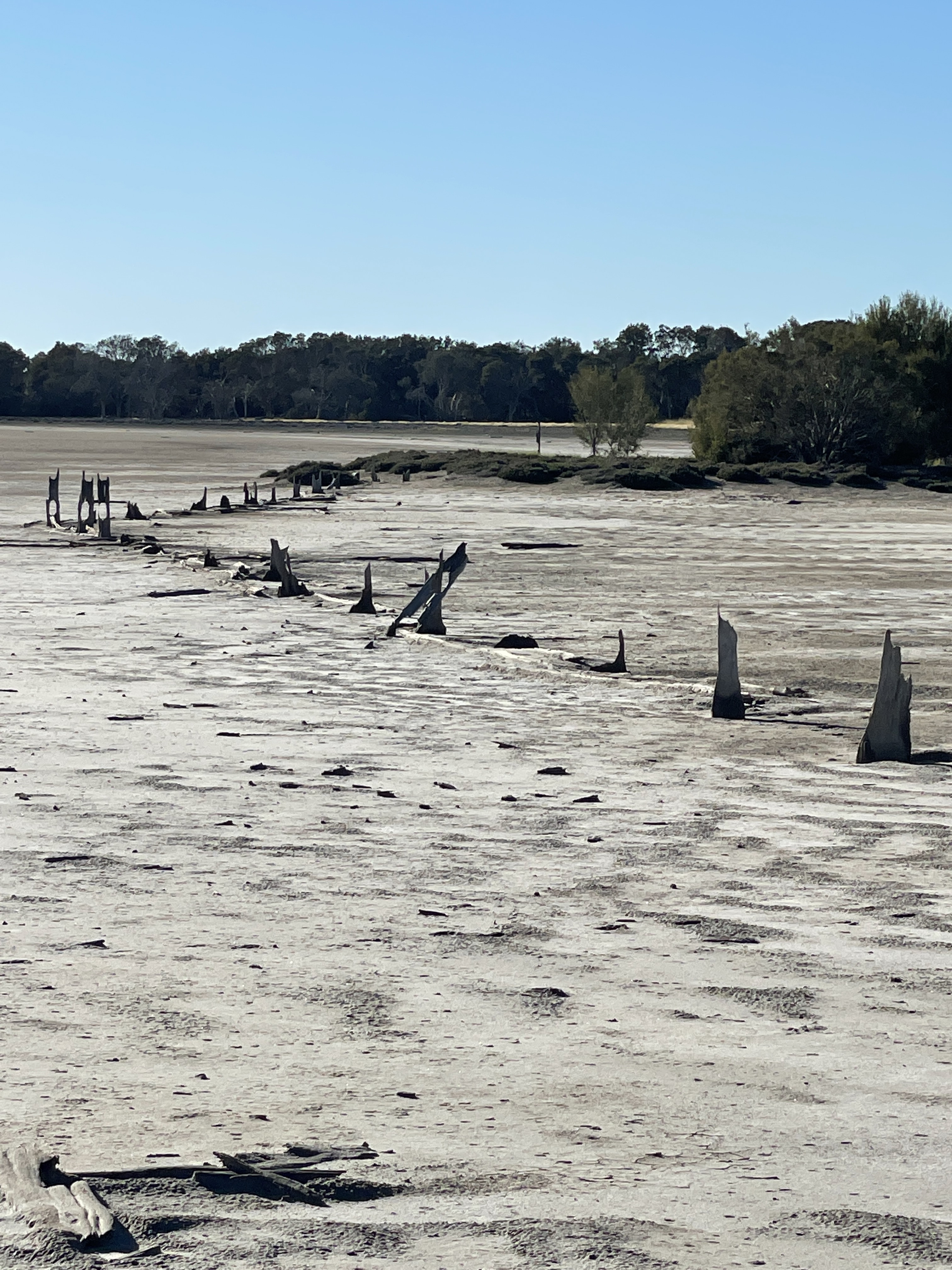
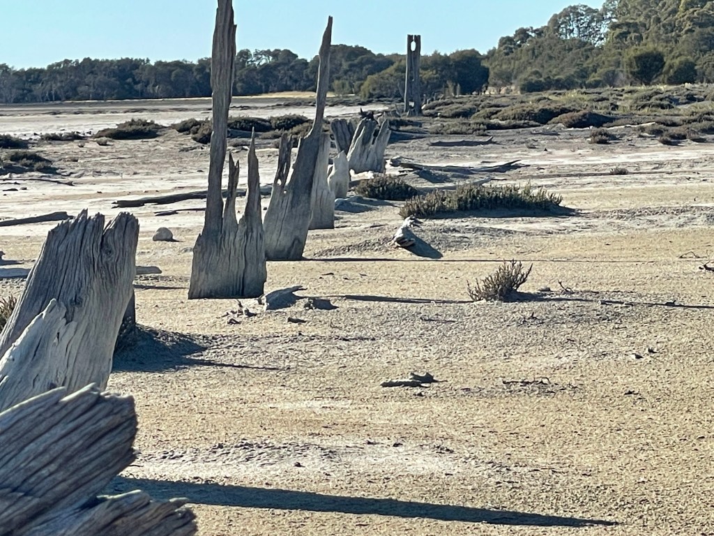
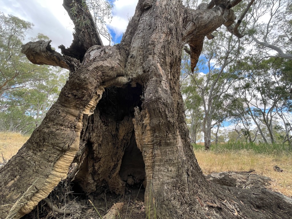
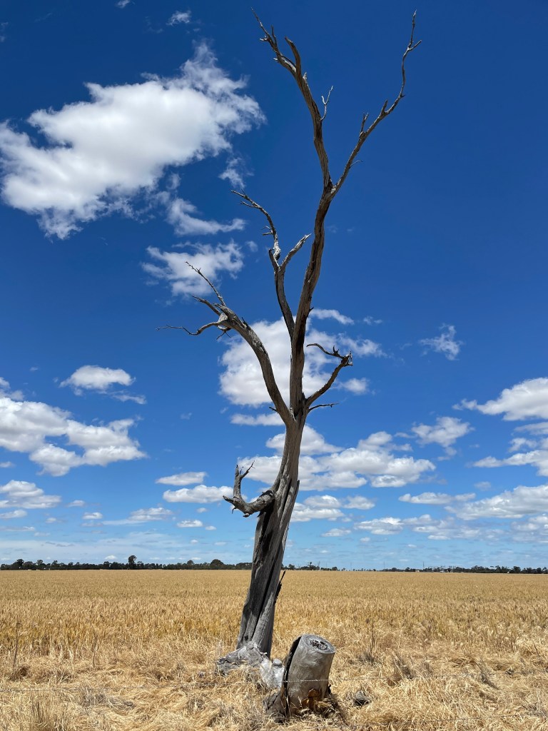
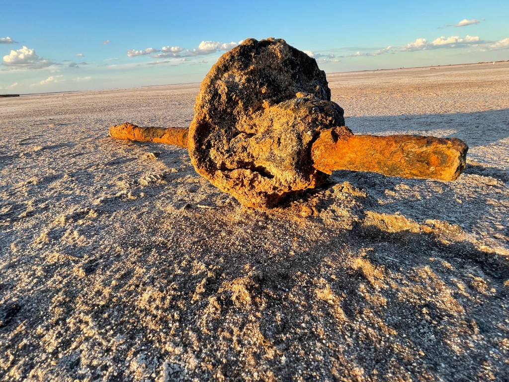
Old pieces of harvesting machinery lie abandoned but stoically resilient against the corrosive ravages of this place. A line of buried tin fence disappears into the distance, rudely interrupting the flat, open space.

Other parts of the lakebed resemble bitumen roads which have swelled and buckled in the heat, their salty peaks illuminated by the evening light.

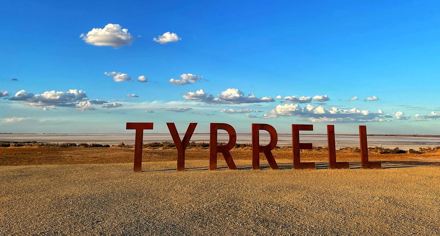
We reach the huge, rust coloured ‘Tyrrell’ sign. A bold, manufactured, loud addition to this natural, quiet landscape but it also somehow fits with the backdrop of a blue sky and cotton wool clouds floating behind.

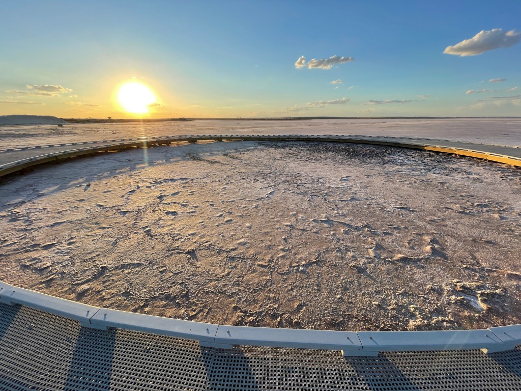
The nearby circular board walk would normally be surrounded by water. No reflections tonight but we get some dramatic shadows on the waves of dry salt in the centre.

People also look at the stars from here to find dreamtime characters including Bunya the possum who fled the giant emu Tchingal and stayed up in a tree so long he turned into a possum. Night skies also reveal Kulkunbulla the two young dancing men and creator Warepil (also known as Bunjil) the wedged tailed eagle.

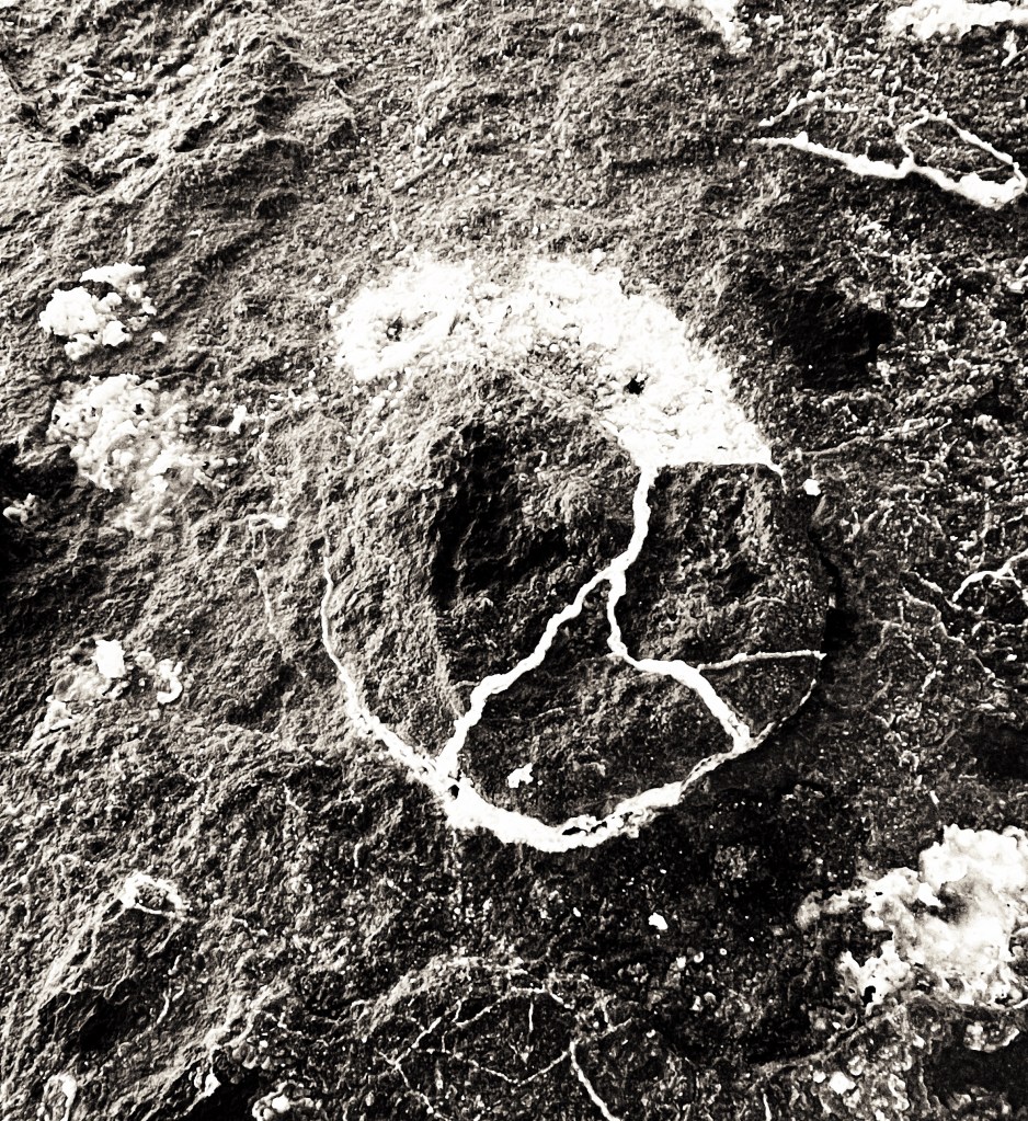
There are some wonderful shapes to be seen in the lakebed on my return to the car park. White circles with a hole in the middle, an imperfect peace sign and messes of tiny lines crossing over the rust-coloured surface.

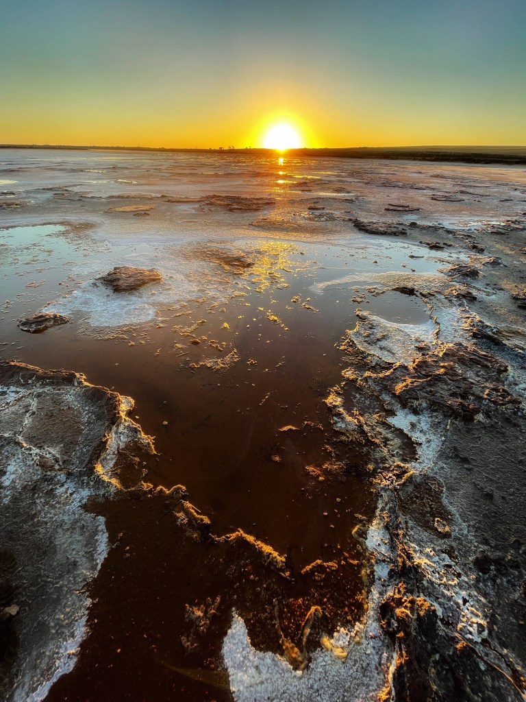
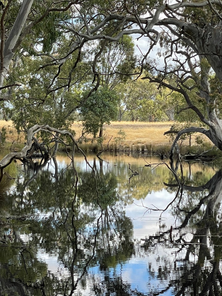
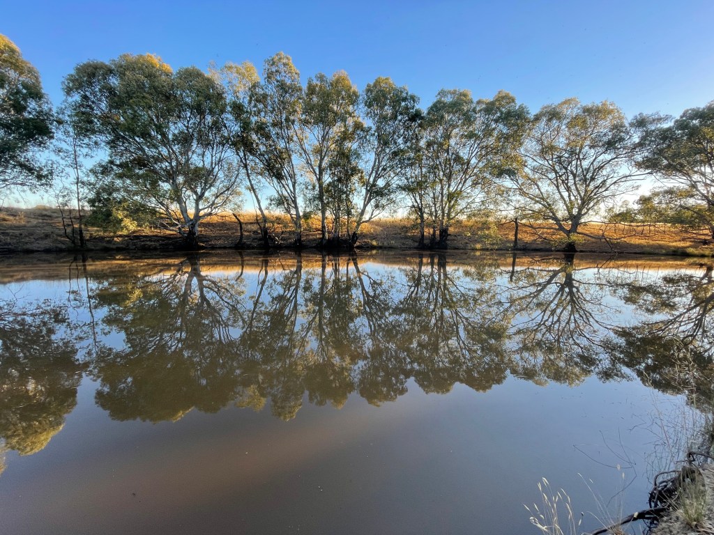
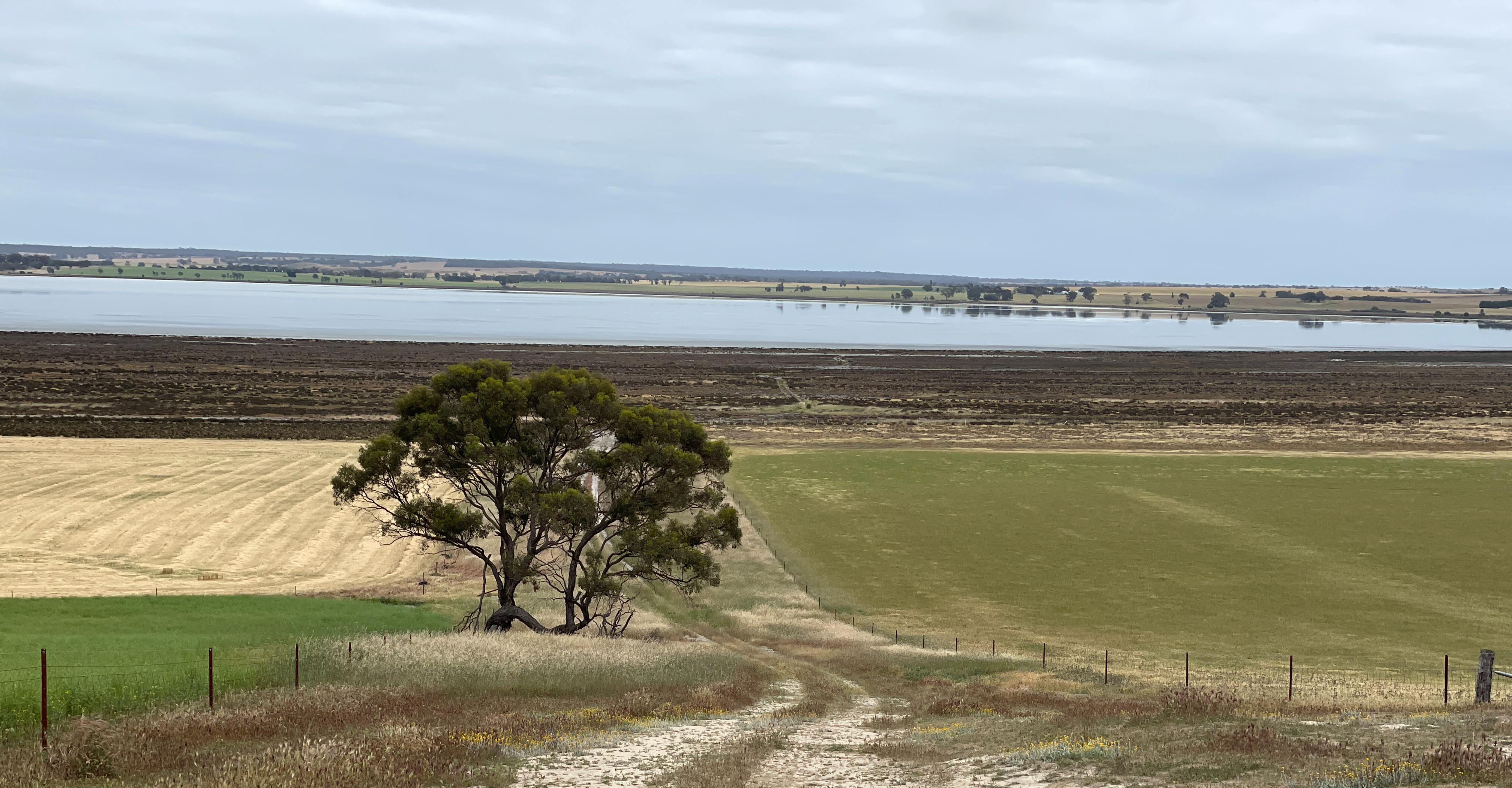
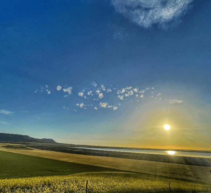
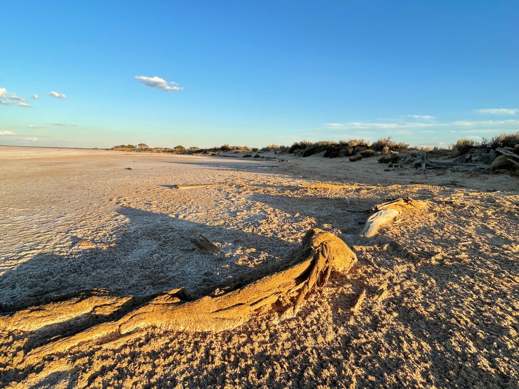
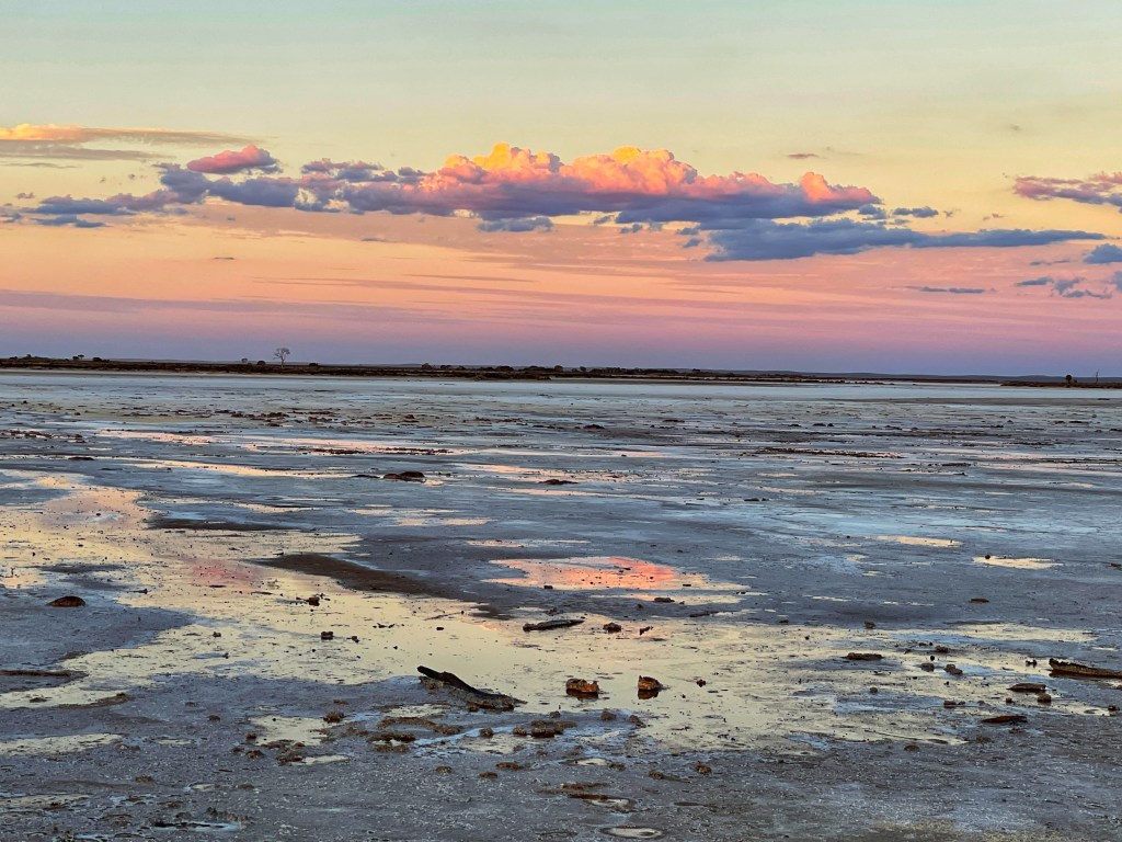
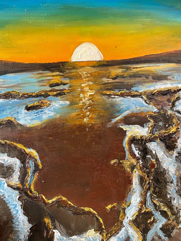
The next morning, I return to watch the sun rise where there’s water at another part of the lake.

The sun’s flame transforms chocolate water into gold. It’s like nature’s take on a John Olsen painting as ‘waves’ of salt reveal a tree, an intricate doilie or veins spreading across the lake bed. Shapes, textures and colours show Direl is more than reflections.

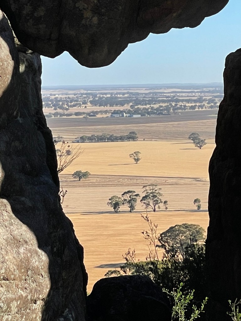
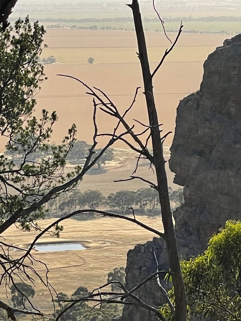
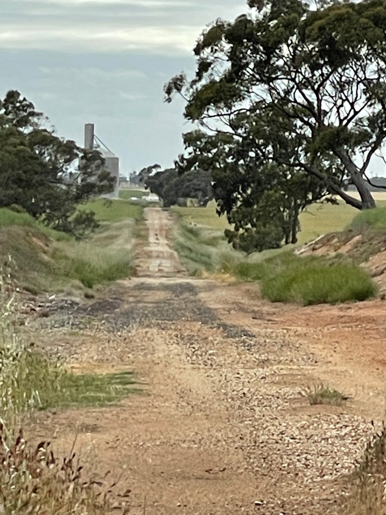
I do some more exploring at the southern end and then I head back into Sea Lake to look at the silo and head home.

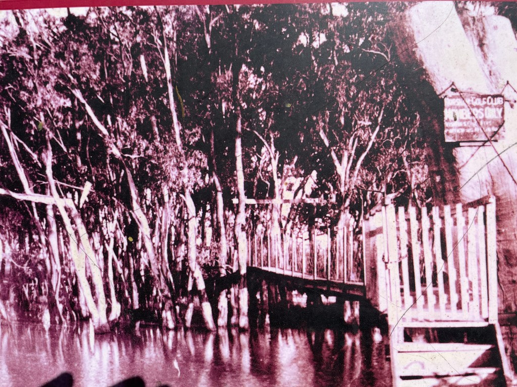
I did have a look at the Cheetham Salt site but could not get near it, although there is a pic of uncle Dick on the webpage.

Bottom line – I struck out on family history and mirror images photos but on reflection, there are many other reasons to head to Lake Tyrrell – Direl – The colours, its rich Aboriginal history, the space, the sky and the wonder of its unique salty, crusty, harsh and beautiful environment.

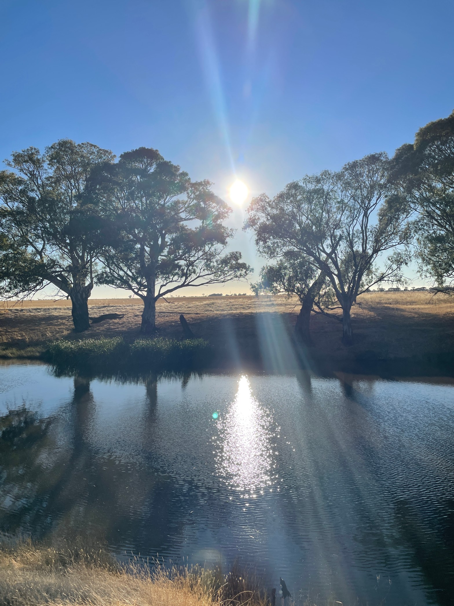
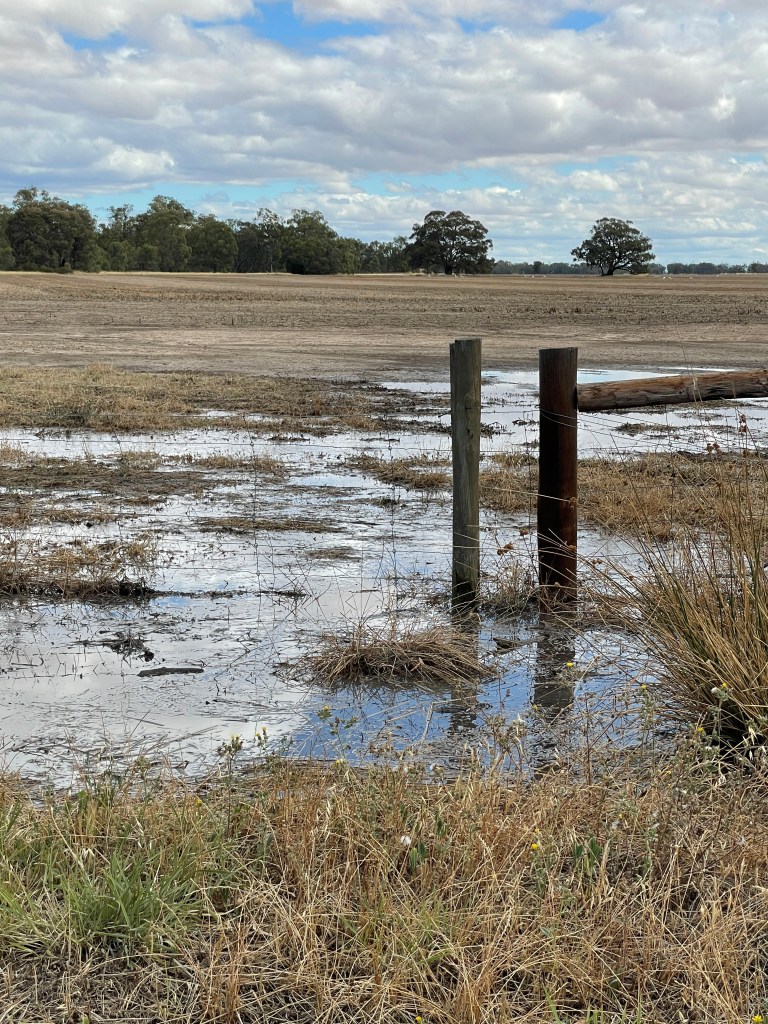
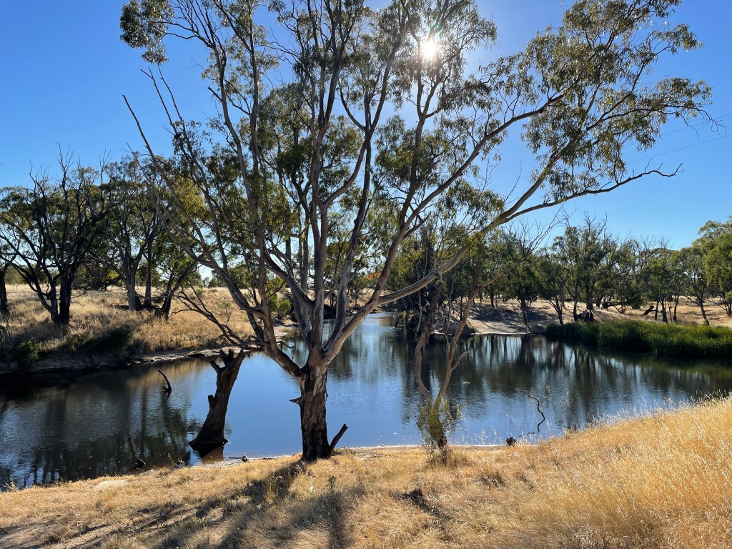
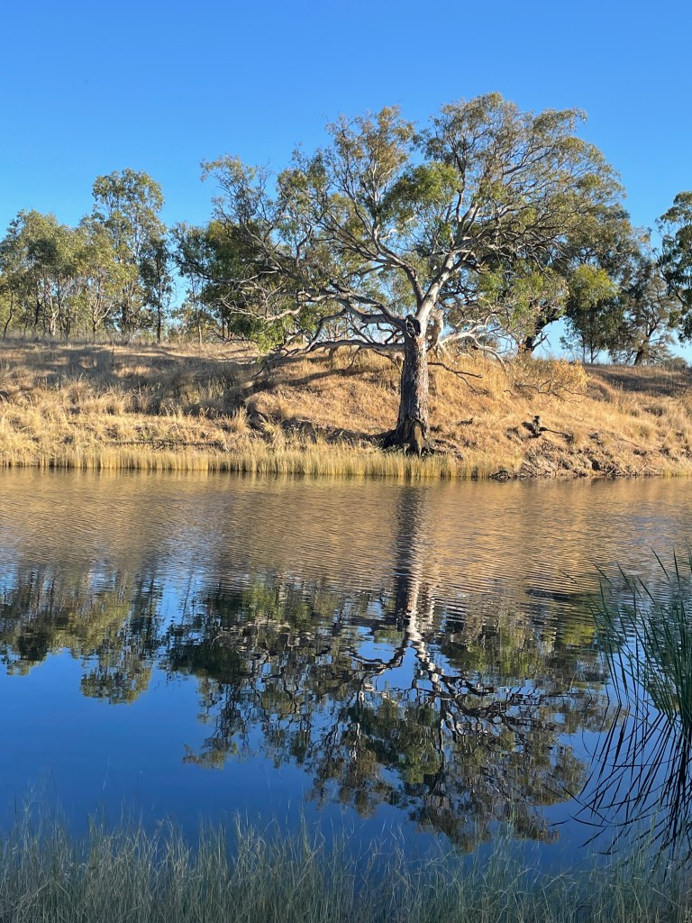
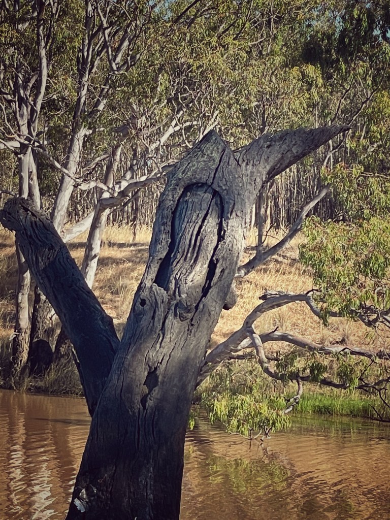
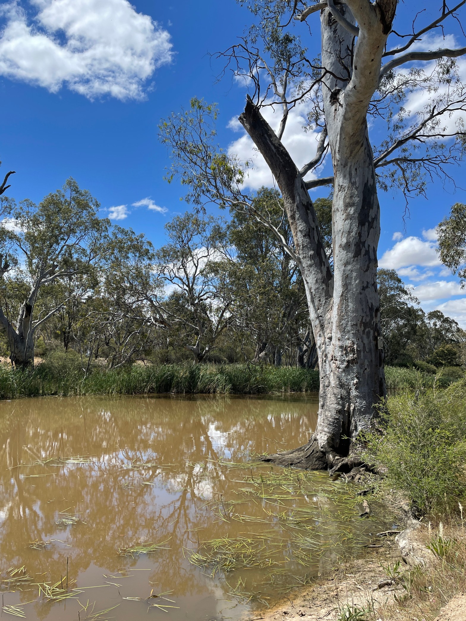
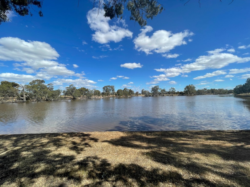
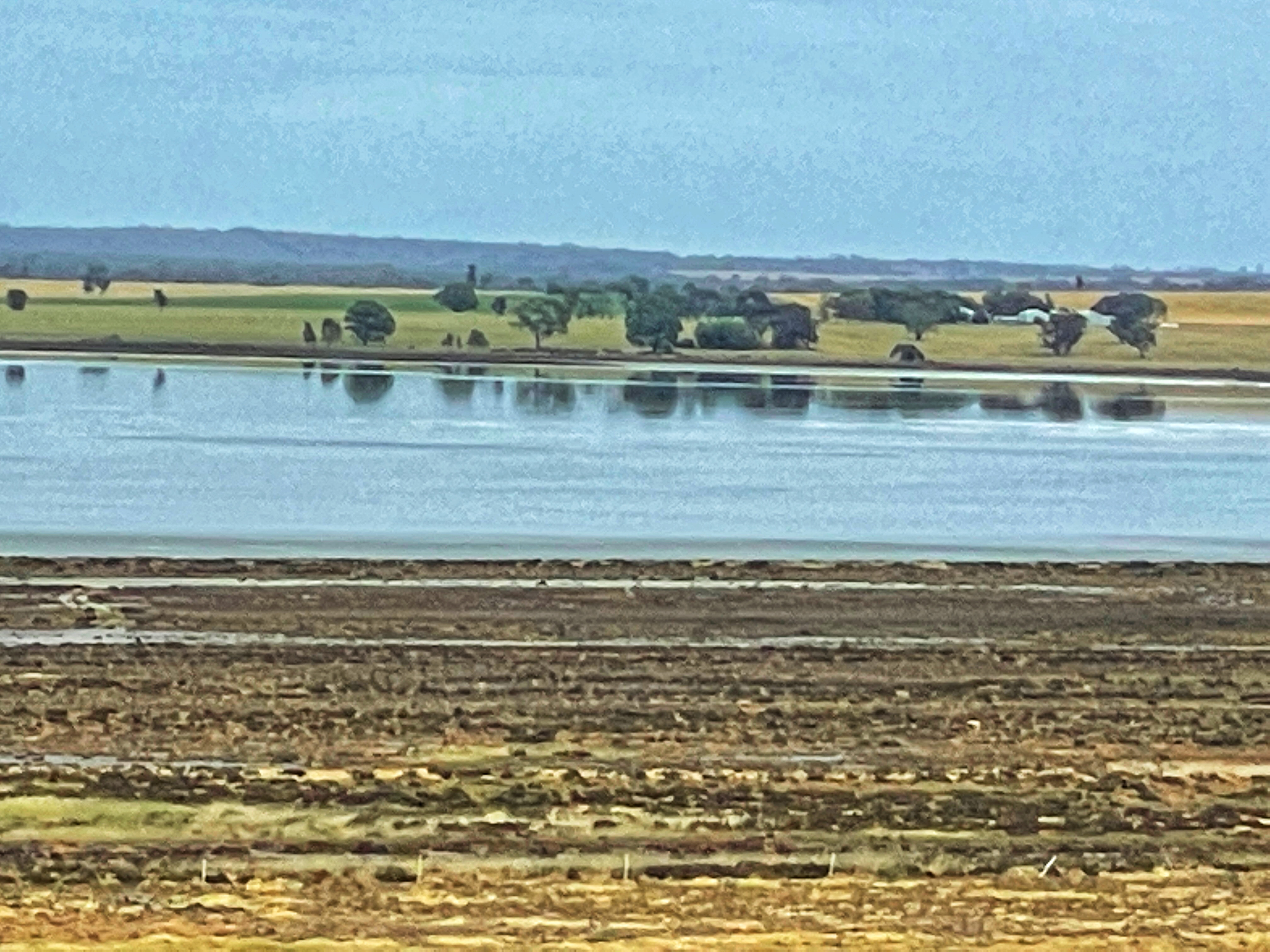
NOTE – I have added some images of a brief winter visit in 2019 when there was water, but the sunset was not brilliant.

Source of information about Lake Tyrrell

Featured

Week 45 – Jackie’s legacy is well worth its salt

What – Walk around a salt lake, in the Jacka Lake & Lakes To North Wildlife Reserve

Where – 40km west of Horsham just off the Wimmera Highway

How long – total walk was 3.47m (with a quick look across the road as well)

10 words – Mysteries and history, salt, paperbarks, centipedes, glassy plants, strange sticks

It is one of the most visible salt pans in the Wimmera

Perched on the edge of Wimmera Highway, nearly 40km west of Horsham Jacka Lake sits in the community of Tooan.

You see a sign from the Highway but the entry is a few 100 metres further on the left off Jacka Jacka Road.

In winter Jacka Jacka Road turns into a mud bath, so veer right when you get off the highway and park on the old reserve.

Jacka’s origin is not clear although I did discover a hard-to-read newspaper reference from October 1952 which mentioned the old Jacka Jacka station at  Tooan, bought by Fred Rodgers in the late 1800s. As far as I could decipher the property was first called Jackie Jackie, in honour of an Aboriginal man known as Jackie, who had saved an overseer’s life in the early days of  white settlement.

There is also reference in Keith Lockwood’s Arapiles book to the Jacka Jacka Forest where a local fugitive, wanted for the shooting death of his neighbour in the 1920s, hid from police before surrendering peacefully. He was apparently a World War One veteran suffering mental health issues.

I can’t find much about the lake history but Keith Lockwood’s Arapiles book does talk about Wileman’s saltworks being at Tooan, on Salt Pan Lake around 1900. It is not clear where that was.

Salt pan would have been one of the many saline wetlands in the Douglas Depression which runs from east of Harrow to the Little Desert edge.

A group of these lakes running north-south, on Mt Arapiles – Dyurrite’s  western flank, form the unoriginally named Jacka Lake & Lakes To North Wildlife Reserve.

The pick of the reserve’s lakes sits on the opposite side of the highway to Jacka and fills in winter to provide some magnificent cool season sunsets.

Dyurrite -Mt Araplies provides a brilliant backdrop to this one, which is home to quite a few birds who decorate the drying lake bed with their footprint trails.

Today, it is almost dry and we are here to visit Jacka, so lets start at the western end and head south.

Jacka is a classic Wimmera salt lake. Decaying, naked fence posts disappear into the distance. Scraggly, muddy glasswort plants dot the shore and a scraping of salt covers the clay bed .

Jacka is smaller and less isolated than other salt lakes Wyn and Oliver. There are scatters of broken crockery and glass and a rusty roll of wire.

He might have had water here a few months ago, but this is Melbourne Cup weekend and things have dried out – with big cracks  starting to show.

Kangas and vehicles have left their tracks and stands of mysterious dry twigs appear at the edge every few 100 metres. Is it art, does it mark a spot or could I be walking past buried treasure? Who knows.

Jacka has more lakeside vegetation than Oliver and Wyn Wyn and Mitre (which we will visit in a few weeks).

The glasswort grows in clumps along the southern and eastern bank, with a golden grass that just loves the morning sun.

At one point I see a half buried gun cartridge lying not far from what looks like the remains of a kangaroo carcase.

There are no live kangaroos to be seen but 1000s of centipede legs are on the move….everywhere.

They climb over small stones, their deep ruddy coats catching the sun before vanishing down holes dotted across the lake.

I head into the paperbarks to find a little forest alive with mustard coloured lichen, layers of bark and magical views to Mt Arapiles – Dyurrite.  Was this where that confused ex-soldier sought refuge all those years ago?

My thoughts are interrupted by a gentle call from above as two yellow-tailed black cockatoos wing  overhead.

Back at the lake things get more saline and with salty patterns on the bed near where a creek flows in.

With the morning sun in full flight, the shadows are big and strong as I head back to car.

Jacka’s  a short walk, but an interesting one and I leave with more questions than answers. Who was Jackie, where is the forest, did those fences have something to do with salt harvest? And what the hell IS under those sticks?

Update spring 2022

What a difference a rain makes. Here are some images from Jacka Lake in November 2022 after several months of good rain.

Week 51 – Big connection, Big rains and Big Water

Where – Big Water following the Wimmera River east from Rokesky’s Road, Longerenong, and exploring just off Burnt Clay Road.

What – Two different views of the Wimmera River upstream from Horsham.

How far – Longerenong Walk – just over 1km but plenty more to explore. Big Water – 10km

10 words – Contrasts – empty stream/brimming pool; wildflowers, eucalypts, history, bulokes, calm.

We can’t finish our 52 weeks without exploring the Wimmera River, upstream of Horsham.

The first is where the Wimmera River and Yarriambiack Creek meet near Longerenong Homestead and the second is the Big Water, which has recently been upgraded for camping and better access and provides some impressive, peaceful and BIG water on the edge of Horsham.

Yarriambiack and Wimmera Confluence

The day before I visit Longerong, big clouds form while I am driving east of Horsham. No rain where I am but someone must have been getting it.

I find out exactly where it landed, as I head down Burt Clay, Longerengong. The side of the road is awash as I pass the gate to Longereong Homestead and the way to my first walk the next day.

According to Sue Devlin’s history, Longerenong’s Aboriginal meaning is parting of the waters – which makes sense as the property sits where Yarriambaick Creek splits north from the Wimmera River.

Burnt Clay Road was built by heaping logs, covering them with clay and then setting them alight. The brick surface provided a high and dry road on these riverflats.

This is a selfish trip. Great Great grandfather Willian Dalton was the manager of Longereong Station from about 1881 to 1901 and my great grandfather Alexander ‘Pop’ Dalton grew up living with his family, and the owner, William Bullivant in the homestead I just passed.

I am keen to explore the waters near where my anscestors walked, worked  and played. 

I come to some trees and park on the right hand side of the road at the bend (carefully for fear of getting bogged) and head down a track on the right hand side towards the river.

The Wimmera River seems to split in several directions here, so finding the right track and is not easy. I cross one stream which is virtually empty and then follow a track to my right. It crosses a creek at one point and then seems to come to a dead end.

Looking on Google maps, it appears I can’t get to the actual creek via tracks on this reserve. I can see Yarriambiack Creek in the distance, but getting there is troublesome.

What I do find is a place that would have been a wonderful playground for the Dalton children – and probably the Wotjobaluk Nations children before them.

It obviously gets a lot of water when the river floods but today there are pools but not a lot of water where I am walking.

The Yarriabiack – a distributory – flows when the Wimmera gets full. It would be pretty wet around here for that to happen. Sue Devlin’s book taklks about not being able to cross the creek for months at a time in wet years.

I find a big scar tree, native flowers, and a stumpy tail lizard.

I walk in the dry creek bed among the huge roots of ancient trees, enjoy snippets of the Grampians -Gariwerd through the gaps in the bush and feel as if I am kilometres away from the rest of the world.

I wonder if the Dalton children came here to swim when the Yarriambiack was dry. I wonder if they got their water from down here. Maybe it was considered dangerous and out of bounds too?.

Today I know the Yarriambiack is out of bounds for this Dalton.

I head back along Burnt Clay road and stop and look at the Yarriambiack Creek on Longerenong Road.  It has a bit of water due to the recent rain. It is a nice spot and I like to imagine Pop and his siblings fishing here in the good years.

How could you live so close to such playgrounds and not investigate.

BIG water

Today we shift from big rains to Big Water.

This is a gem which has recently been given improved access through work of the Wimmera catchment Management Authority.

I head to Riverside road, cross the Wimmera River Bridge and immediately turn left into Heards Road, from here I follow the road around until a sharp right hand turn into Rokesky’s Road. Slow right down and carefully turn left down the dirt track to the river.

This takes you along the Wimmera to Big Water.

Nestled along this dusty trail are a series of places to fish, camp or just contemplate under one of many trees.

My early morning shadows are long the colours brilliant as the Wimmera and the world wakes.

Still, blue skies make for mirror perfect reflections on wide, still river.

There are an abundance of blue devil flowers and – to my initial shock – a dead snake on the road.

One area’s thick with skinny young saplings – possibly a result of the 2010 flood – and across the water relatives from an earlier good year line the bank.

Golden Billy buttons glow in the sun which also provides dramatic shadows.

A stand of bullokes, thick with yellow and red seeds, sing despite the stillness and provide the perfect host for ruby salt bush.

The winding river provides many big pools, including one featuring a rope swing, platform and ladder.

I wonder if it was always this big or it got bigger when weirs went in at Dooen and then in Horsham. Some trees seem to be scarred, which suggests they predate white settlement so maybe this has always been this way.

I reach the other entrace to this area – at School Road and then turn around and return via the main track to my car. Only one area is being used by campers and for the rest of the journey it is me, the river and the birds.

Such a great journey and next time I will bring my bathers and test the water.

Week 50 – Free falling along the Wannon

What Nigretta and Wannon Falls Walks, including Wannon town walk and Thomas Clarke viewing platform.

Where – west of Hamilton, Victoria

How Far: Wannon nearly 4km and Nigretta 600 metres

10 words: Ancient volcanic relics waken sleepy river but not the koala!

Wannon Falls and its punch bowl

As a child no winter was complete without taking a half-hour trip north to see the force of Wannon and Nigretta falls.

They were no Niagra, but just as big in our books as we watched, heard and felt that bubbling white torrent dramatically dive into small pools below.

Not only did many roads lead to these landmarks, but they’d captured the imagination and creativity of famous pioneer artists.

Today, as I kill time in Hamilton, I will revisit the rapids of my childhood and take a walk where the sleepy Wannon River awakens as Wannon and Nigretta Falls.

Don’t get too excited – it is the dry season and the river’s looking pretty thirsty – but I am hoping you will enjoy the stroll and the scenery no less.

First stop are Wannon Falls. I believe this is the traditional land of the Djab Wurrung people whose language group boundary generally extended from Stawell in the north, Halls Gap, Dunkeld and the Wannon River in the west, Mt. Napier and Hexham in the south, and Salt Creek, Lake Bolac, Fiery Creek and Mt. Cole in the east.

The Dja Wurrung are reported to have held a Corroboree near Hamilton in 1862 but by the late 1860s, white authorities had moved many of its mob to ‘missions’ at  Lake Condah or Framlingham near Warrnambool.

You wonder what stories were attached to these falls, 19km west of Hamilton, just off the Glenelg Highway.

To find the actual falls, turn into the camping ground and follow the track to the viewing area car park. One minute you are walking through trees and suddenly the landscape opens and you watch the river drop 30m into a big hole

Known as a punch bowl, it formed from a lava flow 1-2 million years ago.

I swam in this pool as a teenager and walked under the falls. No dice today. It is a safe 21st Century viewing platform and big fence to keep us well away from the water’s edge. Probably just was well –  they ARE big rocks.

During the mid 1800s the falls capitvated visiting European artists including Nichoals Chevalier, Thomas Clark, Euegene Von Gurard and Louis Buvelot. Hamilton Art Gallery has Buvelot and Clarke renditions – with the former capturing them in full flight.

I take a few shots of the trickling falls before heading upsteam.  It reminds me of childhood movies – a ‘harmless’ river just dawdling along and then BAM – an unexpected drop.

The stream is part of a history walk that takes you through Wannon town, which for some reason we always referred to as ‘The Wannon’.

The history walk takes me out of the park, across the highway and to a 1917 bridge. This structure  took just five months to build and was one many using John Monash’s Monier concrete design. Monash, who was probably better known for his leadership in the trenches of France and Belgium during World War 1, was an accomplished engineer.

He pioneered reinforced concrete and at Wannon, this system helped create a new bridge using the existing bluestone foundations. Decorative cement render on the pillars really has stood the test of time.

It is a nice view looking into the river and amazing to think of just how much water has passed beneath over the years.

A sign tells us of a past pub beside the bridge. The publican fell on hard times and told the bullock drivers guests the bailiffs were coming to take his house. The patrons jacked up the building, put it on skids and used their cattle to drag it up the road to his mother’s block. When the law arrived there was no ‘house’ to repossess.

I cross the bridge and I turn left down McGregors Road. There’s a church on the left and the old school site on the right.

The Church,  built 110 years ago from local redgum,  shut in 1966 and it now a Scout camp. The big grounds include a huge old pine tree perfect for shaded post-worship catch ups and Scouts’ climbing expeditions.

The school had 50 students when built in 1876 but things ebbed and flowed over the years with teacher shortages and war cutting classes in the 1930s and 40s.  One energetic teacher shared his time between Wannon and North Byaduk which involved a 35km bike ride both ways.

I follow this road to the Glenelg Highway and cross the river on a large soulless –  replacement for the Monash’s handywork.

The big clouds and a clear and gently flowing Wannon set a dramatic scene which gets even more interesting when I eyeball a koala who does not bat an eyelid despite the photographic attention.

Back in the car, I head down Chrome Road to see where Thomas Clarke did his creative famous painting.

The walking track to this alternative viewing point is pretty sketchy and I give up half way – only to realise later that it did lead somewhere. But I do get the vibe of Tom’s view of the falls and spend some quality time with a flutter of butterflies that join my trails.

Now it is time to head to Nigretta Falls, via classic red gum country. Do be careful on the blind corners along this narrow road which has several houses and quite a bit of traffic.

Nigretta falls are named after an early squatting property whose homestead,  built in the mid 1880s ,once stood slightly upstream. Back in the 1930s, falls’ visitors apparently passed the ruins of a stone house complete with door and window frames, a chimney and a burst of Irises in spring.

The Nigretta reserve was first declared in 1912 and the falls provided popular as inspiration for early photographers and artists, including Eugene Von Gurard, and even featured on the walls of old red rattler trains.

They are different to Wannon, with a wider, multi-channelled flow. Today it is just a trickle but things can change after winter and spring rains. (I have included an image from a previous visit.)

The track takes you right down to the water’s edge for a ground floor view which features some geometric and colourful rocks.

I take a second track to an older platform up the top of the falls and watch tiny streams of white water carve their way between gaps in the red, brown and deep grey rocks before hurtling over the edge.

This would be a great place to stand when the falls are in full flight.

Thanks, Wannon and Nigretta, no matter the flow, you are well worth visiting for the view, the memories and the marvel of seeing and hearing running water.

Week 49 – Desert Island wanders

What – two gullies walk at Dyurrite, Mt Arapiles.

Where – West of Natimuk, Victoria

How far: Two gullies walk is about 5km, but I did a bit of a detour around the camp

10 words: Energising, exhausting, amazing views, contrasts, rocky, historic, just do it!!  

Mt Arapiles – Dyurrite is many things.

She has a presence, standing tall and proud – an island of rock in a flat sea of clay, sand and stubble.

She dazzles when dawn or dusk light catches her rock face.

She has watched countless people pass her way over 1000s of years and silently holds their secrets.

She happily shares her park with a host of animals and plants.

And every day she patiently hosts climbers, who spread like tethered ants across her body, in their quest to achieve the almost impossible.

Dyurrite is one hell of a rock – in so many ways.

She is home to more than 40 important cultural heritage sites for the Wotjobaluk people, including quarries, rock art and shelters. Her hardened sandstone was perfect for tools.

About 40-50million years ago, she sat in water, an island in the Wimmera’s inland sea. Today, years later, some rough textured rock faces still bear wave erosion marks.

Not being agile enough to spread like a tethered ant, I am going to ‘eleph-ant’ my way up and down two of Dyurrite’s gullies today.

She is more than a just wall to conquer and I will show you why.

Being seriously unprepared, I am map-less but will be guided by vague memory, gut instinct – and any signs I find.

I drive towards the summit and park at the Bluff lookout, walking from here towards the summit, before turning off onto Pharos Gully Walking Track which heads down the side of the rock.

I see a kangaroo– then he sees me and retreats. I am also playing unofficial chasey with tan and gold butterflies along a narrow winding track.

It is going to be a cracking day, with early morning sun really hitting its straps. The views are magic and the pink and yellow wildflowers just glow.

I can see why the climbers love challenging themselves in this setting.

A natural window frames the straight lines of harvested flats, which are only interrupted by isolated trees or a square dam carved out of the flatness.

It is a steep descent but not too hard. Once back at ground level, I begin to look up. The old rocks become a tent or a pyramid, a fortress and a three-dimensional mosaic.

Distracted by the rich colours and textures, I completely miss the next track. But, after a circuit of the camp, Central Gully track looms and I start heading up again towards the Bluff.

It is harder going up and I stop ‘for a few looks’ along the way.

There is a shell in one rock, and I wish I knew where to find the wave marks.

I puff a lot, I am in awe of the Gariwerd vista, and before I know it – I reach the top.

There is a quick scan east from the Bluff lookout, just a bit further along the track.

The Bluff rock summit also provides views in just about every direction. I have done a couple of sunsets here and it gives you rare views to the west.

You have to do a bit of scrambling along the the track, which is not that clear, but it is worth the effort. I’m not bluffing!

And there you have it – Dyurrite before breakfast.

Respect her, tread carefully, be mindful of her rich cultural heritage but most of all enjoy your time on this absolute, ancient rock of a place.

Week 48 Blazing trails on Barringgi Gadjin’s banks

What Wimmera River- Barringgi Gadjin loop from Stawell Road to Riverside and back in Horsham.

Where: Horsham township and fringe

How Long: total distance doing both sides of the river was about 12km

10 words: Diverse: suburbia to isolation, historic connections, great views and flora.

Follow a big river in dry country and you walk in many footsteps.

Today, we travel both sides of the Wimmera River – Barringgi Gadjin between Horsham’s two main bridges,  following paths well-travelled over 1000s of years.

So, I pay my respects to the traditional owners of this land – the Wotjobaluk Nations – as we travel this river from the main bridge in Horsham to the Riverside crossing, and back.

Barringgi Gadjin was, and remains, a vital source of life and culture for the people of Wotjobaluk Nations, with 100s of cultural sites on and near its banks. Creation stories tell how it formed from the trail of blood of giant emu Tchingal.

Our walk begins at the bridge near the Horsham showgrounds. I cross it and head through Windsor Park along the river’s edge.

Water level is high,  color murky brown and the sun shines.

The afternoon’s quiet is interrupted by noisy parrots feeding their young in hollows above the path and bees making the most of flowering gums.

Monster shadows are dramatically cast as I approach the mouth of the Burnt Creek.

I cross this creek – which is looking pretty good with the Wimmera’s overflow – and find and cross a footbridge.

It’s suburbia now, but back in the day this place hosted Horsham’s golf course. No doubt flooding deterred houses back then, but golf courses could take a few extra water hazards, from time to time.

They played golf here from 1924 to the 1950s, with the course accessed by a bridge built from the end of Hamilton Street. There was also a bridge across Burnt Creek near the fourth Tee.

Today the fairways have been replaced with endless brick house-filled blocks.

I head along Mardon Drive to Williams Road on a detour which will ultimately get me back to the Wimmera River.

There is a walk along Burnt Creek 2 – Latus Walk – which follows the back of houses and includes plenty of trees and shade. The ‘creek’ is not one I would drink from, (as are most around here) but the ducks seem happy enough.

The drain crossed, I head towards Williams Road and once over a bridge turn into Cameron’s Road.

This long road – that starts near Dooen Road, crosses the Wimmera River and ends on Stawell Road – is named after my five times great grandfather Angus Cameron.

After moving to the Wimmera 20 years ago, I discovered some family connections from the 1800s. Angus was on the Horsham Borough Council from its inception in 1880 until his death in 1894, including Mayor in 1890.

A blacksmith by trade, he emigrated from Scotland to Geelong in 1853 and then moved to Horsham in 1861. He was involved in the Horsham’s show and hospital and Free Presbyterian church.

He did not drink and, with wife Anne, was active in the temperance movement and described in his obituary as a ‘staunch and zealot trailblazer’.

Eleven years after he died Angus’ granddaughter Flora married my great granddad Alexander ‘Pop’ Dalton.

Today, 115 years later, I am not sure I know of too many devout, abstaining descendants! But with dear old Angus in mind, I blaze my trail along the hot and dusty Cameron’s Road, looking to the big sky and thinking of what it was like back in his day.

Grampians-Gariwerd would still have been sitting there in the background, the sky probably just as blue.

I walk his road, happily channeling Angus, until it comes to an abrupt halt at the edge of the river. It looks like there may have been a crossing at some point, with remnants of old posts, but this is where I leave Cameron’s Road to follow another track along the water’s edge.

There are plenty of trees, some appear to have been planted, and others, predating even Angus, cling with great determination to the riverbank. They bear scars, from fallen limbs or possibly the hands of the Wotjobaluk making use of bark.

There’s a bit of brown water inching its way along, I see my friend Bernard on his bike and one car. But it’s a quiet trail I am blazing today.

The second bridge crossed at Riverside Road, I begin my return on the other side of the river.

There are dozens of flowers – blue devils, callistemon, and possibly a parrot pea, native bluebells and melaleucas.

I see a couple of mountain bike riders and even hear a party from across the paddocks but it’s a peaceful wander along the Wimmera.

The closer I get back to town the better that track and if I want to, I can always opt for the gravel road adjacent to the walking path.

I pass a couple of chairs dedicated to people who have died. Looking over this water is the perfect place to remember somebody special.

At the end of Baillie Street, there’s a heli-pad and the hospital, that Angus had a hand in, stands a couple of blocks away.

The river widens, which makes for some great reflection shots, but the big shallow expanse somehow lacks the charm of a narrower parts.

There is a sign about the old swinging bridge to the golf course and before I know it, I am back in suburbia.

Vegetables greet me as I enter the big empty showgrounds – another Angus legacy – and head back to my car.

It’s been a long and blazing hot 11km trail and my water bottle is empty. Angus would be pleased to know that I am heading straight home for a water.

But sorry gramps, it being Saturday night, I won’t promise complete abstinence. Flora may have been born a tea totaling Scot, but she did marry an Irish Dalton!

Week 47 – Mitre had a nice walk today

What – Mitre Lake, large salt lake in Douglas Depression

Where – west of Horsham

How far – Mitre Rock to Vinegar Hill via Mitre Lake 5km

10 words – Vast, salty, sandy, mud, snails, shells, no waves or gulls.

We started the year with Mitre Rock so seems fitting to walk a lake of the same name as we near the end of our 52 weeks.

We’ll follow part of this big lake’s southern shore along Arapiles Big Sky Trail.

Mitre looms large in the landscape, especially when looking from the summit of Arapiles- Dyurrite or Mitre Rock.

I often visit Vinegar Hill, perched above Mitre Lake, to watch the sun set over the lake but today is my first official visit to the water’s edge.

At the start we take in some nice views of Dyuritte – the former island that 420million years ago, had waves from an inland sea, lapping at its edge.

Not that there is a lot of water today. It is November, things are drying, and the shallow remnants of salty water lie far from the lake’s edge.

From Mitre Rock, a bitumen bike track takes us down the slope, through a gate and onto the old railway line from Natimuk to Goroke which shut down in 1986, 92 years after it opened.

You can see a silo ahead that was probably a stopping point for the trains that moved people, mail, food and farm produce in the days before cars and giant grain trucks.

It is all quiet today, whistles, rattling wheels, steel rail and red gum sleepers a forgotten memory.

We follow the track to Mitre Dam Lake Reserve. More crumbling signs from the 1980s and another long skinny lake, which is probably fresh water but virtually dry apart from a puddle in the middle. The 720-hectare park allows camping so probably worth a look in wet year.

One tree has a big scar, and you wonder who else camped here and enjoyed the fresh water long before the trains arrived.

I skirt around the dam and follow the track to Mitre Lake’s shore.

Trees along the track provide good shelter for some wildflowers and, of course, the salt lake classic – glasswort.

There are great views back to Dyurrite and I notice the row of bare hills to the southeast which would provide some run-off into the lake.

Big sky Bike Trail is aptly named.  Even on a dull day, you get a powerful panorama, with Dyurrite looming large and dark beneath.

I pick my way through salty, crusty grey lake edge, watching water shimmer in the distance. It feels and smells like a beach, there are even shells on some plants, but I am 42 million years late for waves or seagulls.

From shore level you can’t really appreciate the distant water or the sheer size of Mitre. I look down instead to the plants that burst from the desolation.

That anything grows and lives here seems a miracle – and they are so bright and colorful.

There are also signs of birds, bikes and kangaroos – the latter leaving big tracks, especially in wetter patches.

I see Vinegar Hill and leave the lake to head up a track to its lookout.

The hill provides a new perspective with Mitre now a big stretch of water, complete with reflections.

A patchwork of lines, colors and textures that reminds me how the Wimmera unique landscape has grown on me over the past 20 years.

And this is on a dull day. Vinegar Hill views at sunrise and sunset is even better.

I was ended my walk at Vinegar Hill but if you and return to Mitre by continuing along the track till you meet Arapiles Grass Flat Road.

Turn right and follow this road back to three Chain Road, which takes you back to the bike trail. Head through the gate near Mitre and back to your car.

Watch out in Winter – this place gets wet and always watch out for snakes too.

Week 46 – Wind and sunlight erupt at Mt Napier  

What – Mt Napier – Tapoc, young Australian volcano which erupted 32,000 years ago

 Where – Mt Napier State Park, south of Hamilton

How far – 2.5km return and 145m elevation

10 words – Worst windy day for climbing but brilliant experience and view

Mt Napier – traditionally known as Tapoc, Taapuuk or Murroa – provided much childhood wonder and dread.

It is among the youngest of mainland Australia’s volcanoes and my adolescent self lived in fear of its re-awakening.

The daily school commute passed both its peak and the rocky valley which had been a river of lava 32,000 years earlier.

Often, I would check for signs of steam curling from the rocky summit.

As a young adult I conquered this fear and climbed to the top, joined by a mob of roos sheltering in the bare crater.

Tapoc – which was possibly named from the local Taapuuk Gundidj clan – is a towering island in the sea of stones, trees and bracken which is Mt Napier State Park.

This mess of almost impenetrable bush is a stark contrast to the patchwork of square, grassy, sheep and cattle-filled paddocks that surround it.

To get there you head south from Hamilton towards Macarthur, turn left into Old Murroa Road (there is a sign to the park) and follow the winding bitumen to the park entrance.

From here it is another 4km of bumpy gravel to reach the walk. Look closely and you will see remnants of old lava flows in amongst the big and healthy trees and the lush bracken.

The well-signposted start to the walk is just beyond an old quarry site.

We are walking in November during a wet spring and the grass is high and drying out so snakes – who just love this rocky paradise – will be on the move.

It looks like my timing is perfect – just days after whipper snippers turned the tall spring growth in slashed and smashed piles of thistles and grass at the track edge.

It is a pleasant, easy walk through the big, moss-covered trees which show no signs of any recent fire damage.  

A carpet of bracken spreads as far as the eye can see between the blackwoods and gums providing great colours, textures and patterns.

At times the trees thin out and I get a view to the north, before it is all lost to a steamy mist.

Showers turn to fierce wind and rain on the bald summit. With a deep crater either side I bob down and shelter beside the cement block with a plaque.

No magic views or kangaroos today so I retreat to the trees.

Calm is quickly restored, for much nicer downhill ride.

There is a glimpse of Budj Bim’s summit, tall blackwoods and plenty of lichen and mosses on the trees and rocks.

The only eruption is late afternoon sunshine that paints the bush in a new and charming light.

It is an ideal end to the short walk and where I reconnected with an old friend, hung on for dear life and gained a new perspective on this volcanic icon.

Week 44 – This dynamic duo is sweet and gorgeous

What – Beehive Falls and Golton Gorge

Where – Northern Grampians (Gariwerd)

How far – Beehive Falls – 3km; Golton Gorge – 1km

10 words – Oldies but goodies, good paths, great views, short and sweet.

I feel like an ultimate tourist today doing the Northern Grampians (Gariewerd) easy dynamic duo – Golton Gorge and Beehive falls.

They are a great addition to Hollow Mountain (Wudjub-Guyan), Mt Zero and or Mt Stapleton (Gunigalg) as the gorge is just a bit further along the Halls Gap- Flat Rock Road towards Halls Gap from these places.

Golton Gorge is easy and short – I walked it one night after work with the benefit of daylight savings.

You follow Golton Creek, which joins Mt William Creek and then ends up in the Wimmera River.

There is not much water today as we are well into spring, and it has not rained this week.  Once again there are flowers to see on the way up this good track.

The official track is only about 300m up but today because it is dry, I do a bit more scrambling to see what is at the top of the rocky rise. It is worth the scramble as the view from the top is one of the best in the Grampians.

Before me is 50 metres of sloping grey rocks flattened and streaked by centuries of water flow, with a tangle of bush beyond and a backdrop of bold blue sky and greying clouds.

Peer upwards to the gorge wall and the view is just as dramatic. Orange, white, and black stones set in a chaotic mess of geometric shapes. It is as if Mother Nature took to it with a giant angle grinder after a few too many drinks.

At times, these rocks are almost striped and so smooth after years of wind and water through this gorge.

There are also little pools of water making this an ideal spot to simply stop, contemplate, and just enjoy a different place and view in this mighty range.

Tiny trickles of running water roll down in the rock pool where a fat tadpole watches me as he lies perfectly still.

There is no wind and still water beautifully mirrors the big evening sky.

Directly over the peak of this gorge is Copper Mine track and this area has shafts where copper mining took place sometime in the past.

We head down and continue east before turning onto Roses Gap Road to visit Beehive Falls.

This is another Gariwerd classic and about 2.4km in total.

The evening sun make Bracken fern look quite beautiful as we take to the well-made path.

I see a wallaby watching me from the site and as I concentrate on his statue like demeanor. I completely miss the kangaroo that bursts out of the bush just ahead. Did not see that one coming!

The mountains ahead are quite orange in color but there are not the dramatic shapes of Golton, more rounded than geometric.

The path, which follows Mud Hut Creek, has a bit of climbing and twists and turns and there are many flowers to see along the way.

The delicate falls tumble gently over several big rocks that seem to be stacked vertically and home to many plants including ferns.

Wispy water trails roll down providing shimmering colorful features where they hit the rock.

Apparently, there are beehives here, which makes sense as bees like water.

There was a big apiary industry here in the early days which is no wonder when you see the capacity for the area to produce flowers all year round.

Indeed in 1917 The Melbourne Argus dubbed the Wimmera was as Victoria’s chief honey producing region with about half the state’s output coming from hives based in and around the Grampians.

It is a great path; the access is easy and the trip back about all downhill – a quick and effortless walk but a sweet result no less – at Beehive Falls.

Week 43 – 500 million reasons to visit these rocks

What – Baileys Rocks Camping Ground and walk, Dergholm State Park

Where – Near Dergholm and 47km north of Casterton.

How long – 5km walk around the rocks and along Rocky Creek.

10 words – Giant green granite rocks, enduring ancient landscape, wildflowers, creek, bush.

We are lucky to be visiting Bailey’s Rocks today for whole truckload of reasons.

These old stones have somehow survived all that the world decided to throw at them over about 500 million years.

They also dodged a modern-day bullet – almost literally – when locals thwarted a plan to blow them up half a century ago.

Situated on the Bogalara Block of the Dergholm State Park, just outside of the town of Dergholm, these giant boulders dominate part of the scrubby slopes on the Victoria South Australian border around 400km northwest of Melbourne.

The camping ground’s unassuming car park gives little clue as to what you will find when you head down the rocky path to a valley below.

A narrow dirt track winds around a few 2-metre-high boulders and then, down in the valley, you are confronted with a host of even bigger rocks stacked along the hill and even overhanging the creek.

I believe we are on Jardwadjali country, and one reference suggests it was the Kanalgundidj clan whose mob lived on and walked this unique country long before Thomas Mitchell arrived in 1836.

Mitchell – famously described western Victoria as Australia Felix – Latin for “fortunate” or “happy” Australia – sparking the arrival of many white opportunists keen to take advantage of the lush pastures.

Several Aboriginal people lived on an 80-acre reserve at Dergholm, which might be somewhere southwest of the camping ground. This reserve lasted from 1873 until being ‘revoked’ in 1902. One of the residents was Tommy Redcap, a shearer and member of the first Aboriginal cricket team who also helped Dick-A-Dick locate the Duff children Lost in the Bush near Natimuk in 1864.

Wander through the giant boulders, that line little Rocky Creek in the park and you can only guess at the First Nations stories attached to these ancient and mighty rocks.

A report from the Hamilton Field Naturalists Club’s visit back in 2015 describes them as coarse-grain granite rocks and among the oldest in Victoria at a staggering 500 million years!

The report also tells how in 1970 a local resident Alistair Roper heard an explosion at the rocks, at the time a popular reserve, and went to investigate.

A company had drilled holes in 13 or more rocks and planned to blast them and turn them into pebbles to sell at Melbourne for gardens.

The locals formed a committee to oppose the mining permit and the matter went on for the next nine years with the Hamilton club also getting involved before the rocks were saved in 1979.

Baileys Rocks was then included in the 10,400 ha Dergholm State Park in 1989. The Park comprises the Bogalara Block west of the Glenelg River and the Youpayang Block east of the Glenelg River.

The name Bailey’s Rocks is something we can attach a story to. John Bailey leased the area from 1888. Before he and wife Frances arrived, they had lost three of their six children including one who drowned in Lake Wallace at Edenhope.  

Fortunes seemed to change at the Baileys’ 485ha farm with a slab hut built near the current picnic area and more children born and surviving. John ran 150 sheep and worked as a shearer and road worker.

Unfortunately for the local kangaroos and possums there was money to be made from their skins, and he also stripped wattle bark for tanning.

Mrs Bailey used a hollow under the big rocks as the perfect place for a cool room to store eggs, butter and meat.

Wander down to the creek from the car park and you can see a giant gap under the rocks where it flows through.

I take the short walk around the rocks and then join the 5km Rocky Creek walk that takes you on a wonderful wildflower adventure.

Sometimes the rocks stand alone and others they seem to be doing an archaeological ‘stacks on’ as they tumble and fall all over each other.

Some stand proudly and defiantly on the slope; some little rocks sit precariously on the top of big ones and others look like they will split at any moment. I hope not.

Some are green with bits of orange showing through; or have a hairy layer of pale green or yellow lichen combed over the top.

Others are almost spotted, with brilliant lime green moss that complements the bracken bursting from gaps between.

Marveling at their size, shape and ‘art’, I think about the waste it would have been to reduce them to pebbles.

Those Bailey kids must have had a ball in this natural adventure playground.

From the rocks, the track takes you along the creek and while the rocks thin out, they do pop up again from time to time. There is a little bit of water but not much.

As we leave the creek, the bush changes, the land flattens, and new wildflowers begin to pop up along the edge.

It is stringy bark country with a few of those wattle trees that I am guessing John Bailey used for this bark.

There is still bracken but also grass trees and other shrubs.

I see banksias, orchids, tea tree, grevilleas, billy buttons, chocolate lilies, sun dew and, I am guessing, possibly the famous Dergholm Guinea Flower which had a five-year recovery plan written for it back in 2006 to ‘minimise extinction’.

The walk is well marked with a good, easy path. About three quarters of the way you join a road and follow this back to the rocks and car park.

I am so glad Alistair Roper had both good ears and a strong resolve. These rocks are something to fight for and enjoy then, now and into the future.